Elections Today
- Pennsylvania
Recent Projections
| State | Candidate | Delegates |
|---|---|---|
 Donald Trump | ||
Pennsylvania |  Joe Biden |
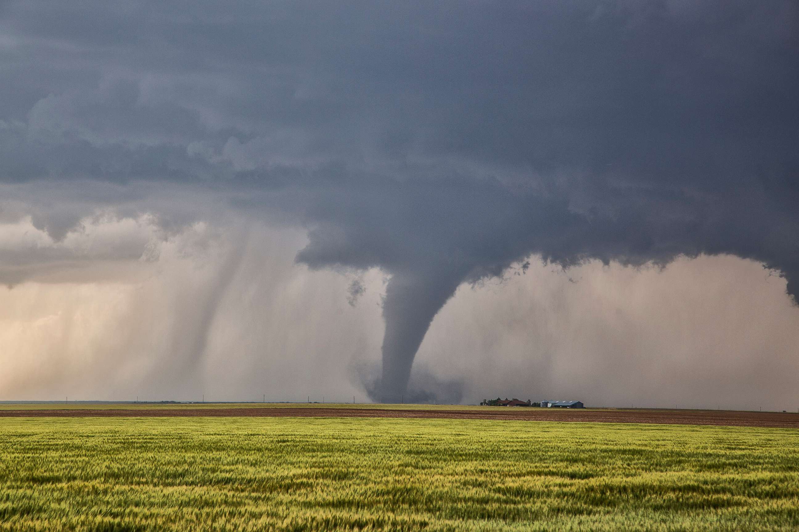
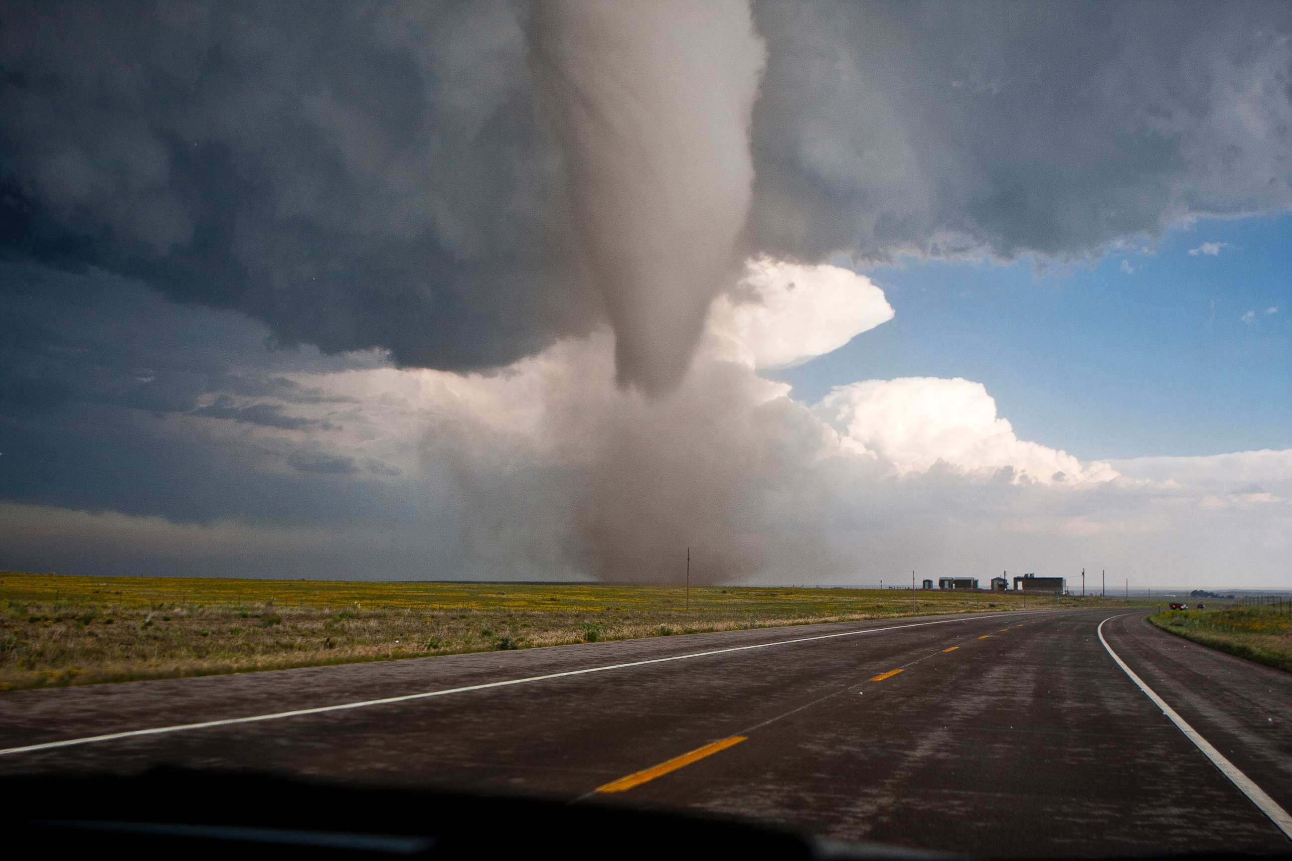
How tornadoes are formed
Jet streams play a key role in how tornadoes are formed.
When it comes to tornadoes, you’ve seen them, and you’ve seen what they can do. But do you really know how a tornado forms into that monstrous swirl of dangerous winds?
How does the jet stream play a role in tornado formation?
The jet stream is a fast moving tunnel of air about twenty five to thirty five thousand feet up in the atmosphere. It is the same height at which we fly in commercial airplanes. The jet stream zooms over the Rocky Mountains, pushing cold air over the Plains at speeds of up to 275 mph. Remember this is happening in the upper level of the atmosphere.
What is wind shear?
Wind shear is the different in wind speed and direction between the different levels of the atmosphere. While a jet stream is moving from west to east with cold, dry air at high speeds in the upper level of the atmosphere, warm and moist air is flowing up from the Gulf of Mexico, moving south to north at slower speeds closer to the surface. This is the difference in wind speed and direction with height that create the wind shear.
How does wind shear help form tornadoes?
Wind shear can create a horizontal rotating column of air - known as a vortex - in the atmosphere. When wind shear is present during a severe thunderstorm a tornado can form. But first, a severe thunderstorm has to form.
How does a severe thunderstorm, or supercell, form?
A storm forms when you have rising air and condensation releasing heat. The heat provides energy that drives updrafts - rapidly warm rising air. Then, there is the cold, dry air sinking down on the outside of the storm, known as the rear flank downdraft, or RFD. That forces a big temperature difference between the storm and the outside environment, so the storm itself is rotating.
How does a severe thunderstorm then turn into a tornado?
Remember that horizontal vortex formed by the wind shear? Now the updraft within a severe storm can actually turn that horizontal tube on its side, making it a vertical vortex. It has now become a vertical rotating column of air, or as we all know it, a tornado.
Related Topics

Related Stories
ABC News Live