Stunning aerial photos reveal evolving Antarctic landscape

1 of 15
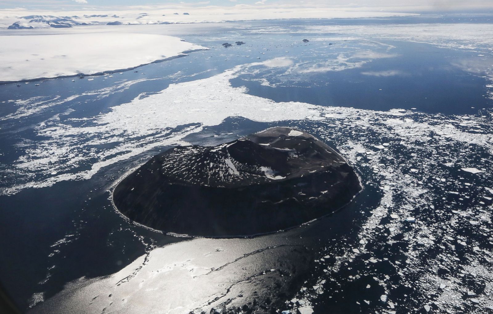
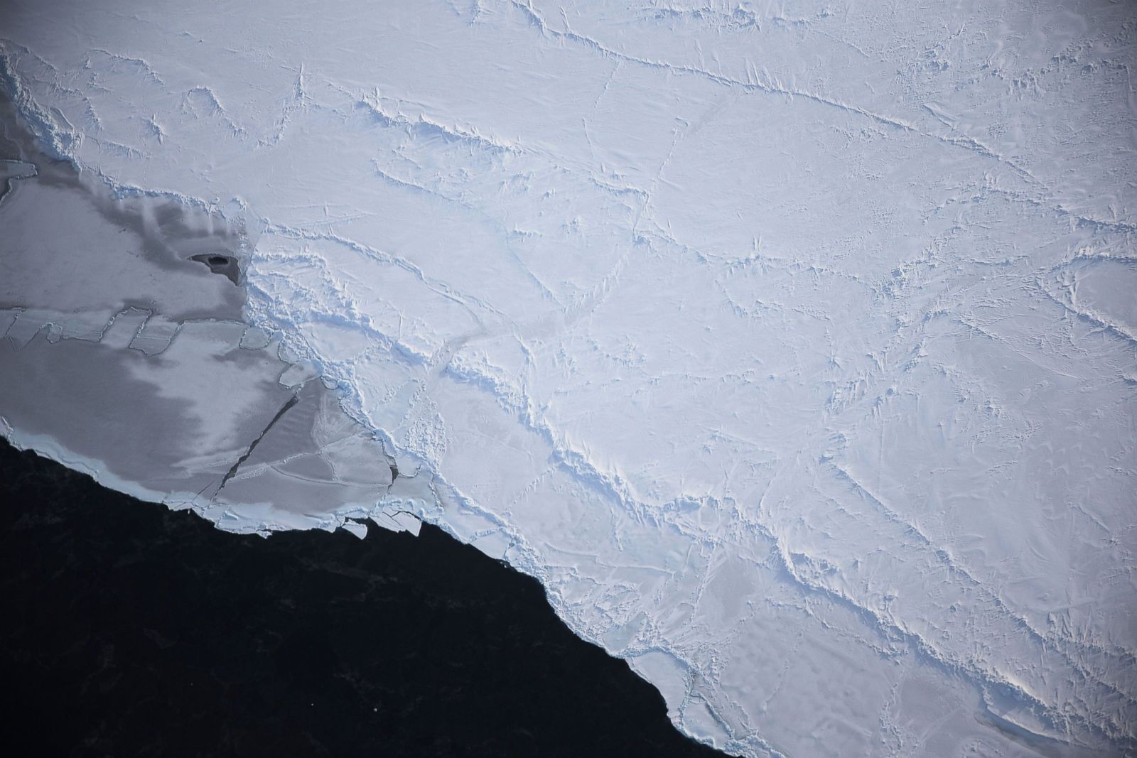
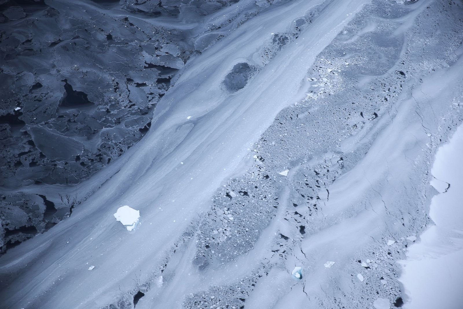
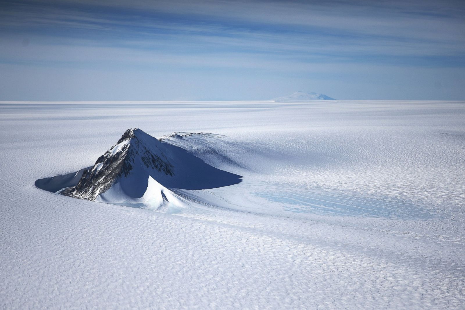
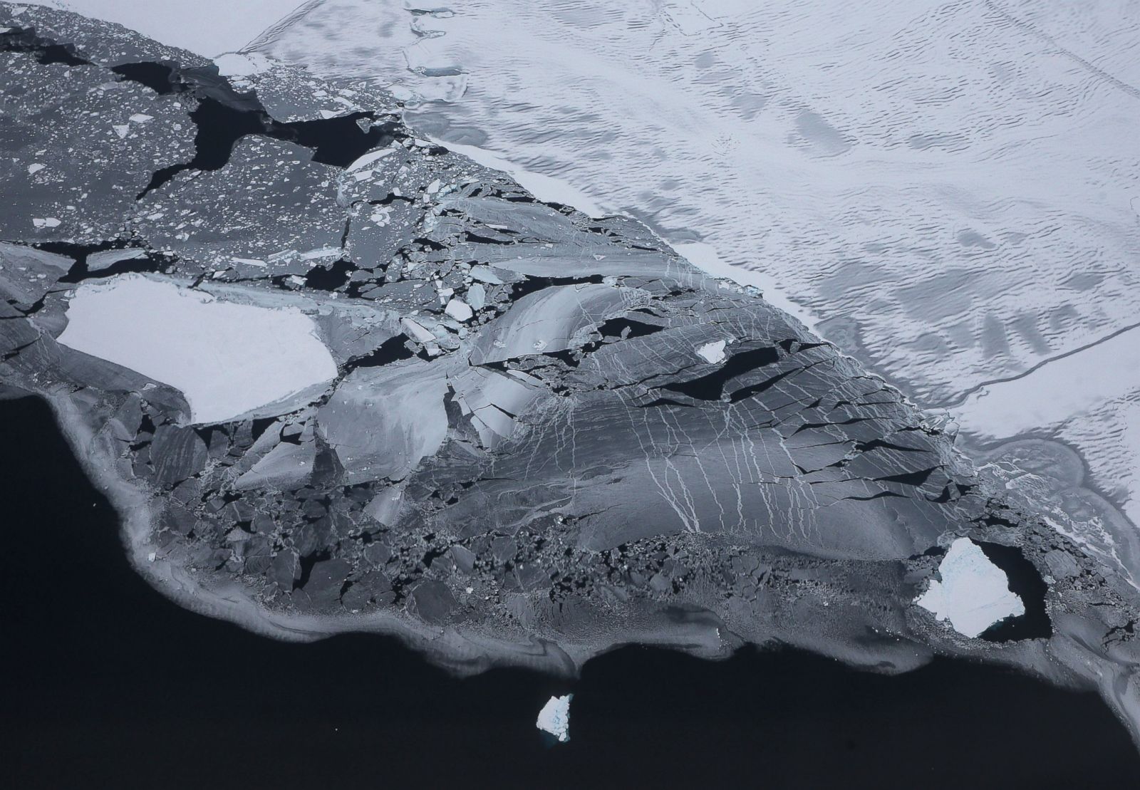
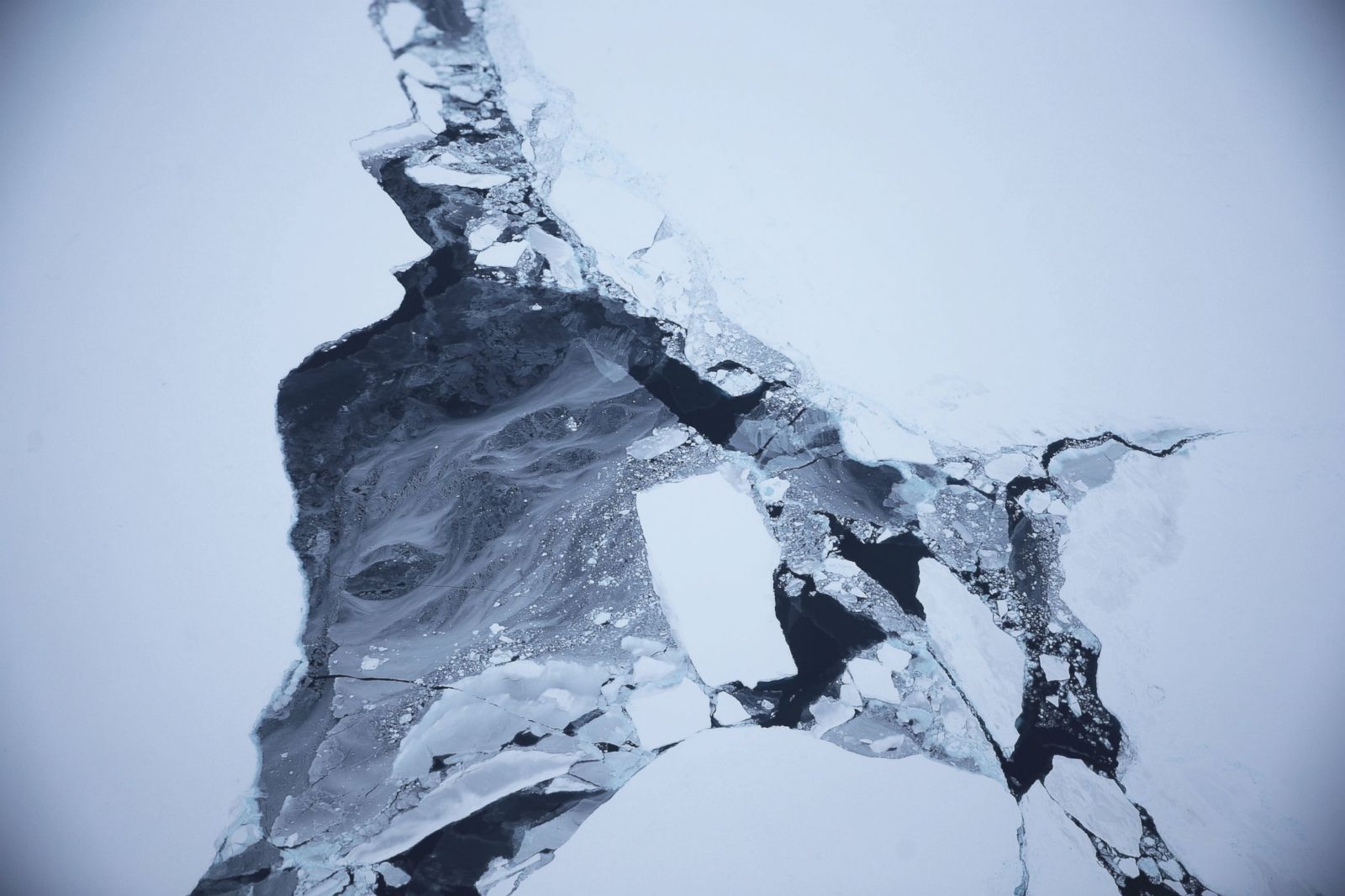
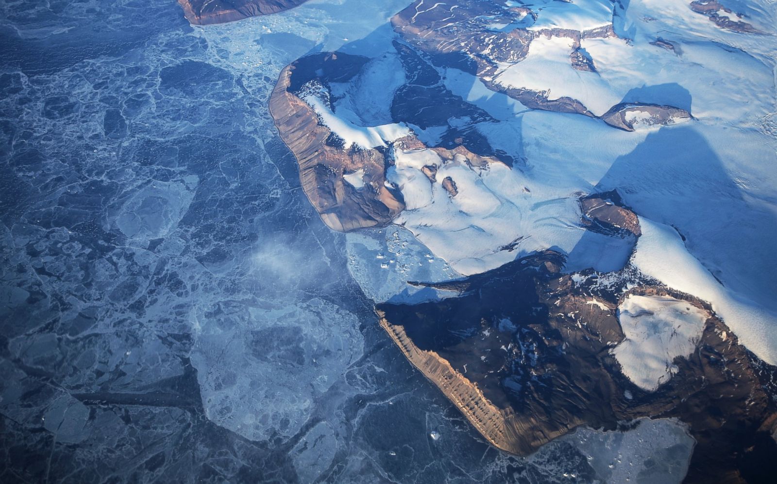
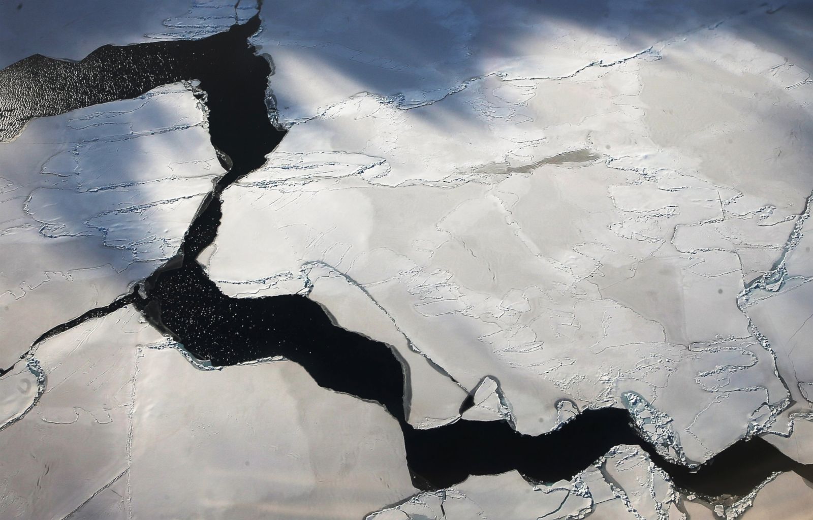
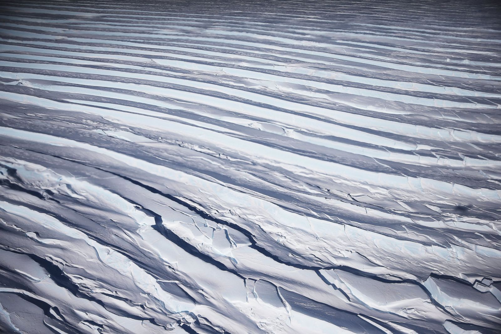
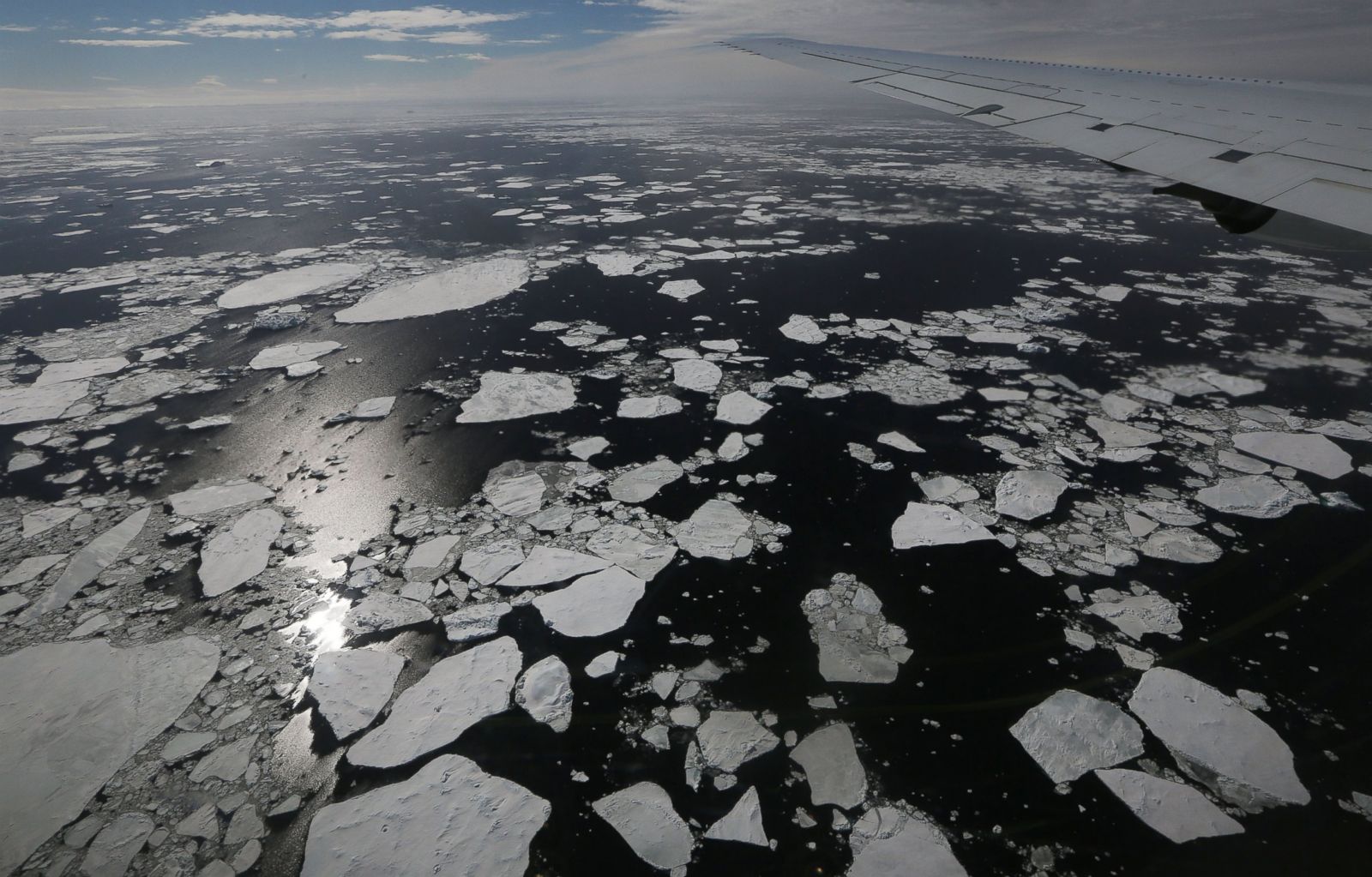
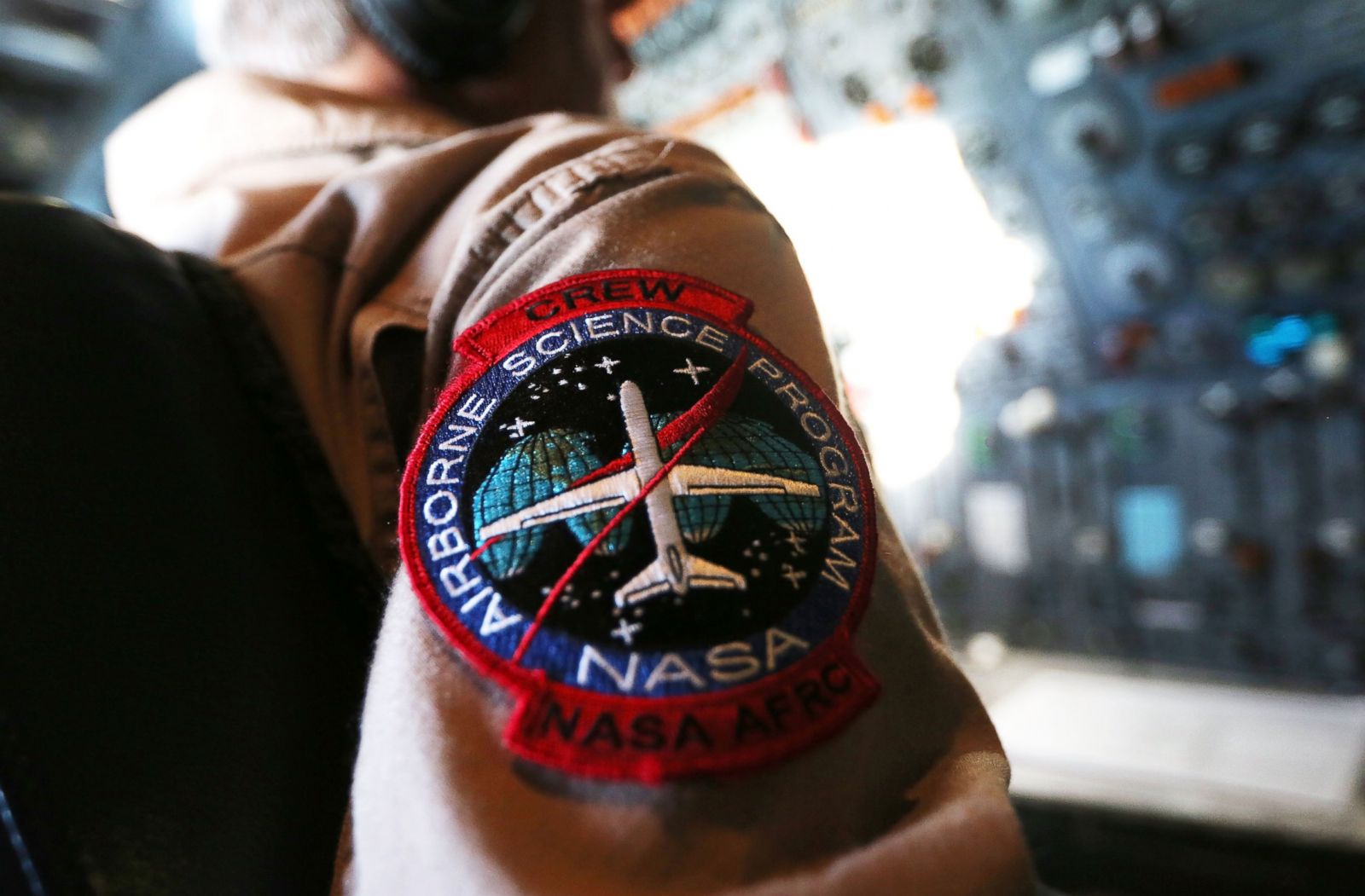
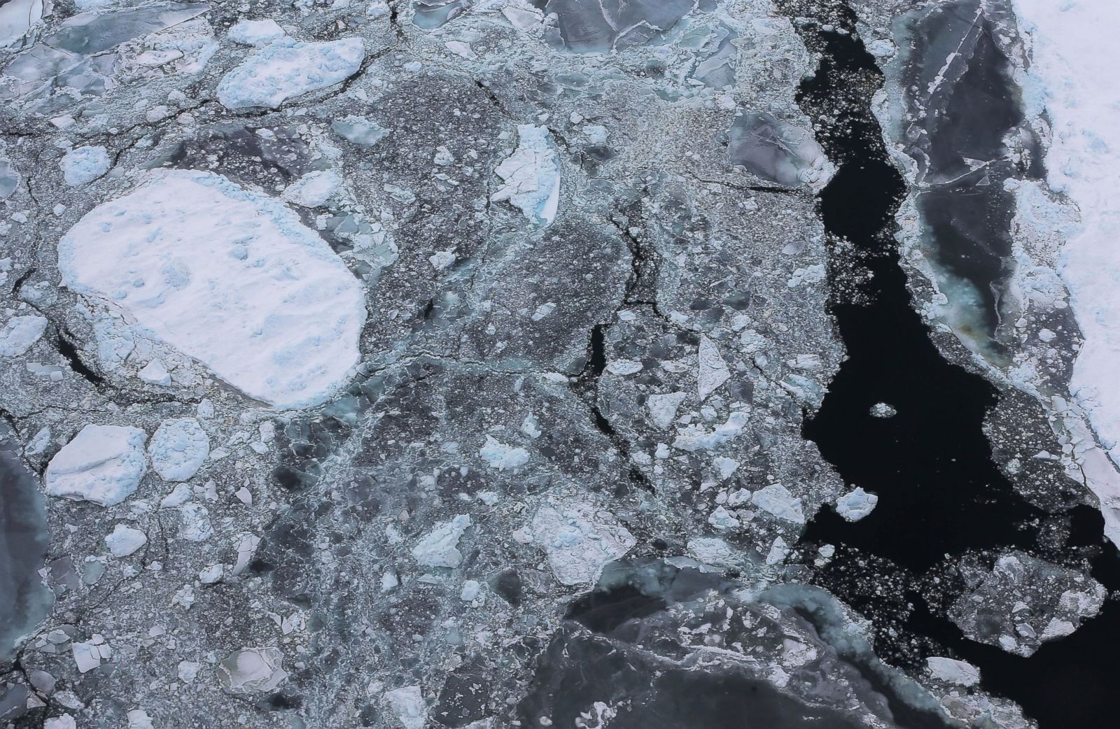
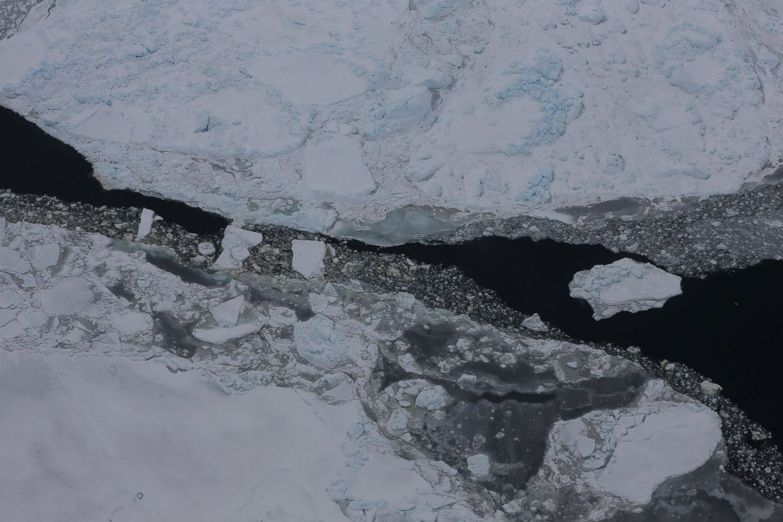
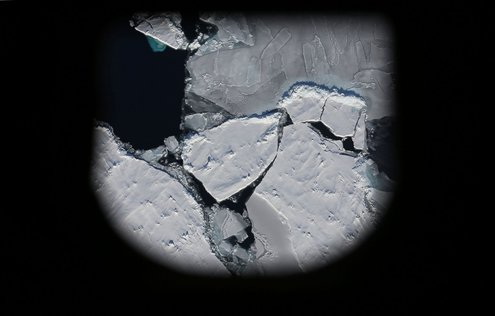
New aerial photos by Mario Tama of Getty Images who flew with NASA’s Operation IceBridge reveal the evolving landscape of Antarctica as the region begins to shift from the effects of climate change. The NASA operation is the largest survey of our planet’s polar ice ever conducted by air, giving a bird’s-eye view of the altering landscapes of the Antarctic ice sheets. Ice encroaches on Bransfield Island in this photo taken from the window of an Operation IceBridge craft on Oct. 27, 2016, during a flyover of Antarctica during the melt season.
