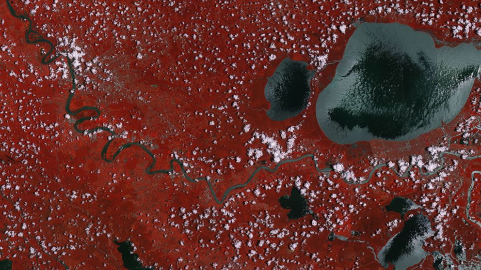
Mississippi Swamp Land as Seen From Space
A look at the river, bayous and vegetation like you've never seen before.

— -- Here's a vantage point of the Mississippi swamp land like you've never seen it before.
The European Space Agency shared a photo taken from its Sentinal 2-A satellite showing what the lush swamp land looks like from space.
The red color filling the photo is the vegetation in the area while the grey color represents bodies of water, including the snaking Mississippi River and its wildlife rich bayous, which are home to shellfish, catfish, frogs, alligators, crocodiles and other creatures.
The Sentinel 2-A has been hard at work since June 23 snapping images of vegetation, soil and water cover, inland waterways and coastal areas.
The satellite is used for scientists to monitor agriculture and chart changing lands over time.