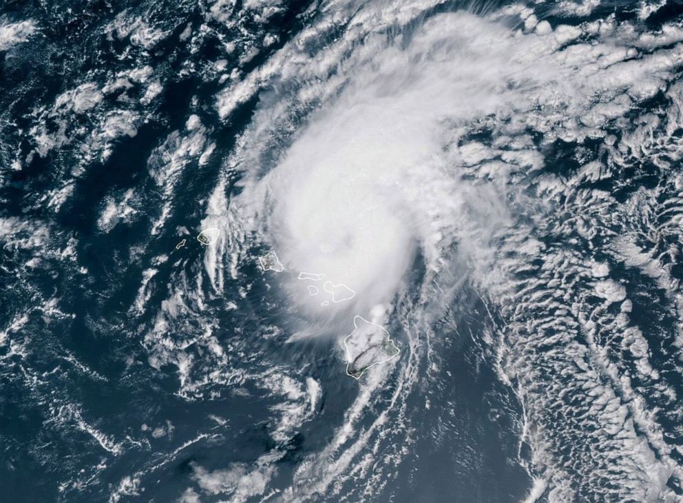
As Hawaii avoids direct hit from Douglas, a closer look at why Hawaii hurricanes are so rare
Only two hurricanes in recorded history have made landfall in Hawaii.
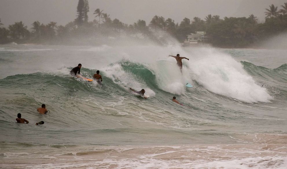
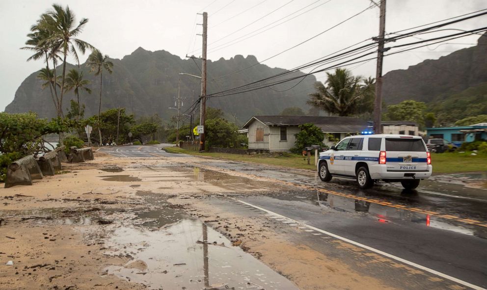
A rare hurricane warning was in effect for parts of Hawaii overnight as Hurricane Douglas passed dangerously close to the state.
The warning has since been canceled, but Douglas is still bringing Hawaii gusty winds, flooding rain and life-threatening surf.
Hurricanes don't make landfall in Hawaii or even make it to the Hawaii waters very often. Only two hurricanes in recorded history have made landfall in Hawaii: Hurricane Iniki in 1992 and Hurricane Dot in 1959.
Why are Hawaii hurricanes so rare? There are a few reasons.
One is that the Hawaiian islands take up such a small amount of space in the Pacific Ocean, Earth's biggest ocean.
The odds of a hurricane colliding with 10,931 square miles of islands in 6,246 million square miles of Pacific Ocean is very small.
Compare that to Florida, for example, which covers 65,755 square miles and is part of the eastern seaboard of North America, which in itself offers an even larger, vastly easier-to-hit target for Atlantic Hurricanes.
Second, there's a strong, subtropical, high-pressure build to the north of Hawaii during the central Pacific hurricane season. That sends drier, more stable air into the hurricane path, inhibiting thunderstorms from persisting and staying clustered near the cyclone's center.
Also, the wind shear -- the change in wind speed and/or direction with height -- is typically stronger near Hawaii, acting to displace thunderstorms from the cyclone's center.
Finally, cooler sea-surface temperatures in the Pacific Ocean east of Hawaii keep the air somewhat cooler above the water. This increases the stability of the atmosphere, making it less susceptible to forming and maintaining thunderstorms.
Favorable ocean water temperature for a hurricane to strengthen is 79 degrees or higher. The water east of Hawaii is usually in the lower to mid 70s.
ABC News' Emily Shapiro contributed to this report.
Related Topics

Top Stories
ABC News Live