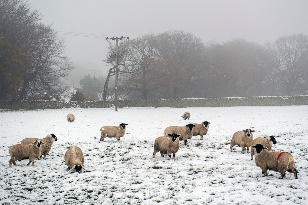
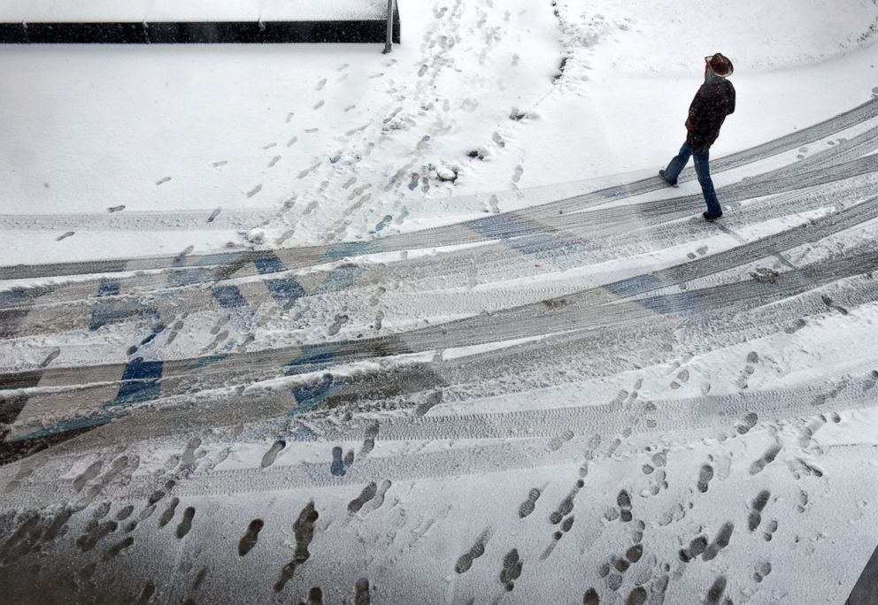
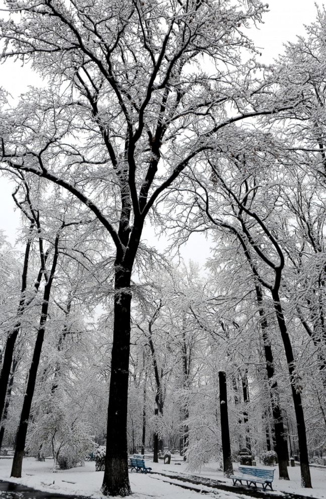
Arctic Blast, Heavy Snow Sweep Across Midwest, Northeast
Some parts of upstate New York have already seen more than 20 inches of snow.
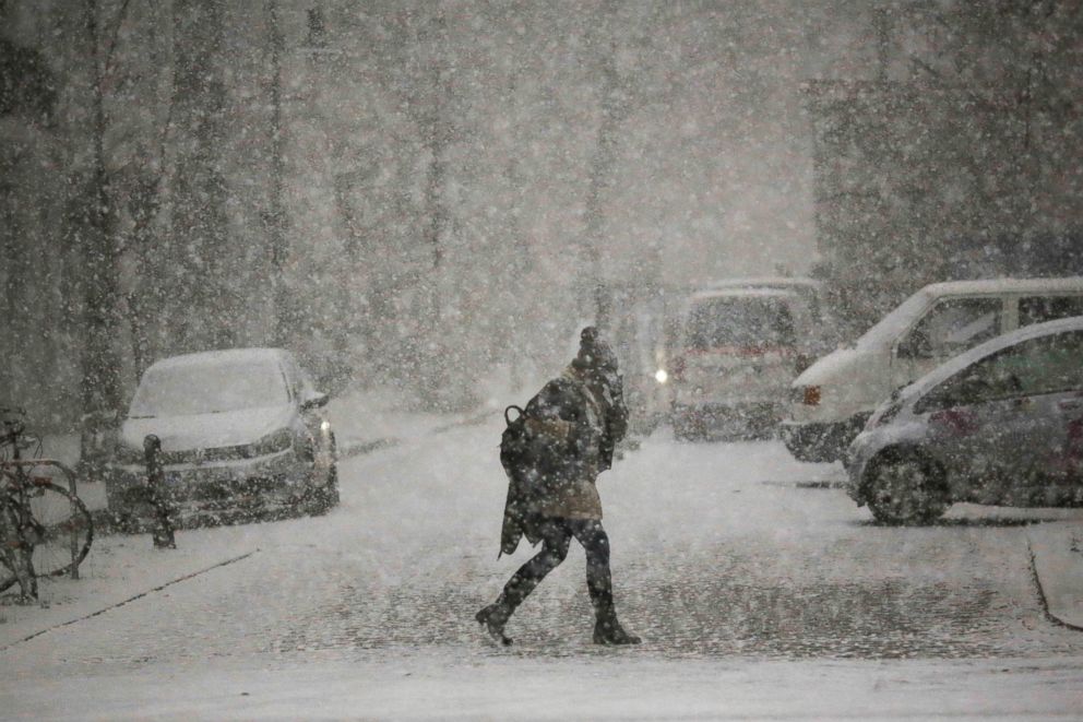
— -- Frigid cold and heavy snow are hitting parts of the upper Midwest and the interior Northeast this weekend, forecasters said.
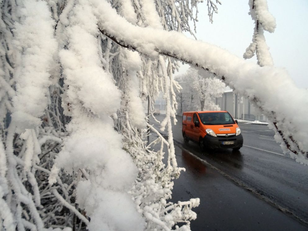
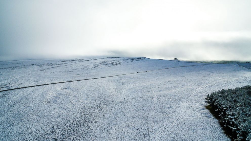
Some areas of upstate New York have gotten more than 20 inches of lake effect snow since Thursday and are expecting more, according to the National Weather Service in Buffalo.
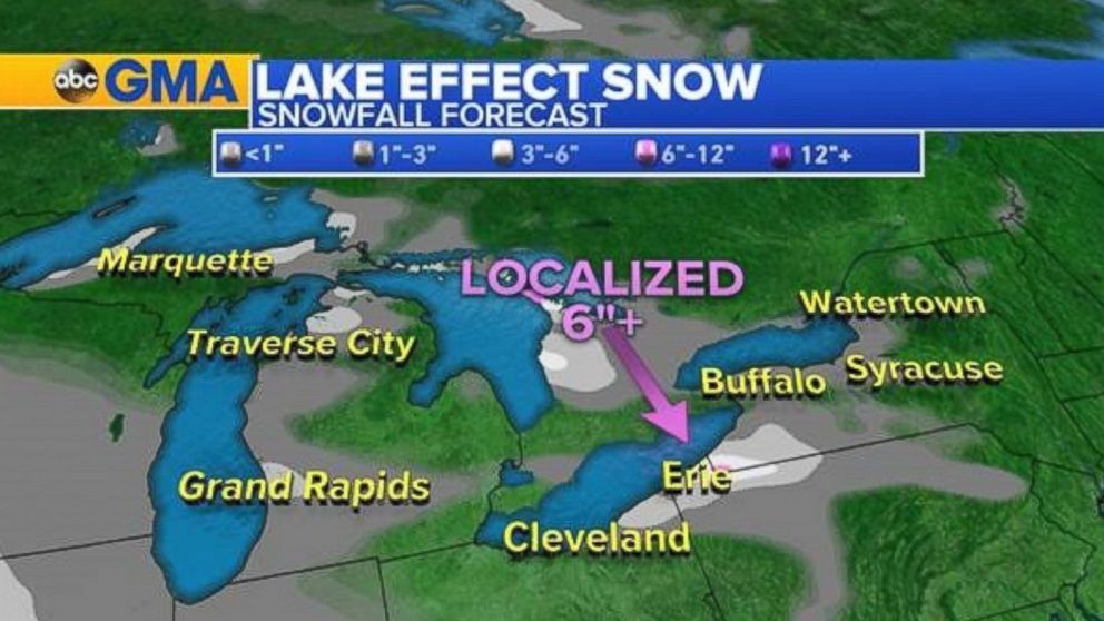
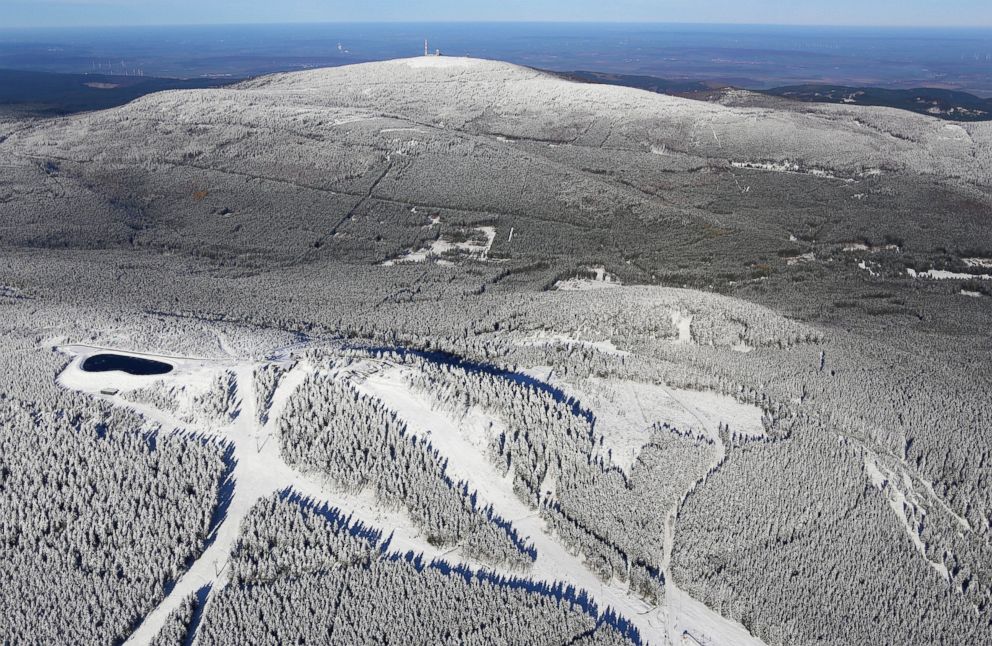
Forecasters said heavy bands of lake-effect snow will continue to sweep across western Michigan, northern Ohio, northwest Pennsylvania and western New York through Saturday, with snowfall rates expected of up to 2 inches per hour expected.
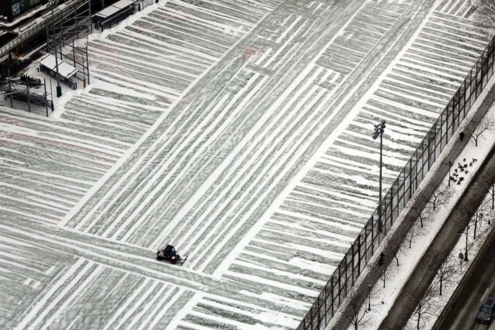
Snow is currently piling up in areas from from Cleveland, Ohio, to Jamestown, New York, with the heaviest accumulations expected in the far northwest regions of Pennsylvania and western New York, according to ABC News senior meteorologist Daniel Manzo.
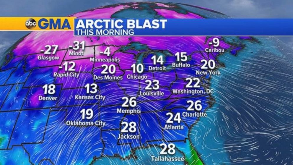
Numerous winter-related advisories are warning of blizzard-like conditions and brutal temperatures in the northern half of the U.S. as various weather systems move through the continental United States this weekend. The wind chill values, or feels like temperatures, could drop as low as minus 35 degrees Fahrenheit in the northern Plains, according to Manzo.
“This will cause frostbite in as little as 30 minutes,” he said.
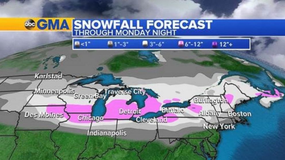
As a storm moves eastward, heavy snow is expected to pound parts of New England from late Sunday into early Monday before warmer air filters through and turns the snow into rain. Forecasters are warning that commuters may face travel delays Monday morning due to slick and slushy roads.
“We expect the most significant delays north and west of the major cities,” Manzo said.
Winter Wonderland


Related Topics

Popular Reads
ABC News Live