California storms wreak havoc: How an elongated jet stream is driving the deadly weather
The storms have claimed 17 lives and left millions under a flood watch.
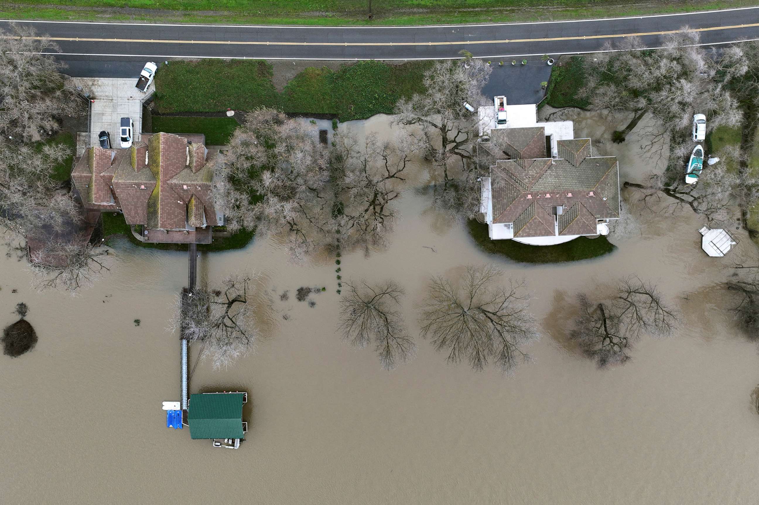
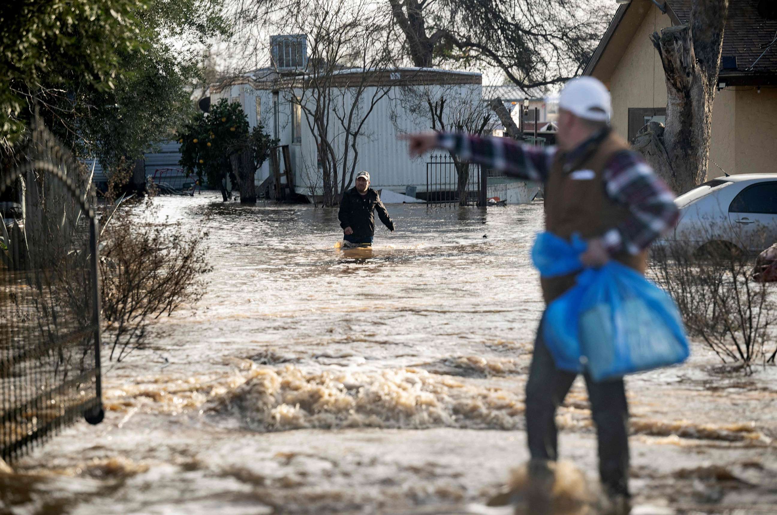
California's deadly storms have devastated the state in recent weeks, claiming at least 17 lives and leaving tens of millions under a flood watch.
Since Christmas, parts of the state have received up to three feet of rain and more than 10 feet of snow.
Over the last month, the Sierra Nevada mountains have reached the average amount of snow they receive in a year. This is the most snow the area has seen in such a short period of time since the winter of 1982-83.
So, what is causing this historic precipitation?
Elongated jet stream
Blame an extremely elongated jet stream over the Pacific Ocean, stretching from southeast Asia around Thailand and reaching all the way to California.
A jet stream is a column of air blowing at 100 to 250 mph in the upper atmosphere, 4 to 8 miles above the earth's surface.
The jet stream helps with development and transport of storm systems and water vapor across the globe.
This jet stream has been positioned in such a way for the last 3 weeks.
"The Pacific Jet is unusually far south this winter, instead of being between 40 to 50 degrees latitude it is between 30 to 40 degrees latitude," said Alex Tardy, a coordinating meteorologist at the San Diego National Weather Service.
In addition, currently the water temperature is 1-2 degrees Fahrenheit above normal just north of Hawaii. This means there is more latent heat release from the ocean, more water evaporation.
As the jet stream passes over this warmer water, it picks up those extra water molecules and carries them toward the U.S. west coast, possibly helping to produce extra rainfall, explained Daniel Swain, a climate scientist at University of California, Los Angeles.
Impact on precipitation
Due to warming climate, warmer atmosphere is able to hold more water vapor (moisture). The more water vapor there is in the atmosphere, the heavier precipitation can get when it falls on earth in the form of rain or snow.
In fact, "global water vapor has increased in extreme precipitation events by 10%, doubling the frequency of likelihood of one in a century flood to happen every 50 years," said Swain.
Related Topics

Popular Reads
ABC News Live