Tropical Storm Isaias nears Florida before heading for the Carolinas
Isaias may bring six inches of rain to parts of Florida and the Carolinas.
Tropical storm watches and warnings stretch from Florida to parts of the southern New England coast as Tropical Storm Isaias makes its way toward the Florida coast.
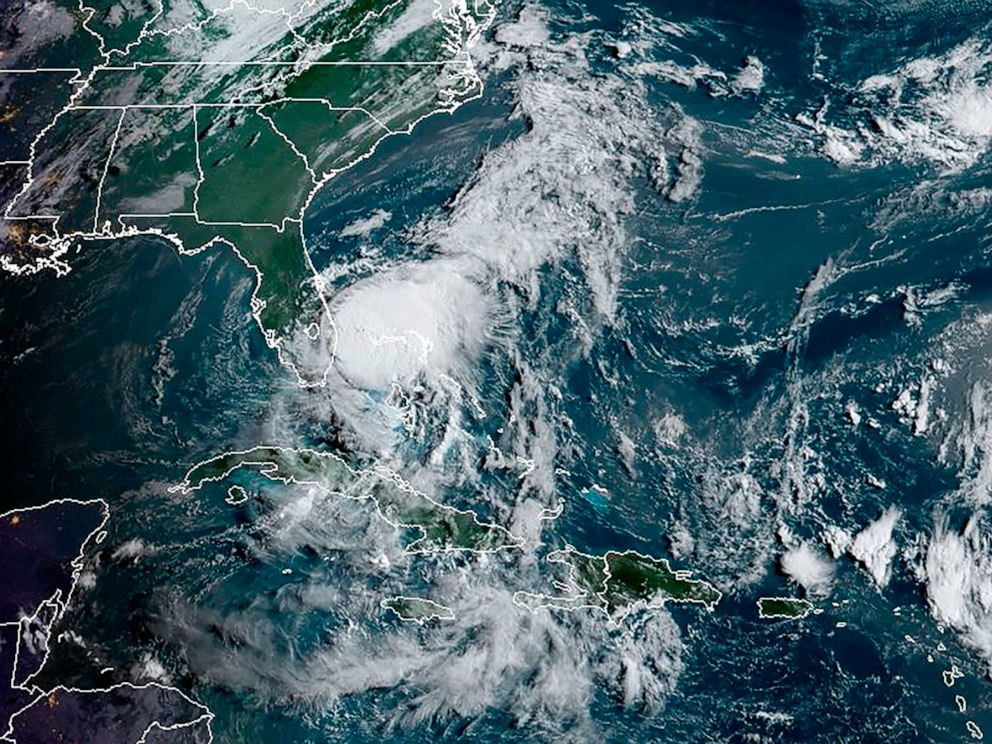
The storm, in Atlantic waters and moving north-northwest, is expected to make its way up the East Coast after bringing downpours and gusty winds to the Florida Peninsula.
As of late Sunday night Isaias was about 50 miles east of Cape Canaveral and about 365 miles from Myrtle Beach, South Carolina.
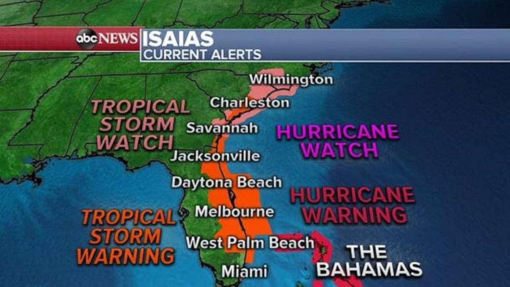
Isaias is expected to move arrive just off the northeast coast of Florida by Monday morning.
It could unleash six inches of rain on parts of eastern Florida, with a storm surge of 1-4 feet.
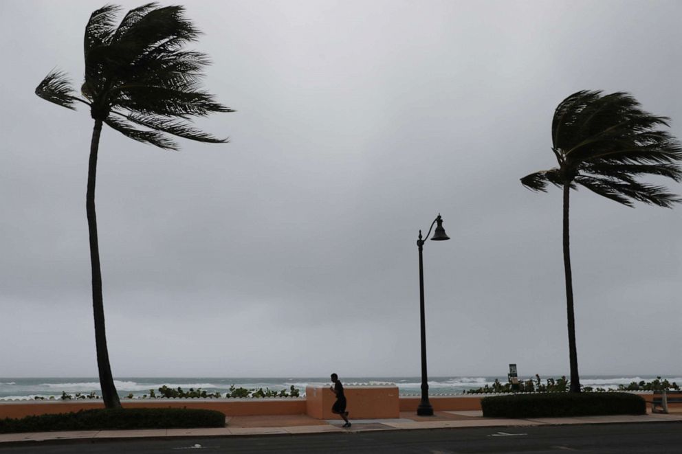
In St. Lucie County, officials on Sunday urged residents to avoid the beaches for several days due to rough surf and rip currents. Officials said they're also concerned about power outages.
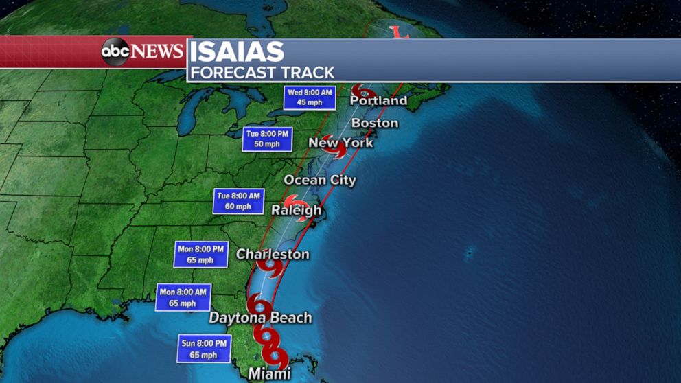
The storm will then pick up speed as it races up the East Coast.
It is expected to strengthen, possibly becoming a low-end Category 1 hurricane, before hitting the Carolinas. A hurricane watch has been issued along parts of the South Carolina and North Carolina coastline. Into Monday night, the Carolinas may see up to six inches of rain.
North Carolina Gov. Roy Cooper said he's activated up to 150 National Guard soldiers to help with the storm.
"The forecast has the storm moving quickly, which we hope means the rain and wind won't last as long," he tweeted Sunday afternoon. "But a lot of rain is expected to fall at once, so be on alert for flash flooding and river flooding."
Widespread power outages should be expected, the governor added.
Isaias will gradually weaken as it moves north.
Throughout Tuesday, Isaias will bring heavy rain to much of the Northeast, from Washington, D.C., to Philadelphia and New York City, and eventually to parts of New England.
Parts of the mid-Atlantic could see 4-6 inches of rain, likely triggering flash flooding.
Popular Reads
ABC News Live
