Winter storm marching across the country, moving into Northeast late Wednesday into Thursday
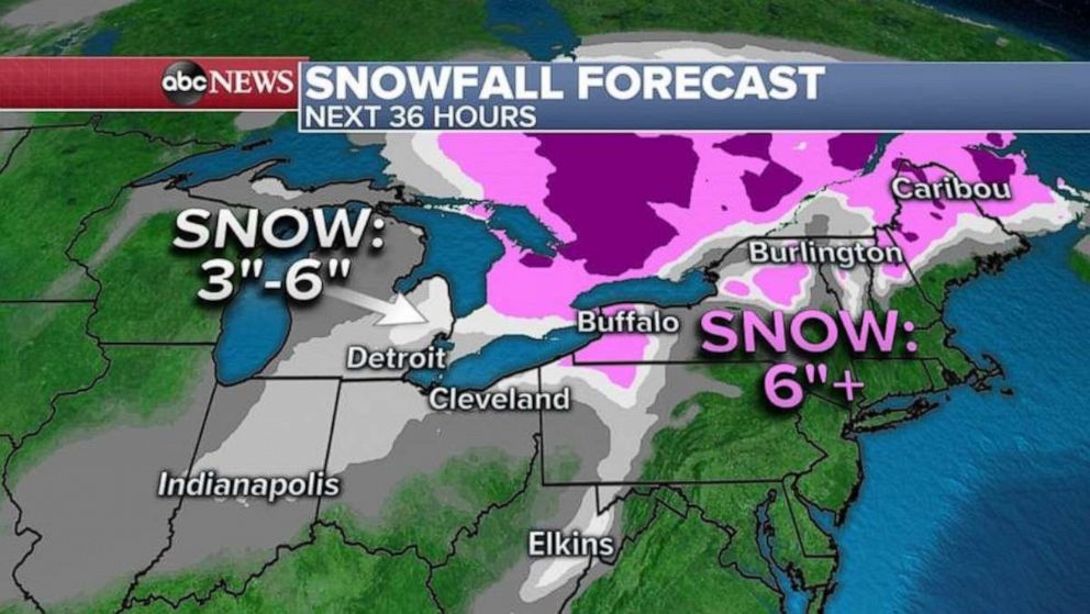
Snowfall totals will be the greatest from Michigan to western New York.
As a winter storm moves across the country, more than 2 feet of snow fell in western South Dakota, and more than a foot in central Kansas.
Just a few inches so far have accumulated in Detroit and up to 1 inch fell in Chicago, but more is on the way as the storm moves into the Northeast.
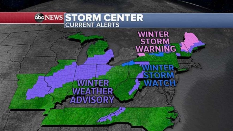
From Missouri to Maine, 13 states are on alert for heavy snow Wednesday.

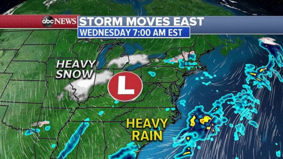
Wednesday morning, the center of the winter storm is moving through the Ohio Valley and eastern Great Lakes with snow on the western and northern side from the Plains to New England.
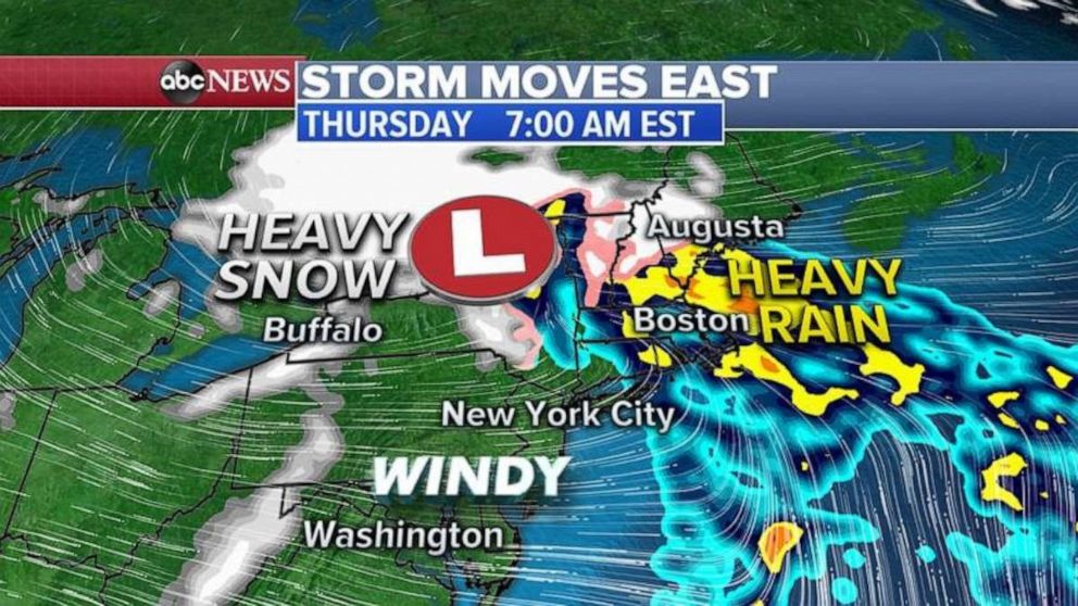
The storm system will move into the Northeast Wednesday evening with heavy rain moving up the I-95 corridor from Washington D.C. to New York City and Boston by Thursday morning.

On the cold side of this storm, snow will continue all day Wednesday in Michigan, including Detroit, and also in parts of Indiana and Ohio.
There could even be a few snowflakes mixed in with rain as far south as Tennessee and also in North Carolina.
By Thursday morning, the storm slowly moves through the Northeast, bringing very heavy rain to eastern New England with snow further inland from western New York into Vermont, New Hampshire and Maine.

Also, gusty winds are forecast behind the storm from Washington D.C. to Philadelphia and New York City Thursday. Those cities could see some delays at the major hubs due to gusty winds.
Snowfall totals will be the greatest from Michigan to western New York and into northern New England, where 6 to 12 inches of snow is possible.

In western New York, behind the storm, as the cold wind moves over the unfrozen Great Lakes, lake effect snow could produce additional 1 to 2 feet of snow.


