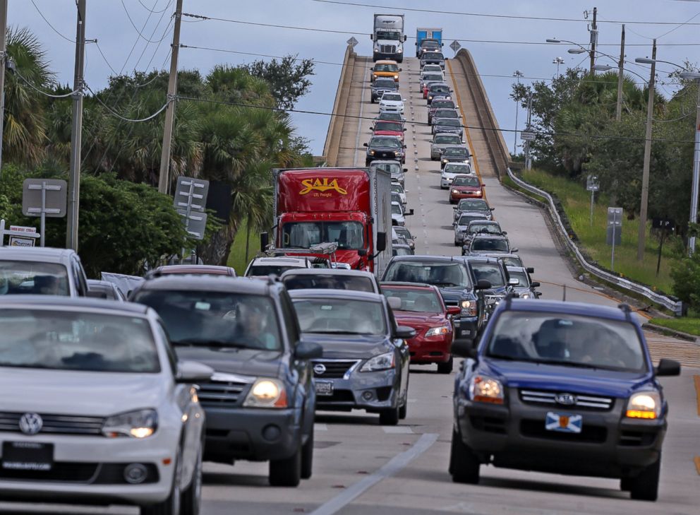
Hurricane Matthew Timeline: How the Storm is Expected to Impact the US
Forecast models predict wind speeds could increase before reaching Florida.
— -- The latest forecast models predict that Hurricane Matthew, which ripped through the Caribbean, leaving a trail of devastation, will grow even stronger as it heads for the U.S.
The storm is expected to strengthen slightly and make landfall in Florida as a Category 4 hurricane with maximum sustained winds of up to 145 mph, ABC News meteorologist Max Golembo said.
Warm waters off the Florida coast, little atmospheric shear and no interaction with landmass provide the ideal conditions for the storm to become more powerful as it approaches the U.S., according to Golembo.
Just this morning, Matthew grew stronger, with winds intensifying from 125 mph as of 8 a.m. today to 140 mph by 11 a.m.
Matthew is forecast to move towards the central Atlantic coast of Florida tonight and into Friday morning, according to the National Weather Service, bringing "life-threatening" weather conditions.
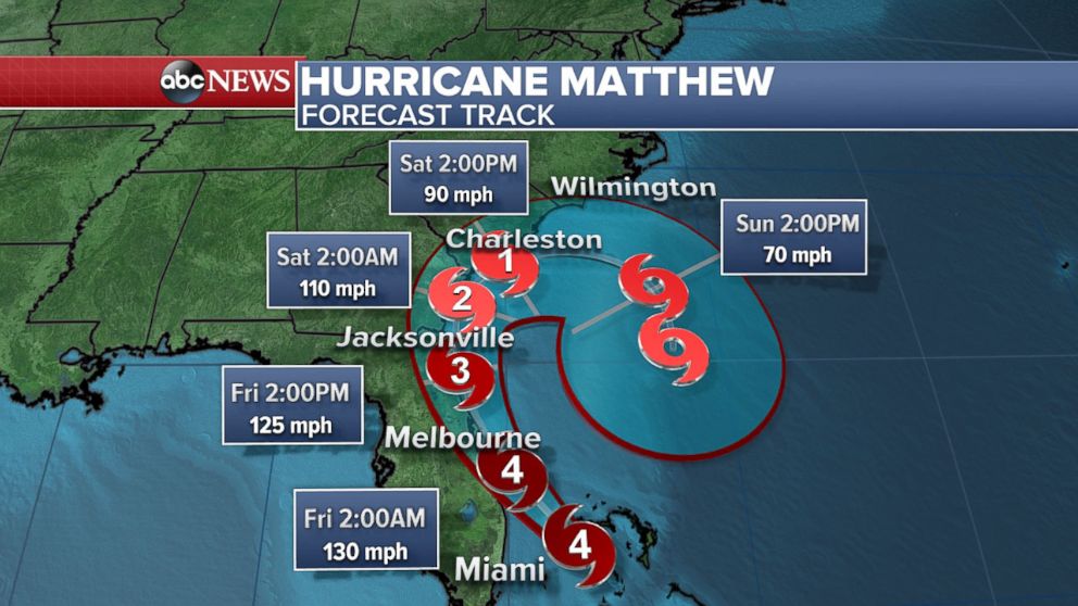
Friday 2 a.m. ET
Forecasters predict the Matthew will make landfall just north of West Palm Beach on Friday at around 2 a.m. ET.
It is expected to remain a Category 4 hurricane all the way into the Jacksonville area.
Friday 2 p.m. ET
The storm is expected to weaken slightly, with 125 mph winds by Friday afternoon.
Throughout the day on Friday, the storm is expected to remain close to the coastline of northern Florida or southern Georgia.
The hurricane is then predicted to move northward, still hugging the coast, towards Georgia and South Carolina on Friday night.
Tropical storm conditions are expected on Friday in Georgia and South Carolina, according to the National Hurricane Center.
Saturday 2 a.m. ET
By Saturday, the storm is predicted to be just off the coast of Georgia and weaken, with winds of 110 mph, according to forecasters.
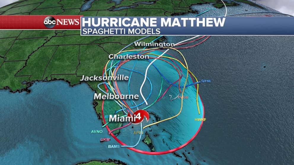
Most forecast models keep the eye of the storm just off of the coast, which will keep the intensity of the hurricane up, according to Golembo.
The good news is that the strongest part of the storm is usually in the upper right quadrant, Golembo added, and this portion will remain off the coast and not affect land, according to the latest models.
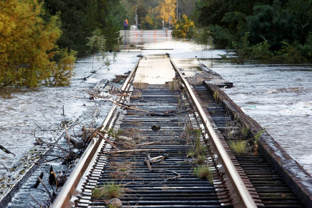
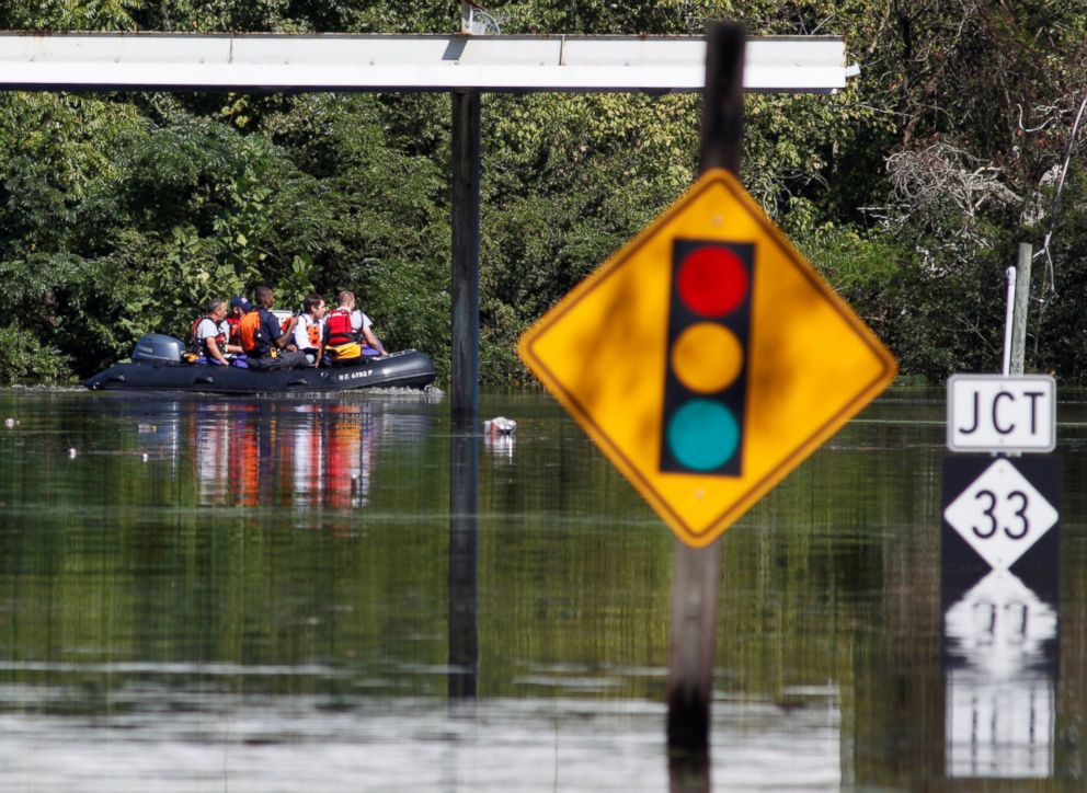
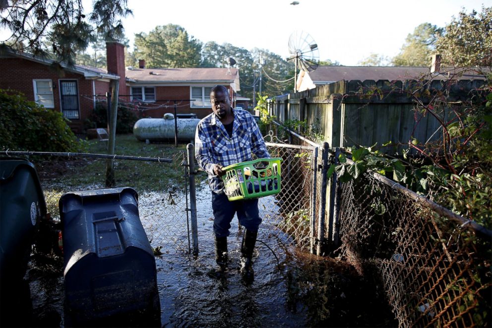
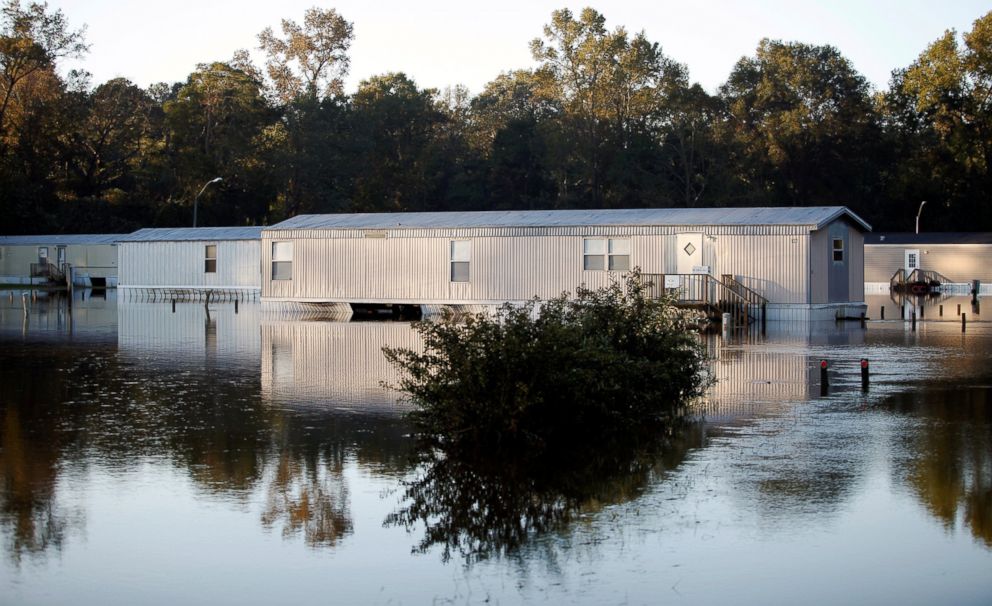
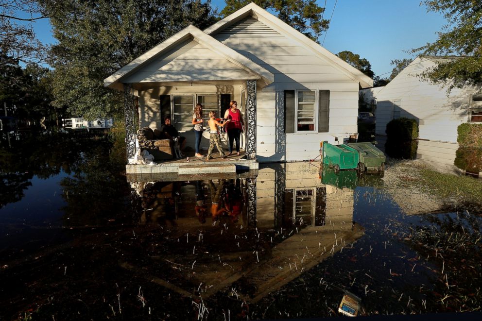
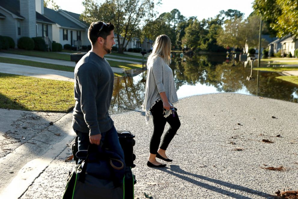
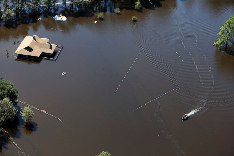
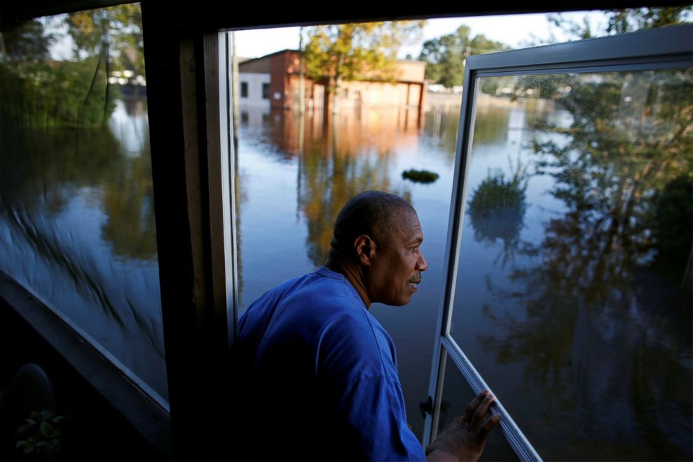
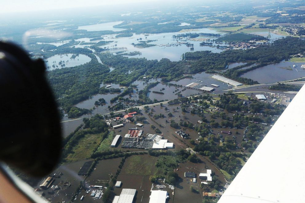
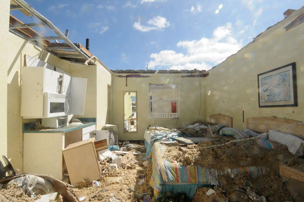
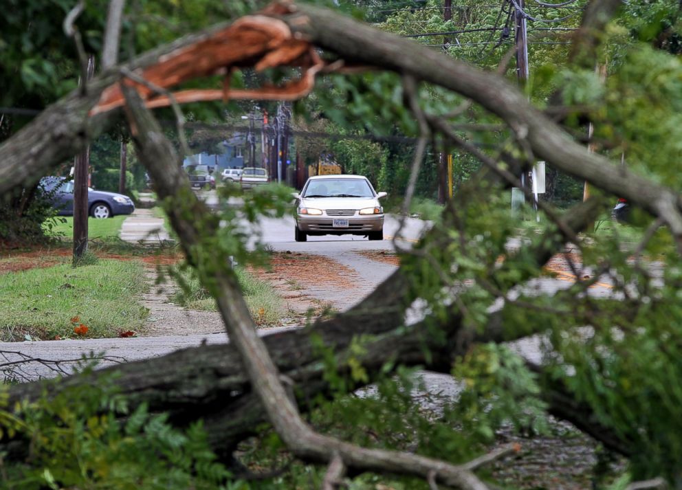
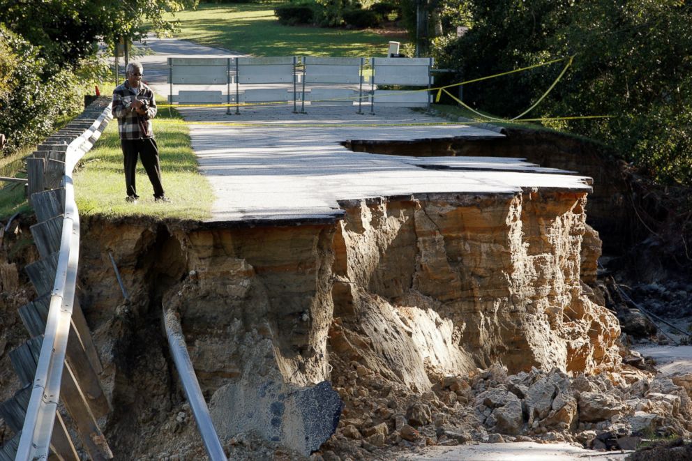
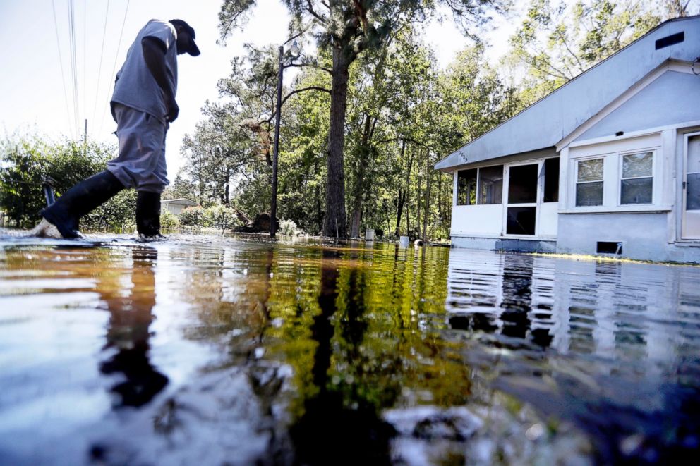
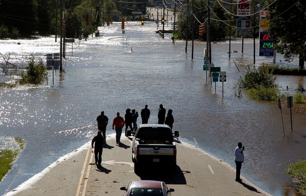
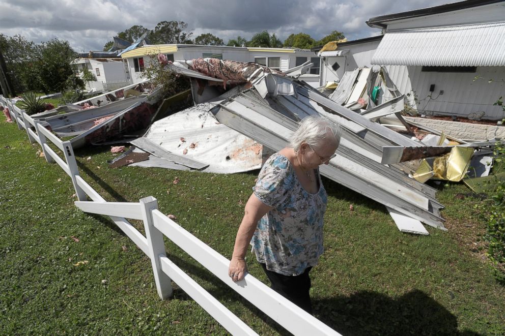
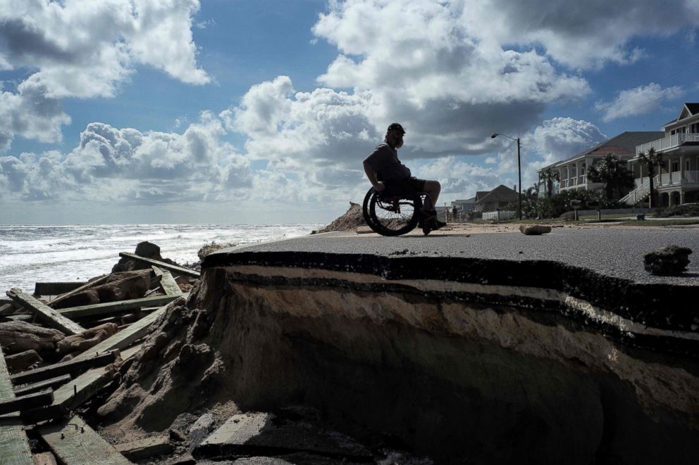
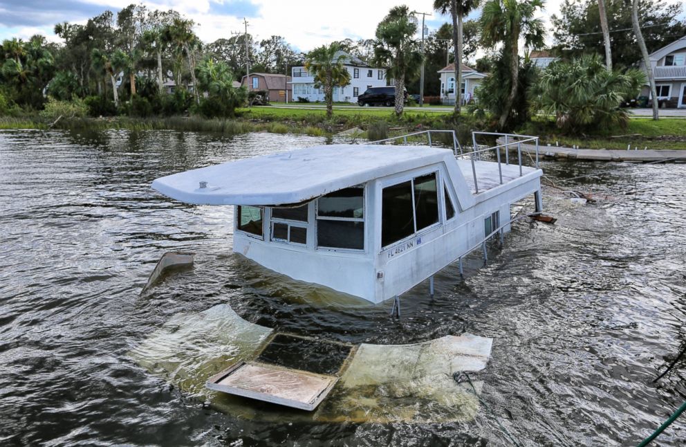
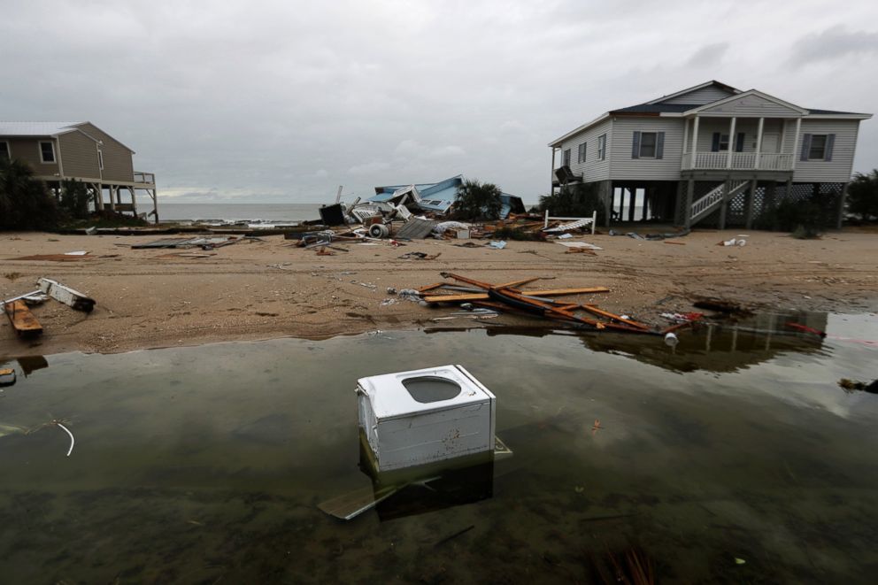
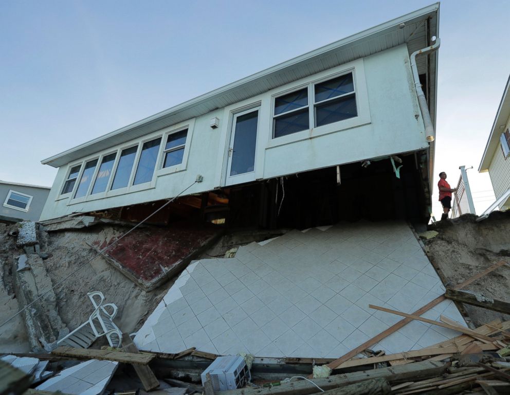
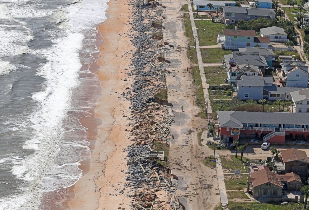
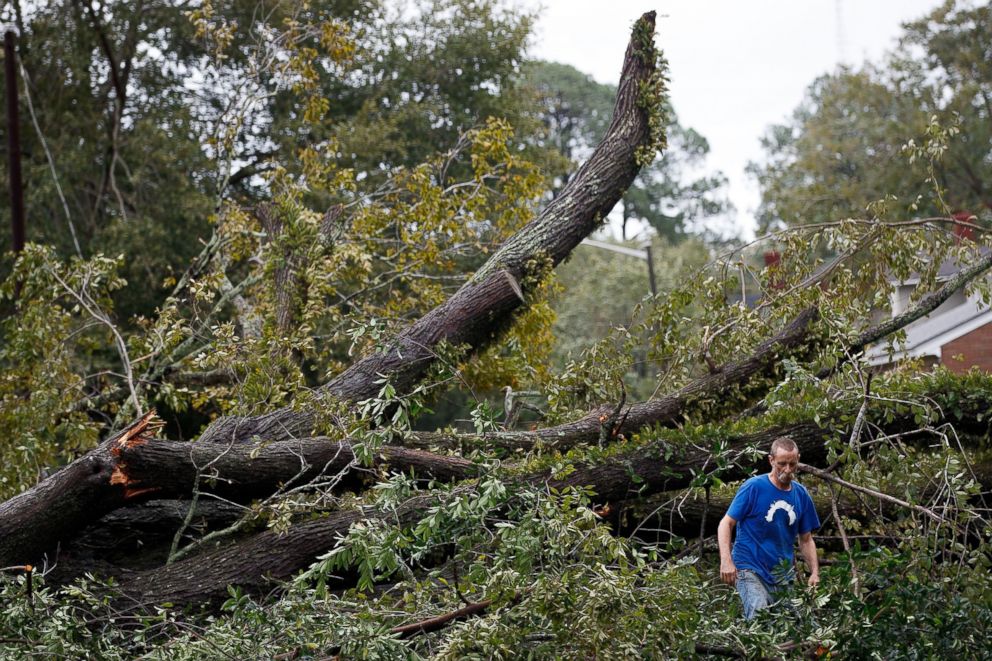
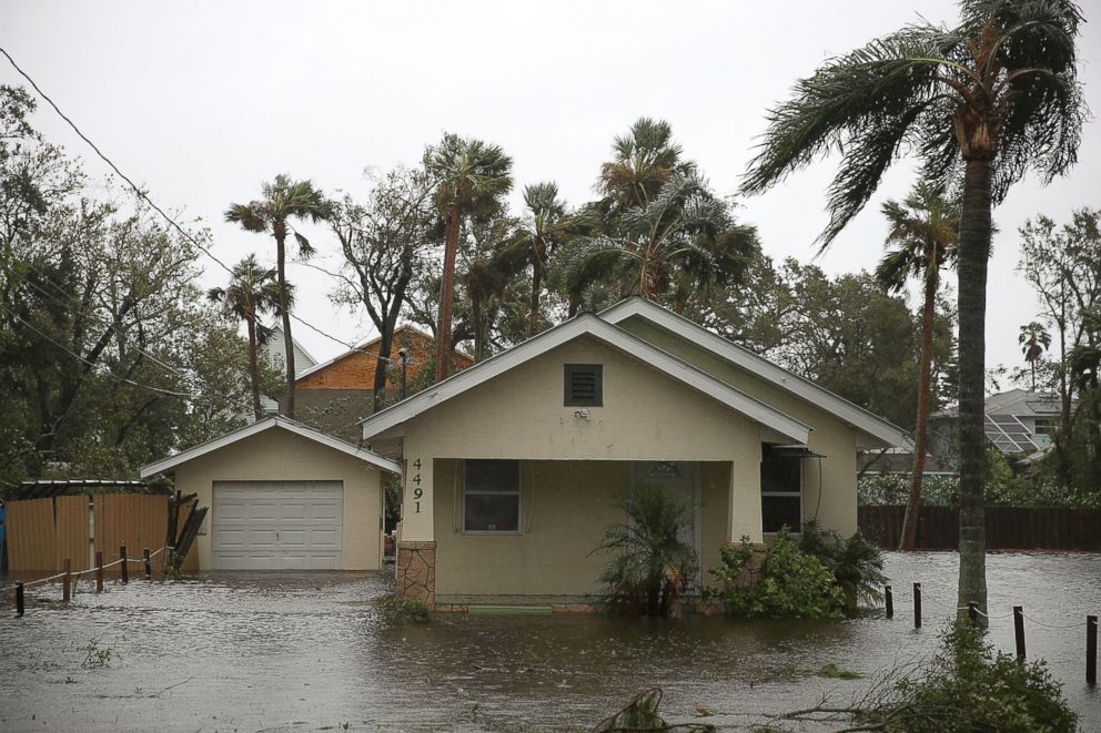
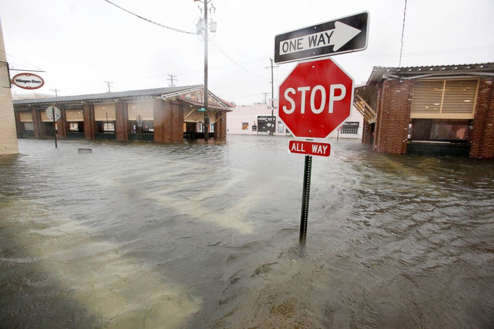
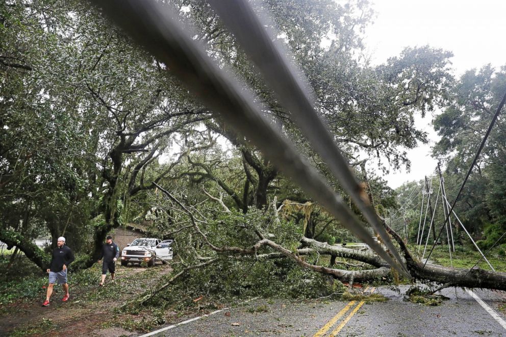
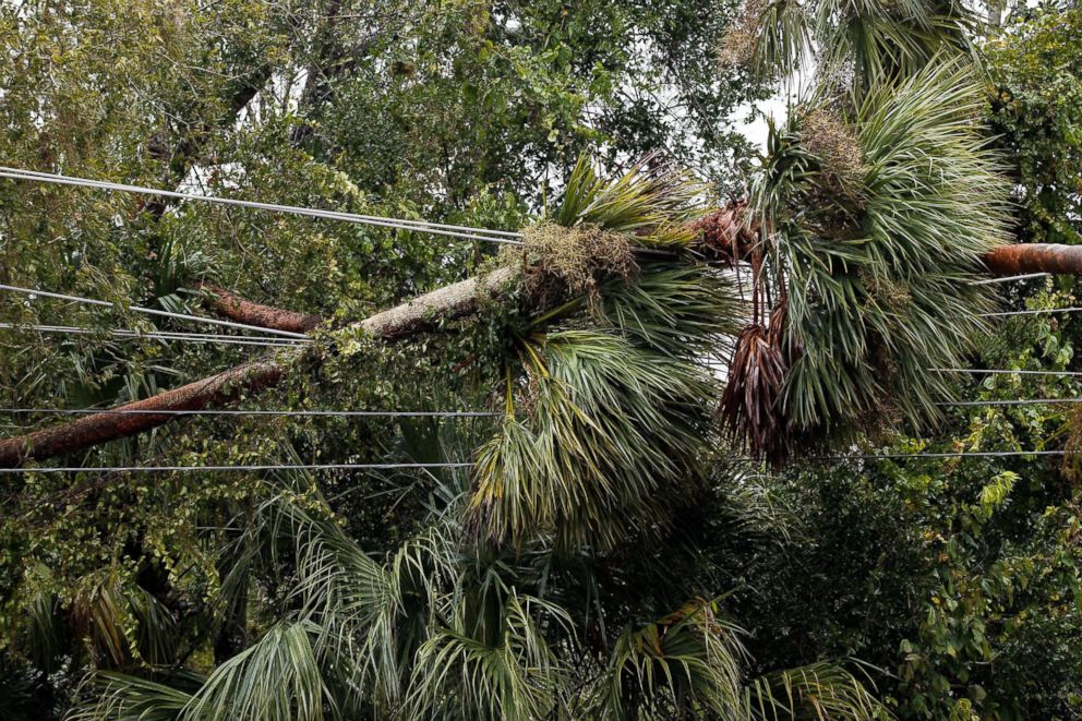
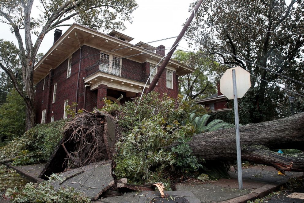
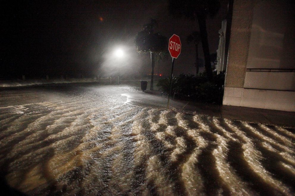
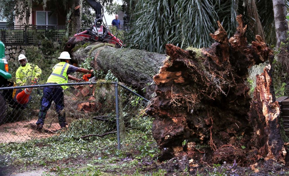
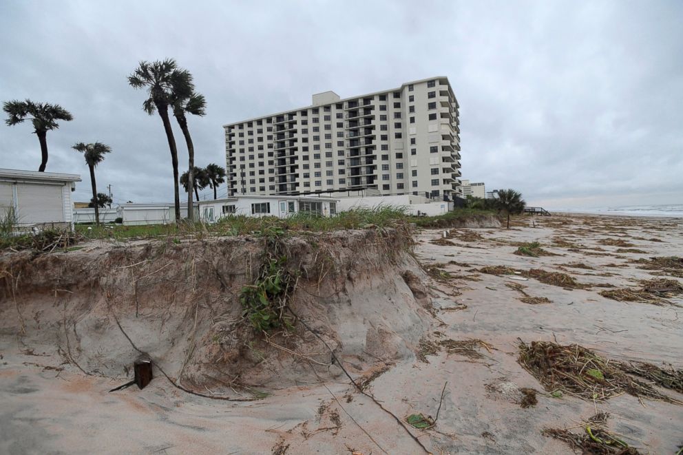
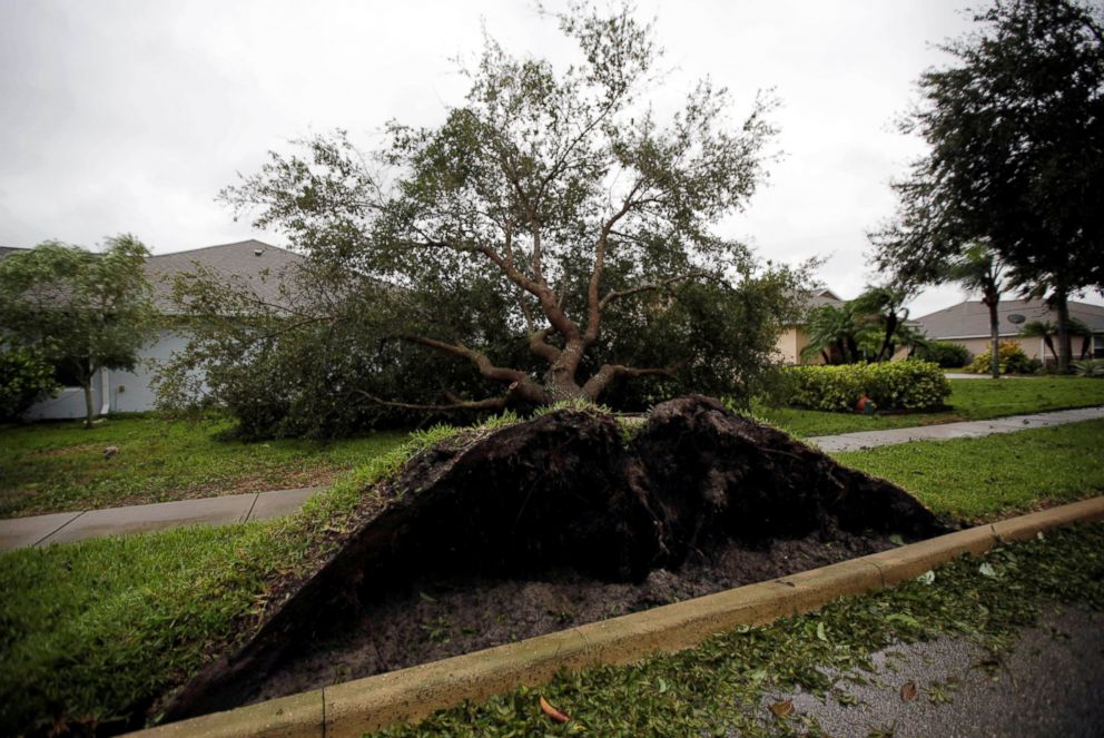
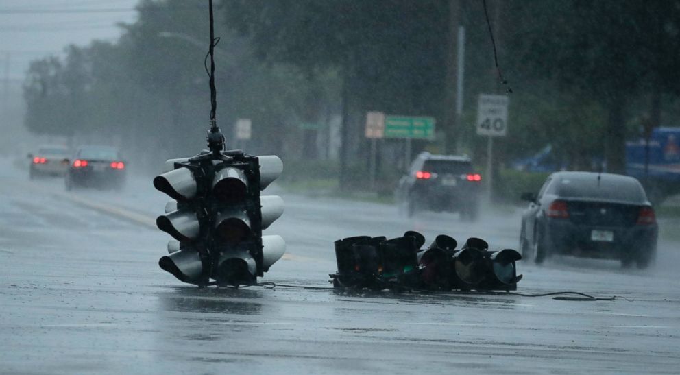
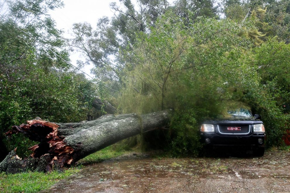
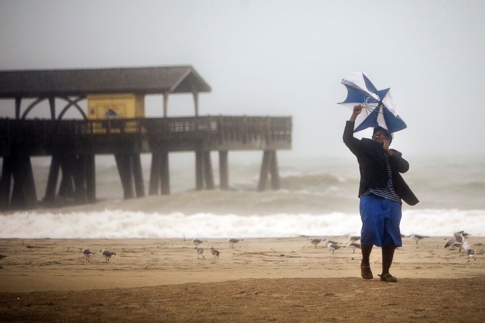
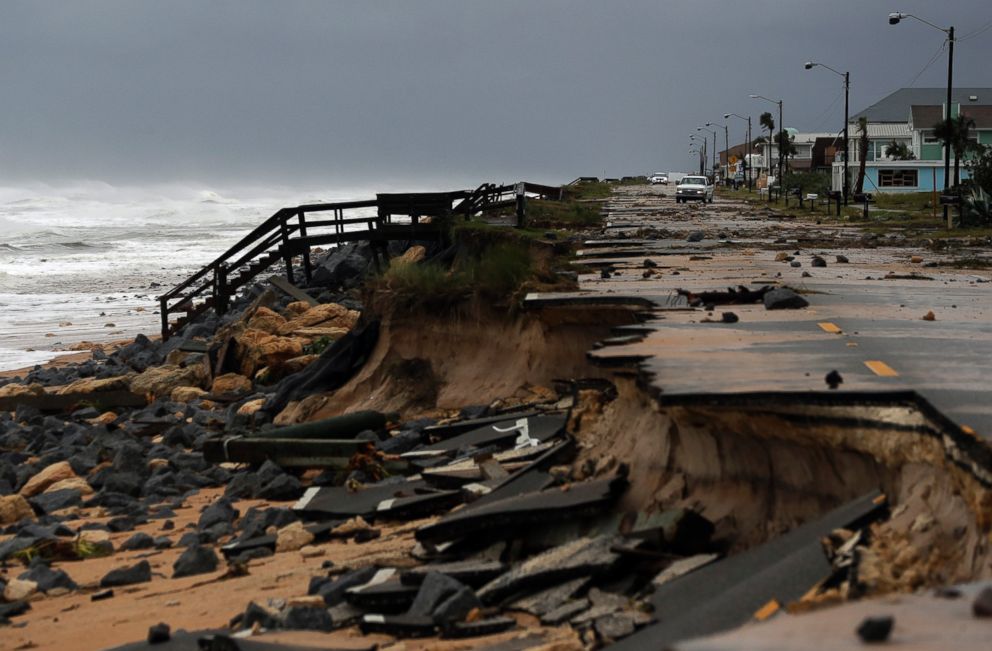
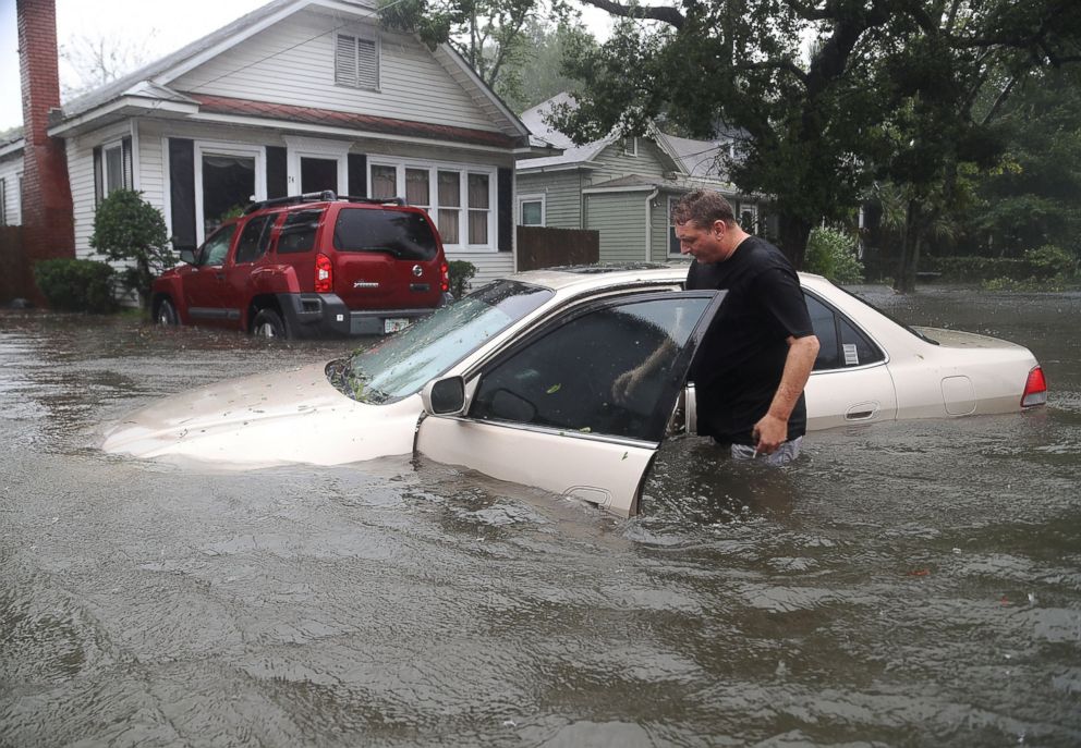
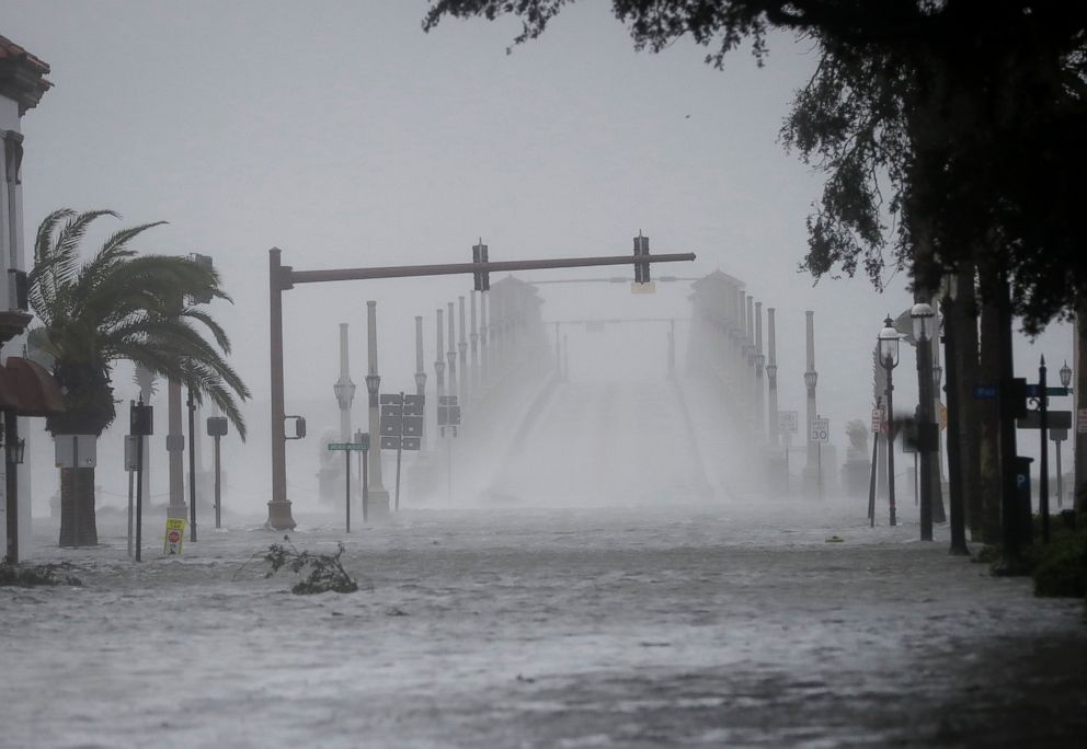
Hurricane Matthew Leaves Flooding and Destruction in its Wake

Saturday 2 p.m. ET
By Saturday afternoon, the storm should weaken further to have 90 mph winds and reach the coast of South Carolina.
Sunday 2 p.m. ET
The storm is eventually predicted to slow down and make a turn back south, with about 70 mph winds, and then southwest towards the Bahamas and maybe even Florida. But forecasters predict it to be much weaker and slower-moving as it moves over the same water.
Matthew will most likely not affect the Northeast, after moving parallel to the Southeastern coast, according to forecast models.
