Fourth nor'easter this month could hit Northeast next week
The storm could hit the Northeast just as spring is about to begin.
Spring is finally here next week -- but Mother Nature may not be done battering the Northeast with rain, snow and wind.
Another nor'easter -- the fourth storm this month -- could slam into the region just as the season is about to change.
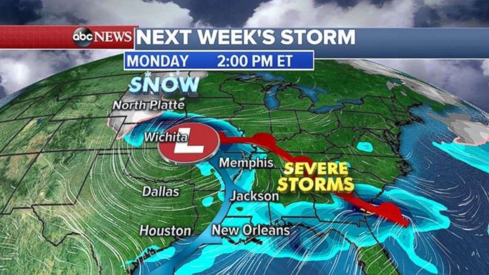
The storm is moving slowly from the Rockies and could bring severe weather to the central and southern U.S. on Monday.

That could mean more snow for the northern Plains.
By Wednesday or Thursday, the Interstate-95 corridor could see the worst of the storm.
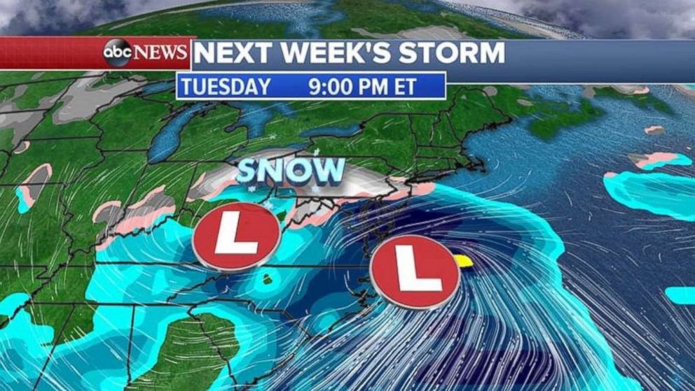
Two weather models have the storm system barrelling north on different tracks.
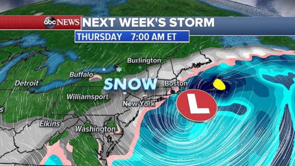
A European forecast says heavy snow is possible more inland from West Virginia to upstate New York, while the American model says the storm will be more coastal -- and slamming into New Jersey, Long Island and perhaps New York City.
If the latter model proves true, Washington, D.C., will be mostly spared.
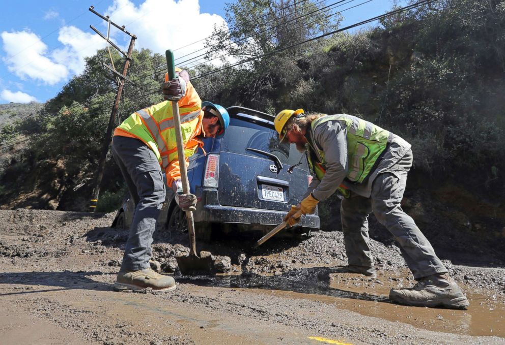
Meanwhile, a mudslide in Malibu, California, Thursday morning closed down a road, potentially for several more days.
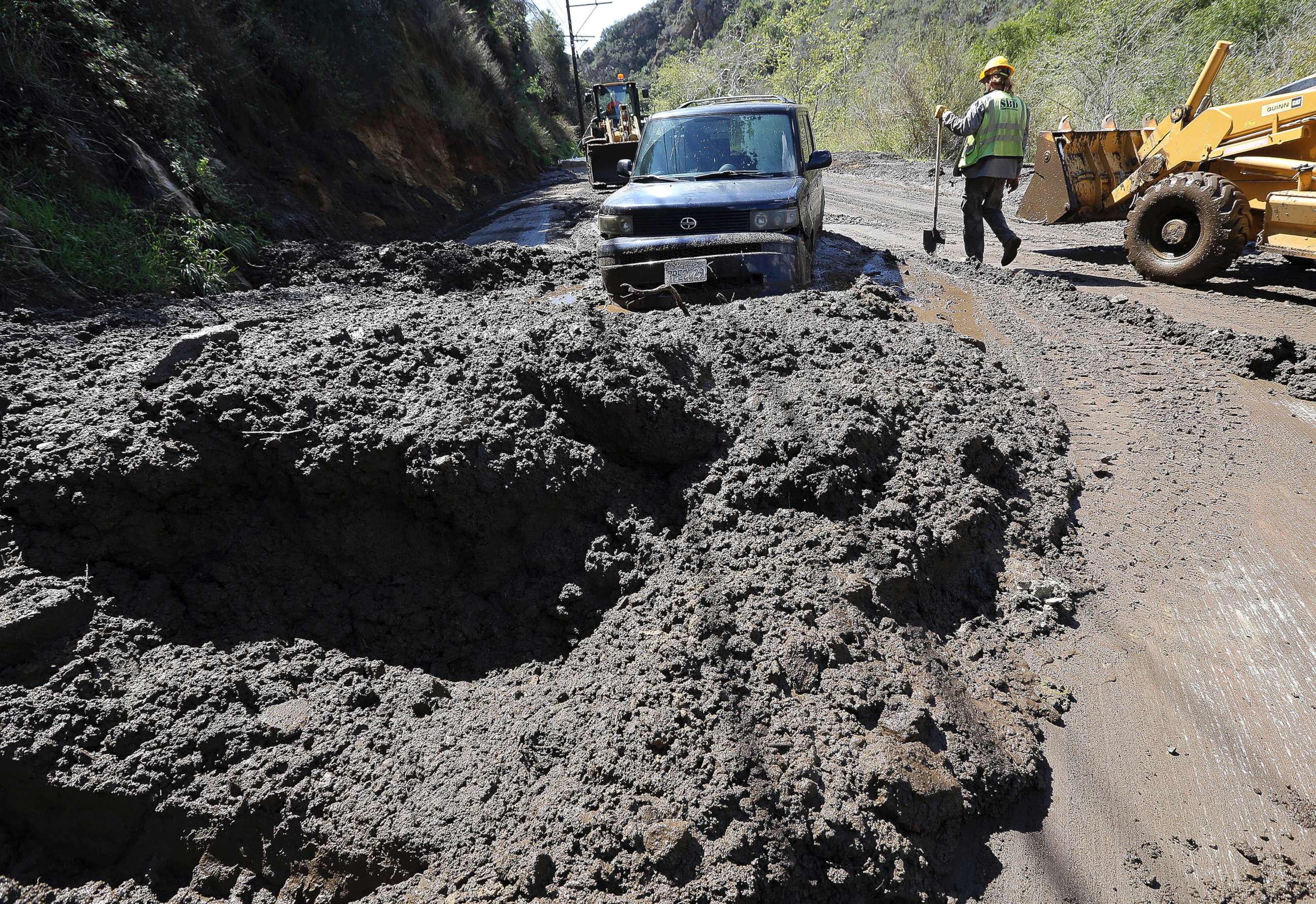
Storms also brought as much as 16 inches of snow to the Sierra Nevada Mountains over the last 24 hours.
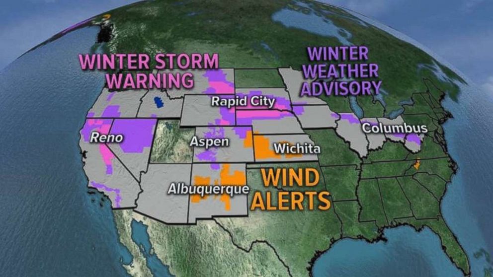
Snow and high-wind alerts have been issued in 18 states from California all the way to West Virginia.
With two storm systems looming, the first of those this morning is stretching all the way from the Gulf Coast to the Upper Plains, bringing showers and thunderstorms to the south and more heavy snow in the north.
By this afternoon and evening, showers and severe storms are expected from Missouri to Louisiana. Some of the rainstorms may contain damaging winds and isolated tornadoes are possible.
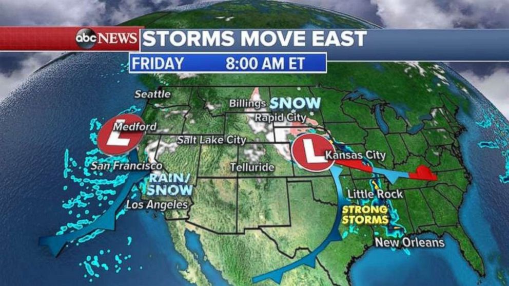
Up north, snowfall will spread from the Dakotas into Iowa.
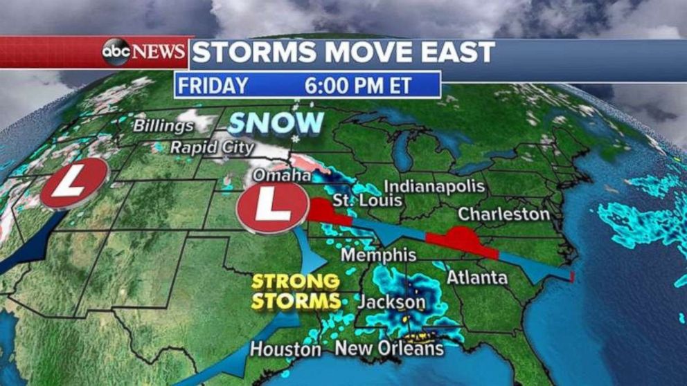
By Saturday, that storm system will weaken but still bring mixed precipitation from Illinois to West Virginia. The Southeast may see some stronger storms as well.


