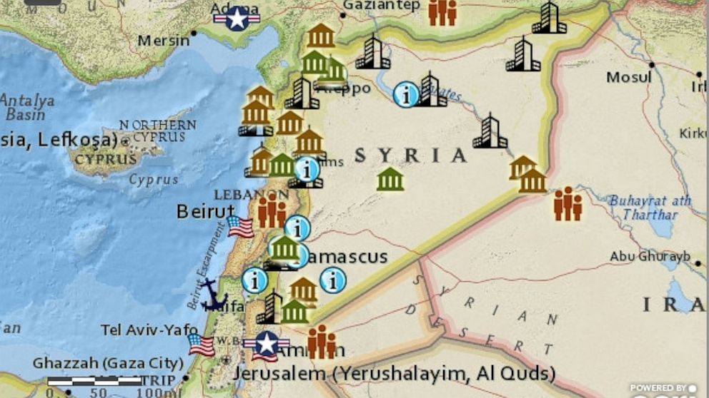
INTERACTIVE MAP: Syrian Refugee Camps
Current data on Syrian refugee camps in neighboring countries.

Sept. 6, 2013— -- The United States is gearing up to launch a small-scale military strike on Syria in response to President Bashar al-Assad’s use of chemical weapons on civilians.
The deadly chemical weapons attack prompted President Obama to call for a Western intervention in the nearly two-and-a-half year long Syria civil war, which has claimed over 100,000 lives, according to the United Nations.
The maps below paint a picture of what’s at stake for the people of Syria, as well as the Middle Eastern country’s ancient historical sites.
This interactive Syria Reference Map created by ESRI, a Fusion Investigative partner, shows major cities in Syria, World Heritage and historical archaeological sites, as well as other human interest sites throughout the country. You can also learn more about Syrian refugees in surrounding countries and see key U.S. interests in the region including embassies and military facilities.
We also have a more detailed map that provides more information about the Syrian Refugee Camps in the region. You can click on a camp to get more information about the specific camp and you can find out how many Syrian refugees are currently in each country by clicking on the surrounding countries. This map’s estimates are slightly lower than the reference map since they’re based on data released State Department a few weeks ago, while the other map reflects more recent estimates from the UN.


