Mississippi, Florida, Alabama declare emergency ahead of storm Alberto
The storm is forecast to have 60 mph winds when it hits the Gulf.
Subtropical Storm Alberto could put a damper on Memorial Day activities on the Gulf Coast this weekend, prompting the governors of Mississippi, Alabama and Florida to preemptively declare a state of emergency.
Alberto's center is forecast to pass west of Cuba, the Florida Keys and mainland Florida, setting its sights on eastern Louisiana, the Florida Panhandle and the coasts of Alabama and Mississippi.
Florida Gov. Rick Scott said Saturday morning the state of emergency covers all 67 counties to "prepare for the torrential rain and severe flooding this storm will bring."
Mississippi Gov. Phil Bryant said he would make "the National Guard and other resources available should they become necessary."
Alabama's Gov. Kay Ivey also said he directed "essential state agencies to be on the ready should they be needed over the next couple of days."
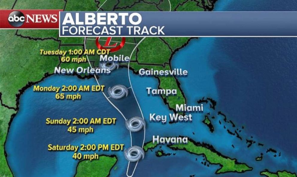
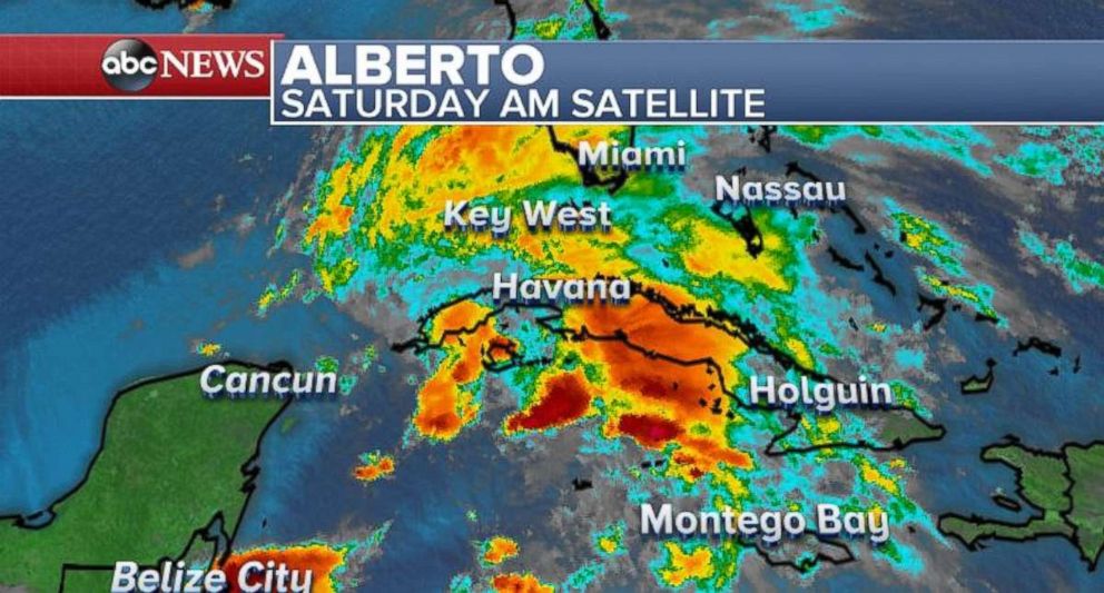
Alberto is the first named storm of the 2018 hurricane season.
The path of the storm has tracked north-northeast at 13 mph with winds up to 40 mph.
The storm will deliver spells of tropical rain showers that will strike Florida and the Gulf Coast by the end of the weekend.
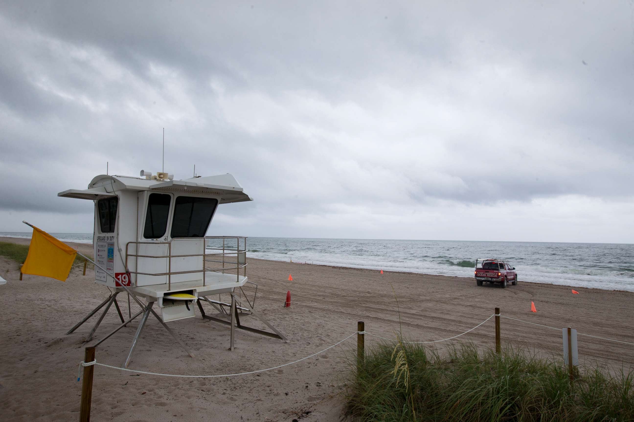
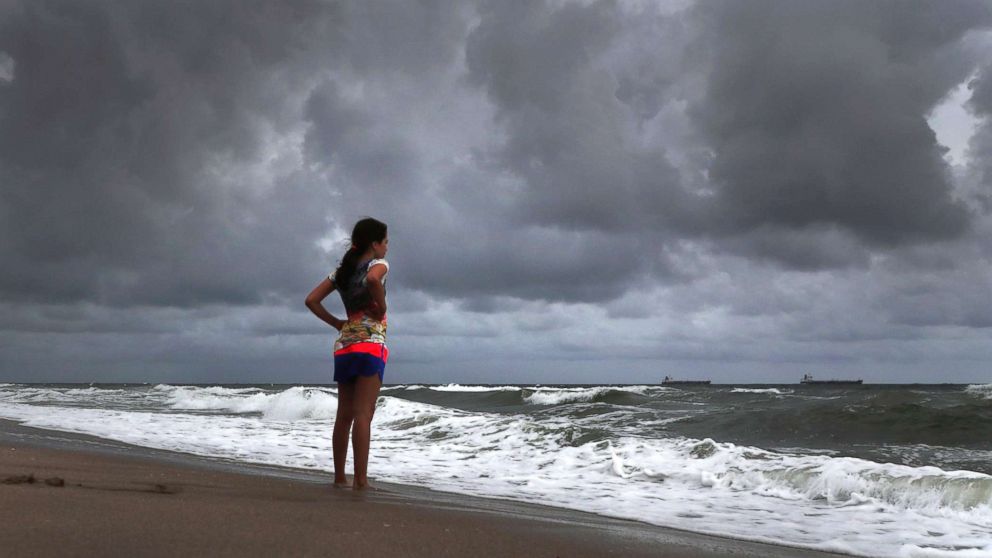
Even before Alberto arrives, the tropical showers and thunderstorms preceding it could bring brief tornadoes and heavy swells.
The precipitation levels will be hard to handle for places like Key West, Florida, which already has experienced its wettest May on record, with 13.08 inches of rain.
Western Cuba could see over 2 feet of rain, causing deadly flash flooding and mudslides.
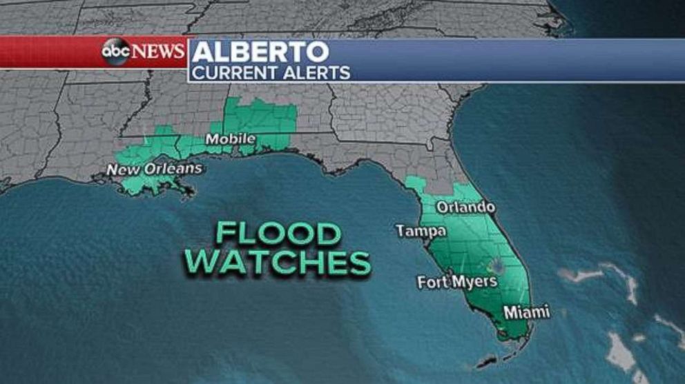
Both storm surge and flash flood watches have been issued in Louisiana, Mississippi, Alabama and large swaths of Florida, where the downpour could reach or exceed 2 inches per hour.
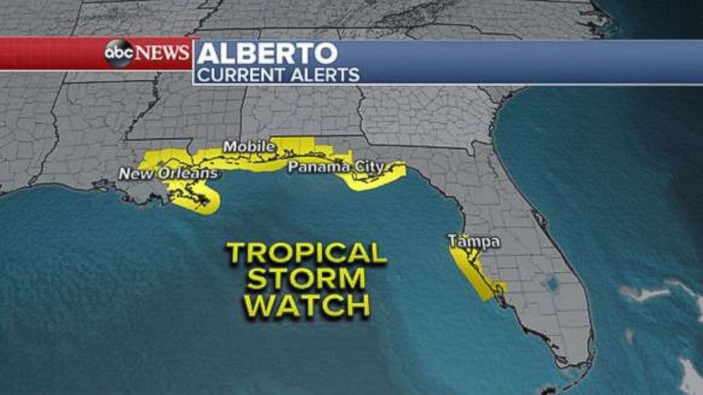
A tropical storm watch has been posted for parts of the Gulf Coast, including New Orleans, Biloxi, Mississippi, and Mobile, Alabama. A storm surge watch has been posted for parts of the coastal region from eastern Louisiana to the Panhandle of Florida. Storm surge could reach 2 to 4 feet when Alberto approaches the region on Monday.
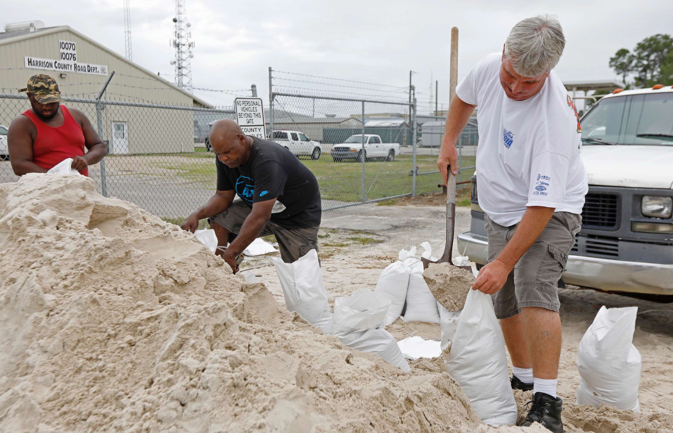
Locals have been prepping for the worst.
“I've got over 100 sandbags sitting in my driveway," Edd Falsetti of Tampa, Florida, told ABC News station WFTS. "This would be my 10th season having them."
Krista Eva scrapped her holiday plans to monitor the storm.
"A lot of times people don't get prepared because they're like, 'Oh it's just Florida weather. We won't get hit.' I think these last few storms, especially Irma, it woke a lot of people up," she told WFTS.
The National Park Service already announced the closure of West Ship Island, forcing boats in Gulfport Harbor to stay docked.
"It's devastating," National Park Service Cpt. Louis Skrmetta told told ABC News station WLOX.
"It's the perfect storm as far as ruining the tourism industry this weekend," Skrmetta said.
Edward Quinn, who runs a Gulfport Marina Bait and Tackle Shop across the harbor, invested $3,000 in a cooling system for the holiday weekend. He expected to earn back "tenfold" with the customers.
That's all on hold and the expensive equipment may have to be moved along with his vessels.
"Hopefully, we don't have to move our boats, but generally when you get winds over 40-50 miles per hour it can cause problems in the marina," Skrmetta told WLOX. "So you would have to move out of these marinas and hopefully that won't be the case here."
There were 79 reports of severe weather in the country on Friday, with the majority of the reports coming from the central United States. Three tornadoes, including one landspout in southern Minnesota and one supercell tornado in central Texas, were reported.
Hail up to the size of baseballs and softballs were also reported in central Texas.
Parts of eastern Montana and western North Dakota are at risk for damaging winds, large hail and lightning.
The following day the threat will stretch from western Kansas into southern North Dakota.
ABC News' M.L. Nestel contributed to this report.


