Eye of storm bringing extremely dangerous conditions to southeast Louisiana
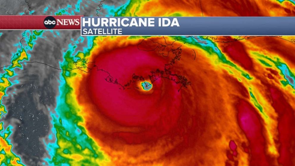
Hurricane Ida is holding on to maximum sustained winds of 150 mph more than an hour after it made landfall near Port Fourchon, Louisiana.
As Ida’s eye continues to move ashore, it is bringing powerful, damaging winds, torrential rain and dangerous storm surge to the southeast Louisiana coast.
The center of the storm is currently about 55 miles south-southwest of New Orleans and is moving northwest at 13 mph.
Ida will continue to move across southeastern Louisiana through Sunday afternoon, bringing major weather impacts to a widespread region.
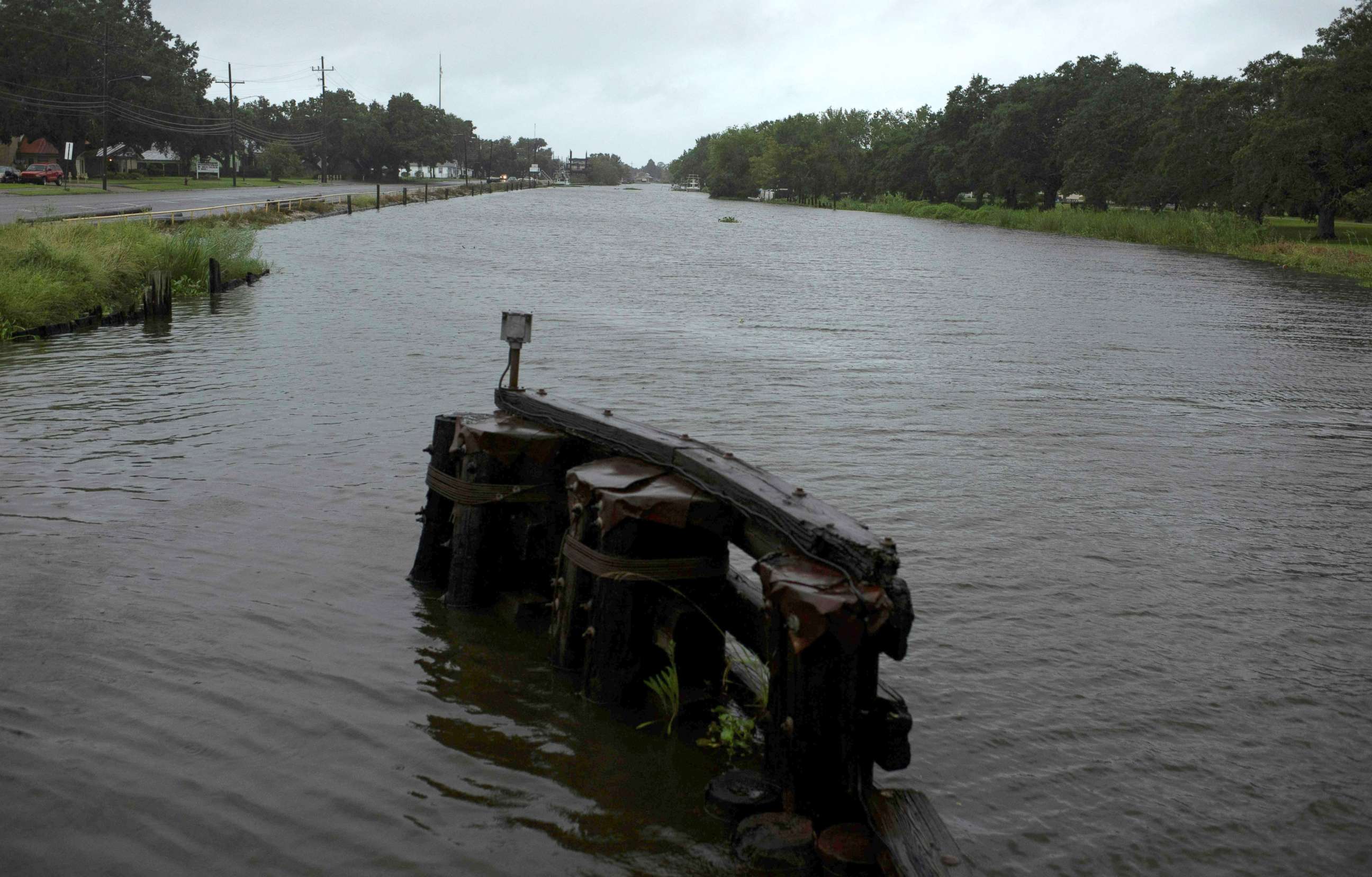
Relentless heavy rain could trigger potentially significant flash flooding, while high wind gusts, dangerous storm surge and possible tornados also threaten the area.
Tornados are also possible in parts of Louisiana, Mississippi, Alabama and the Florida panhandle.

Storm surge concerns will be greatest Sunday afternoon and evening as the storm moves further inland. The surge could reach 8 to 12 feet in some spots along the coast of Louisiana and Mississippi.
An extreme wind warning remains in effect for the region, including in Grand Isle, Louisiana, which is currently reporting intense wind gusts.
Deteriorating conditions with heavy rounds of rain and possible flash flooding are expected in New Orleans over the next few hours.
The system will begin to weaken over the next few hours but will still bring dangerous hurricane conditions over a widespread area. A large swath of the Louisiana and Mississippi areas can see 10 to 20 inches.
The heavy rain and flash flooding threats will eventually reach the
Tennessee Valley Monday into Tuesday.
-ABC News’ Dan Peck


