Photos: Hawaii volcano erupts rivers of fire and lava
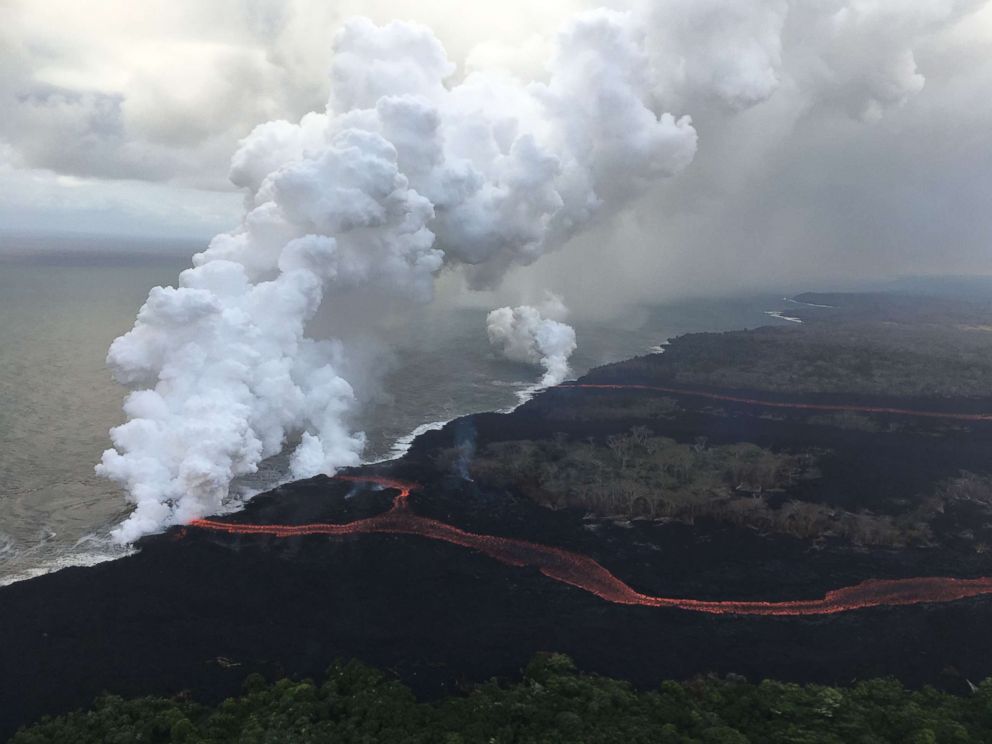
Aerial photos reveal the extent and devastating force of the volcanic eruption.
May 7, 2018, 11:58 AM
Aerial photos and footage reveal the extent and devastating force of the volcano erupting in Hawaii.
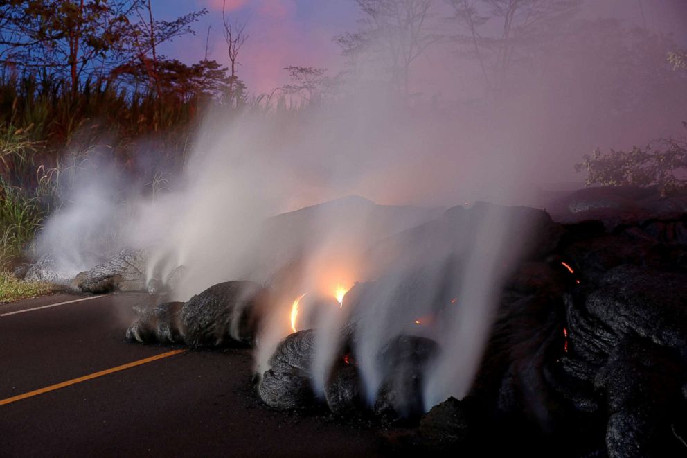
Bruce Omori/Paradise Helicopters via Shutterstock
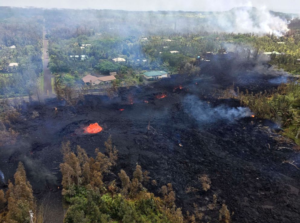
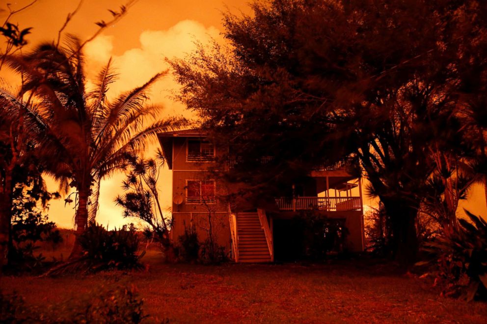
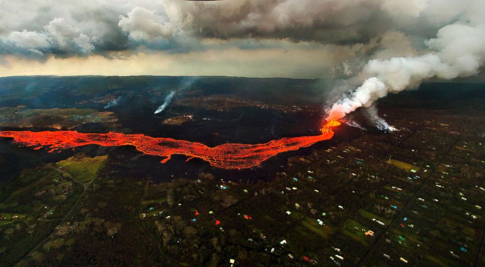
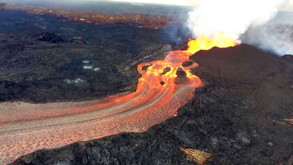
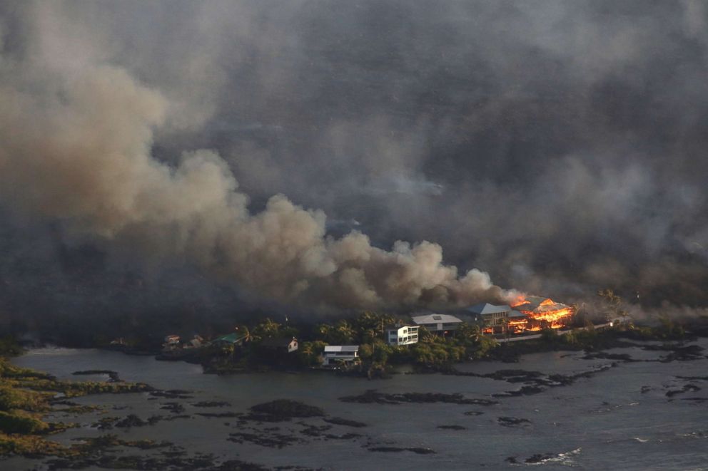
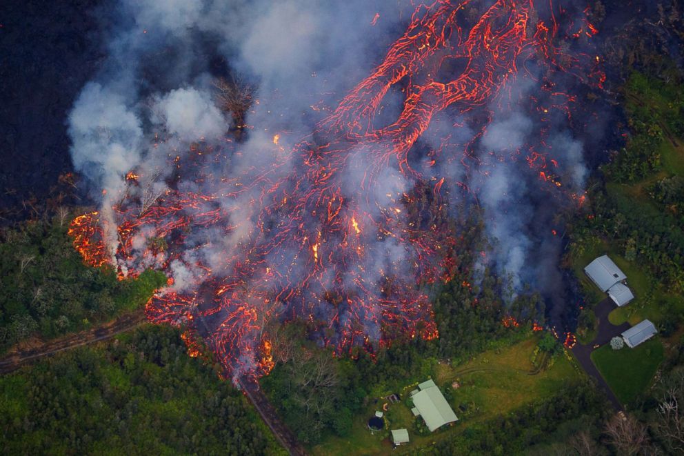
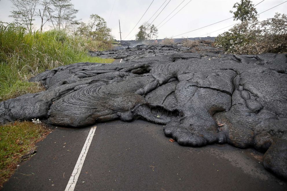
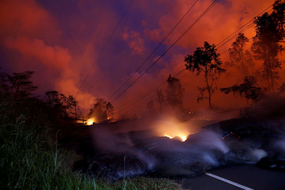
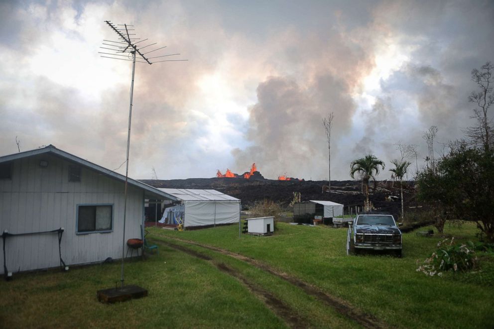
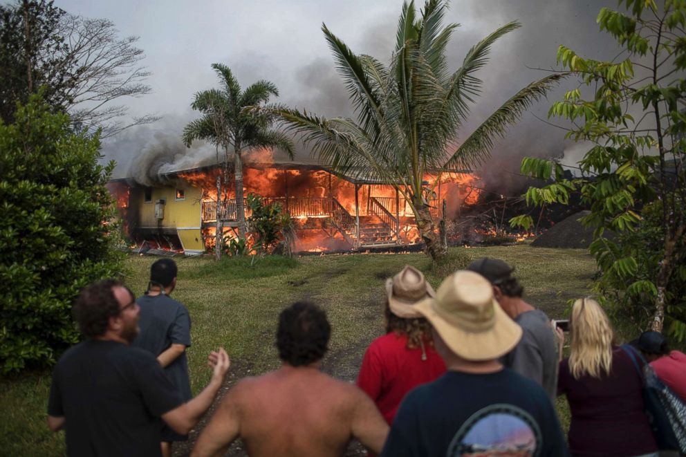
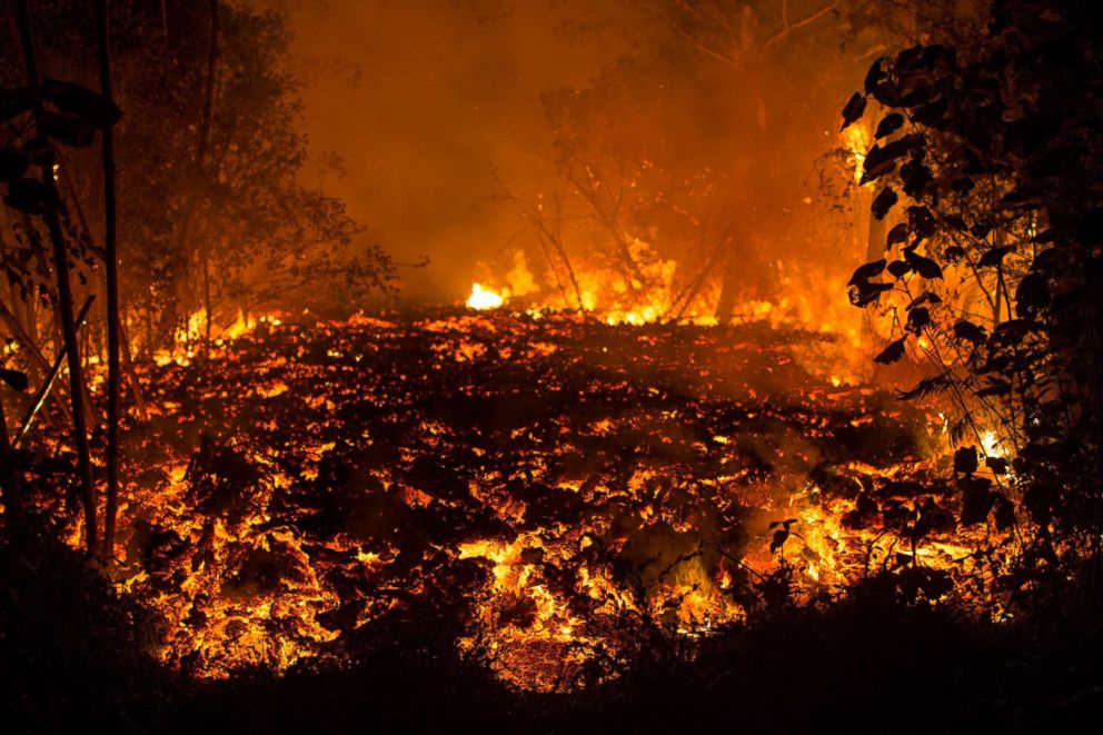
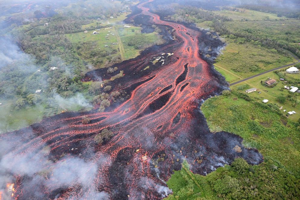
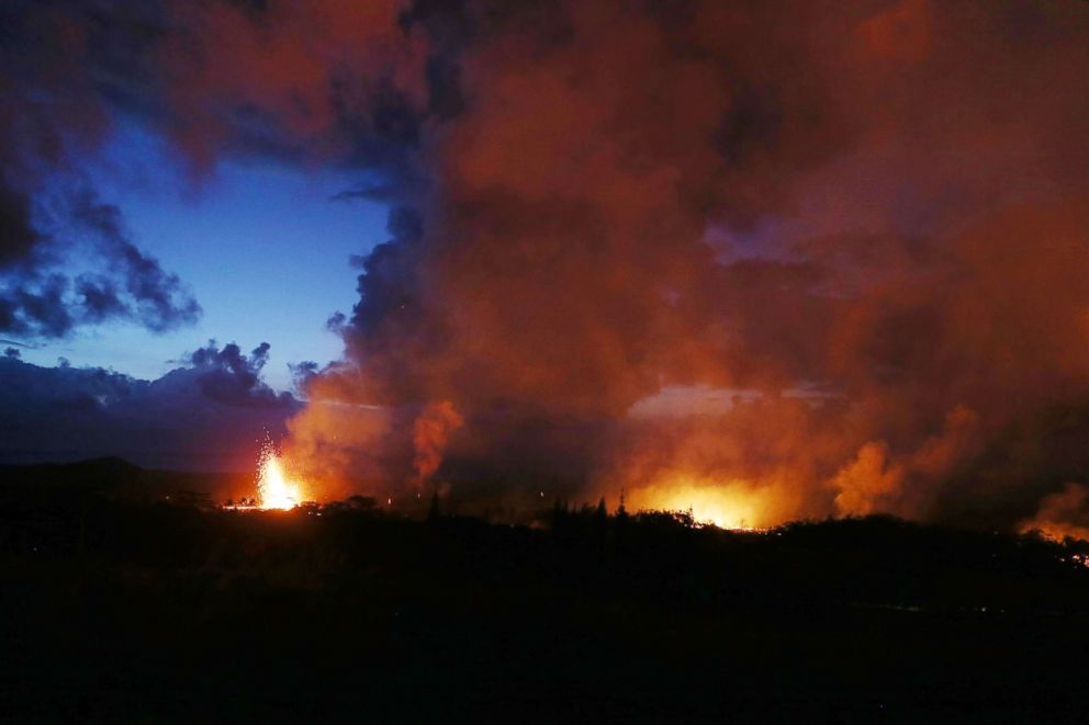
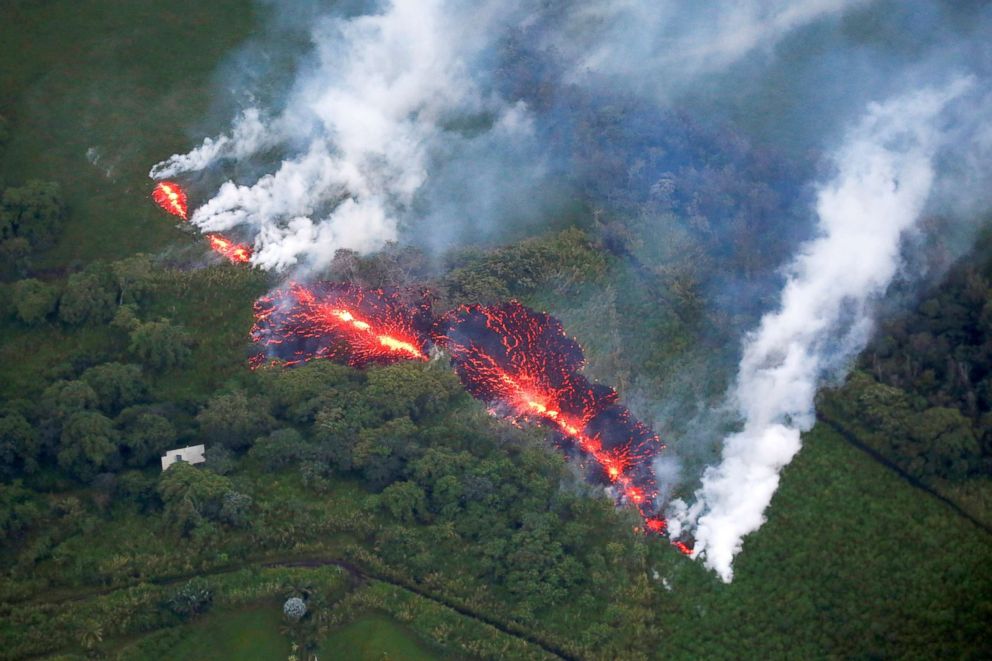
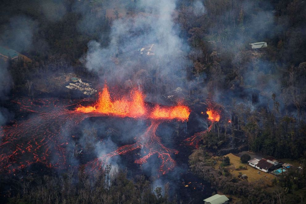
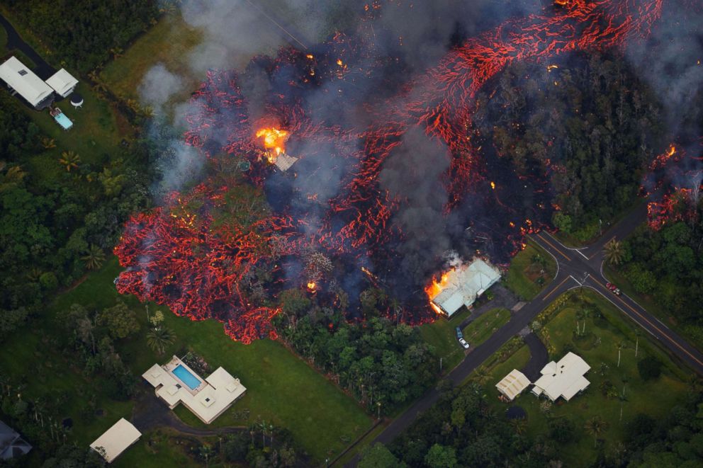
Flaming, red hot lava engulfed homes and structures in its path, as rivers of fire flowed downhill through neighborhoods of the Big Island.

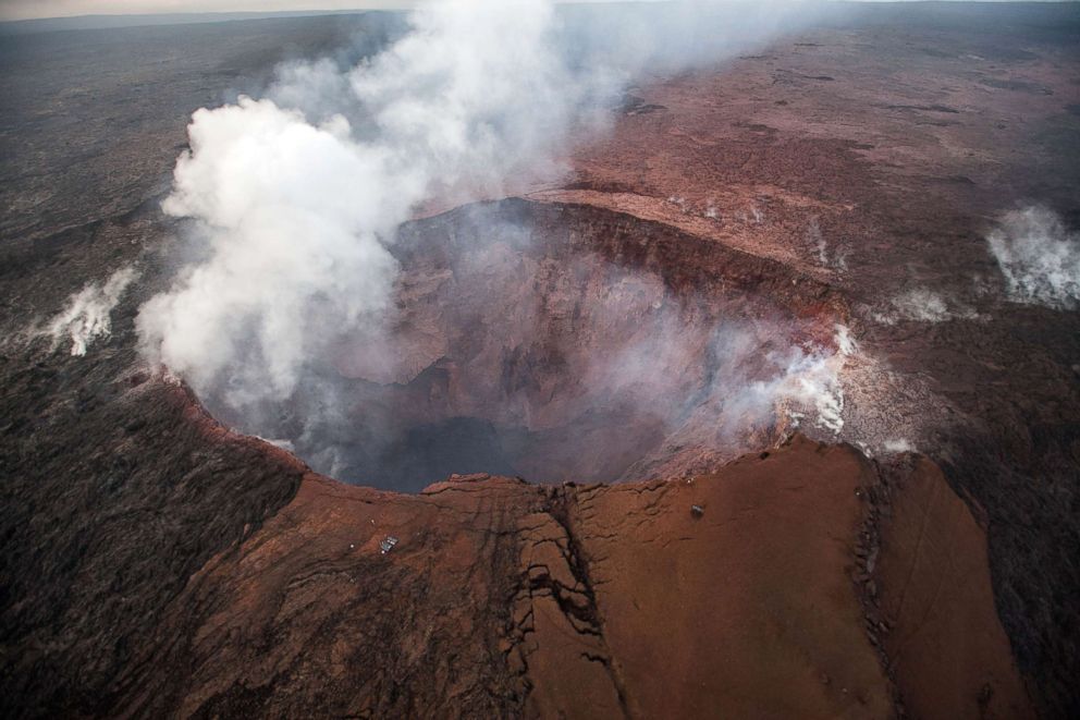
U.S. Geological Survey via AFP/Getty Images
Bruce Omori/Paradise Helicopters via Shutterstock
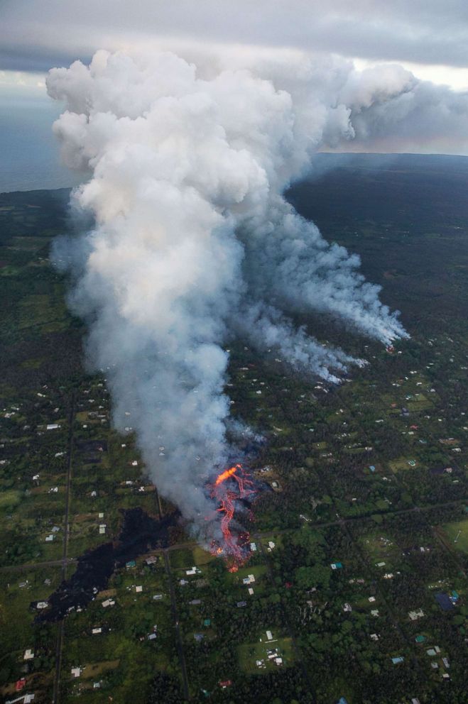
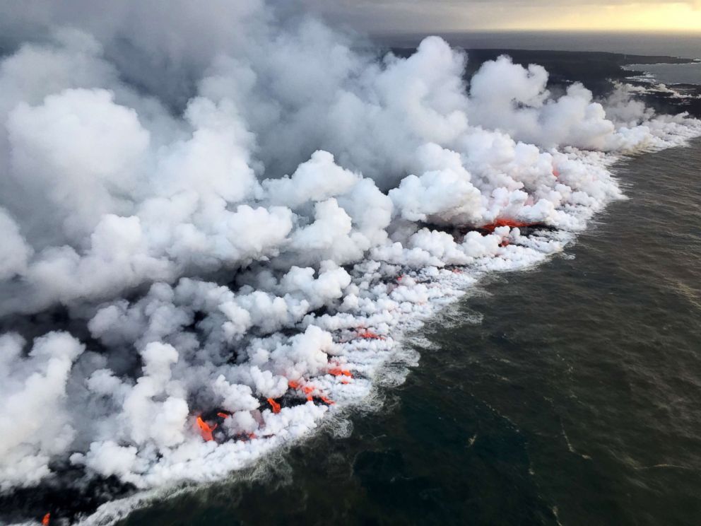
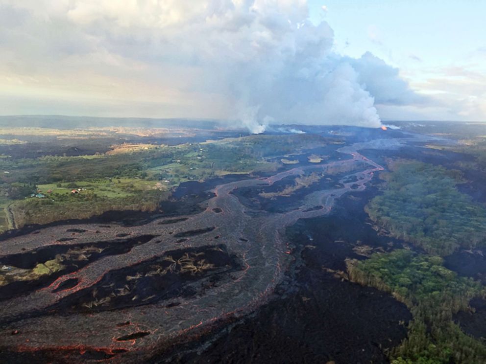
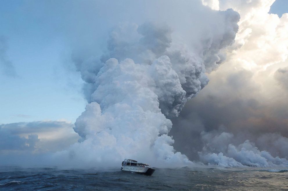
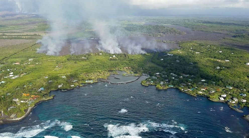
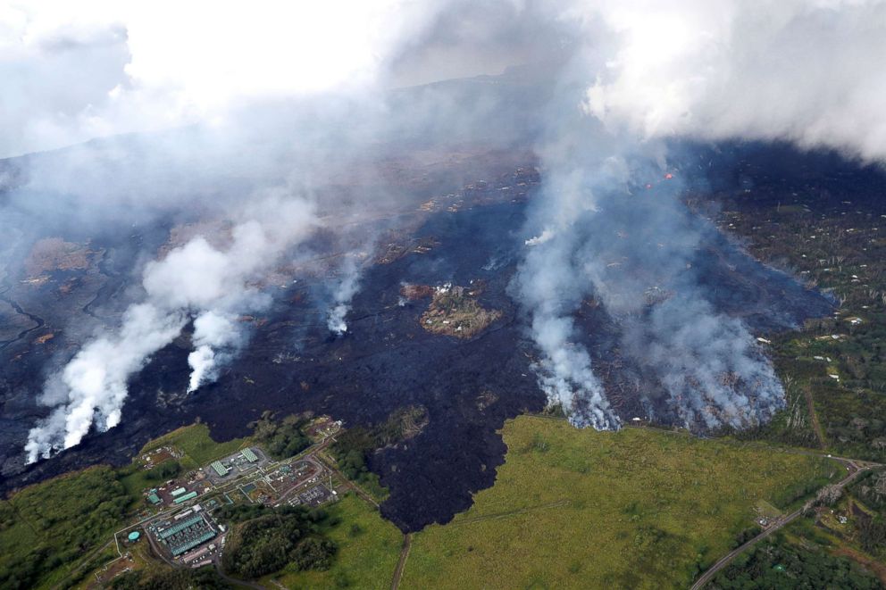
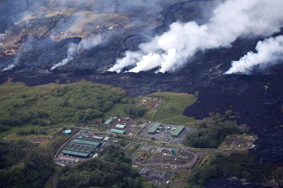
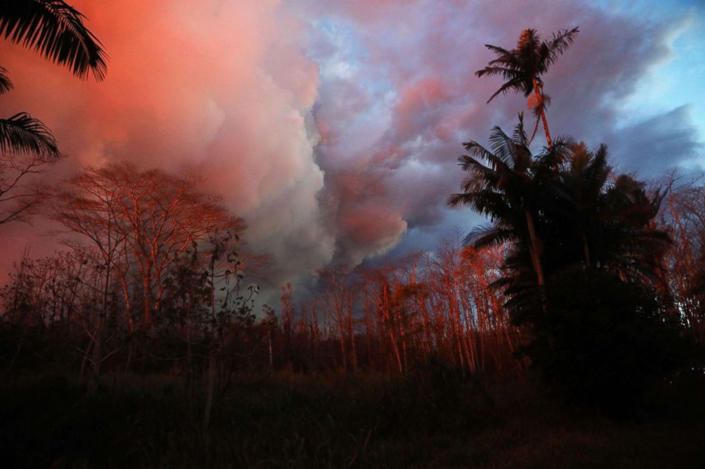
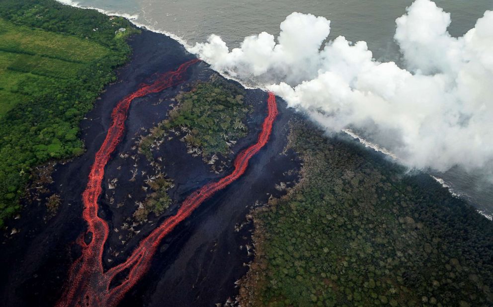
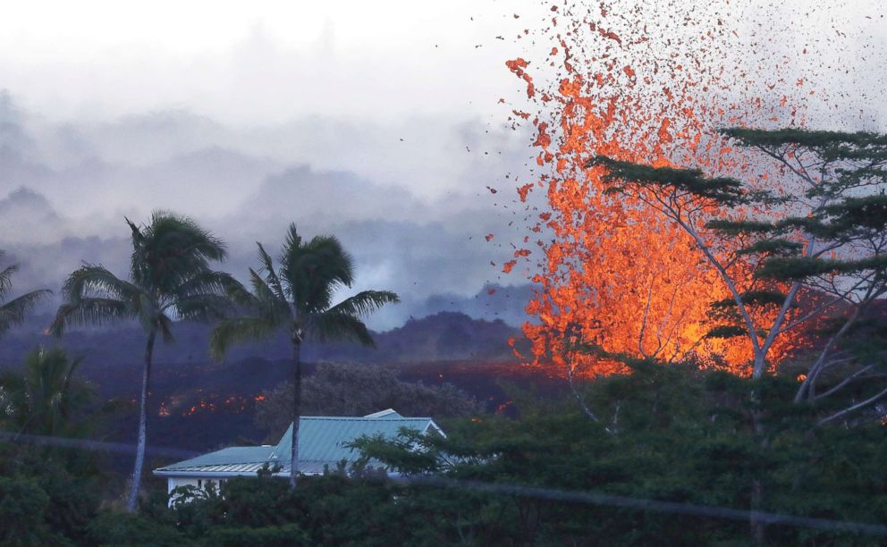
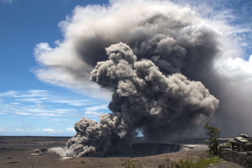
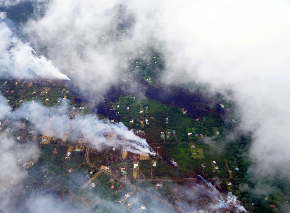
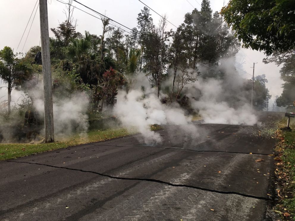
Enormous plumes of smoke fill the sky with toxic gas as more vents opened up.
U.S. Geological Survey via AP
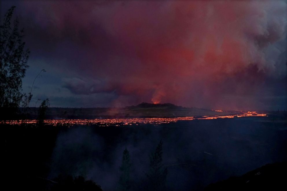
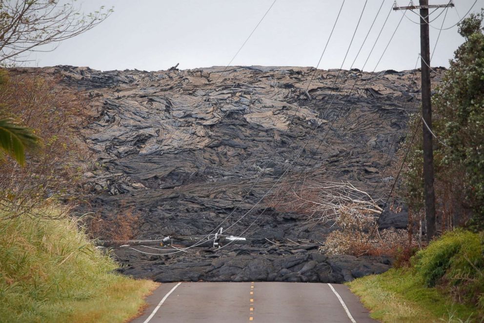
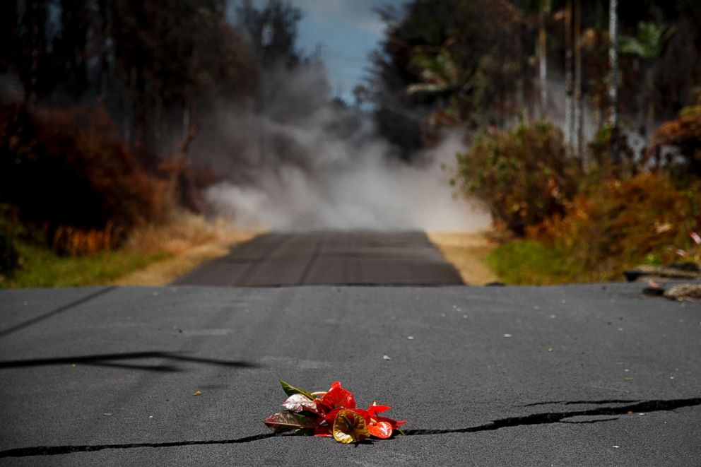
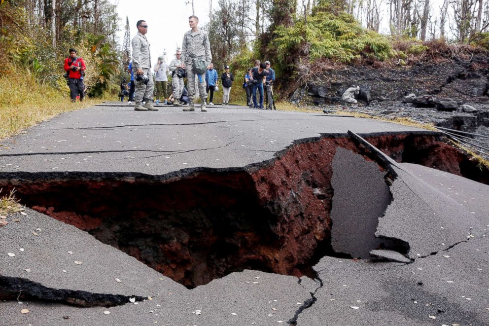
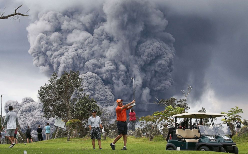
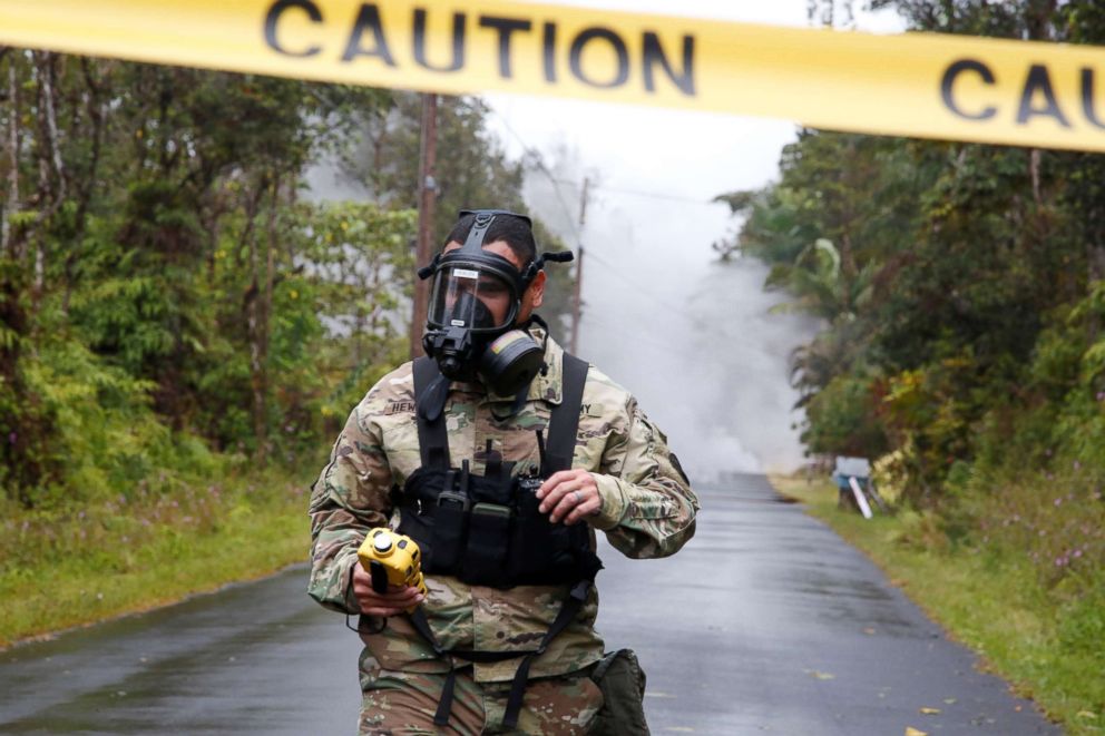
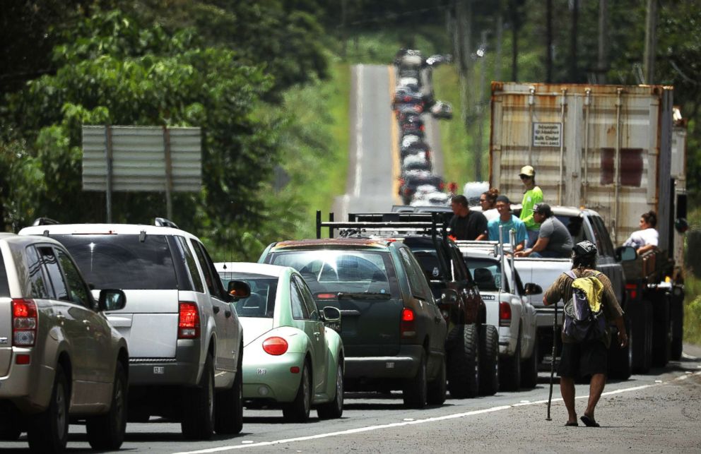
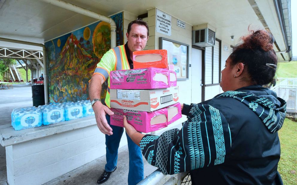
Residents were evacuated and warned of unstable roads and elevated levels of sulfur dioxide.
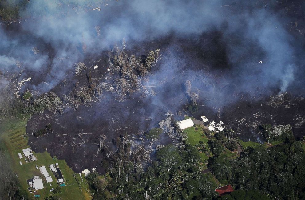
Mario Tama/Getty Images
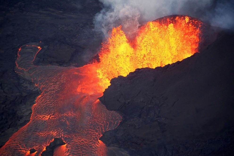
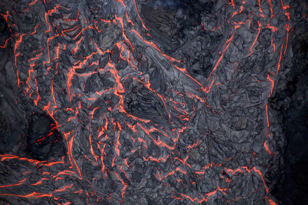
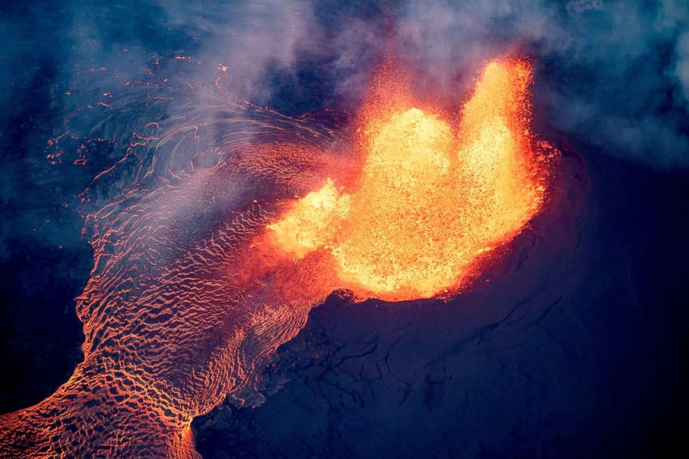
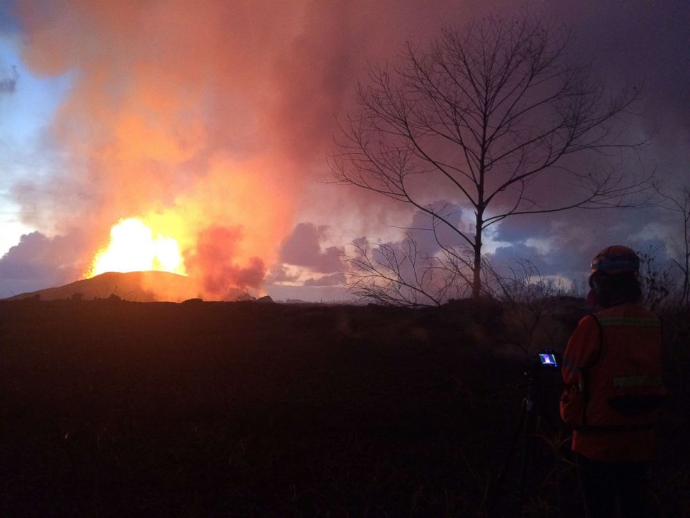
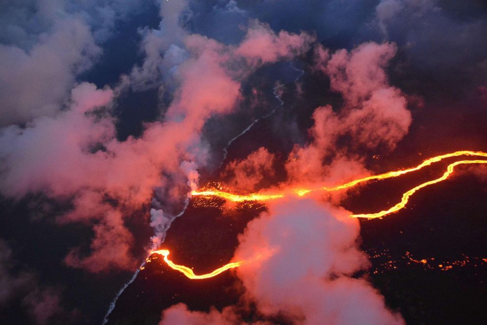
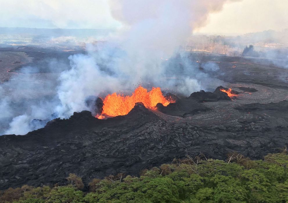
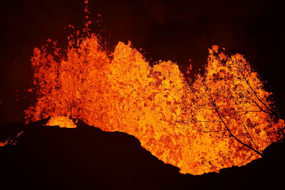
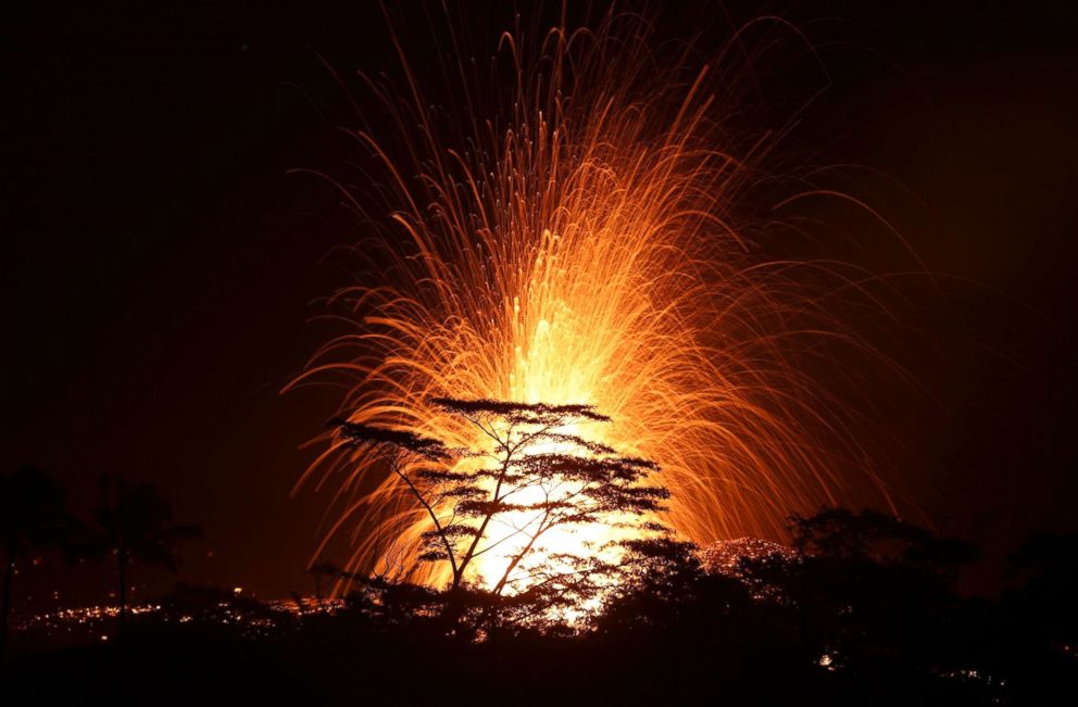
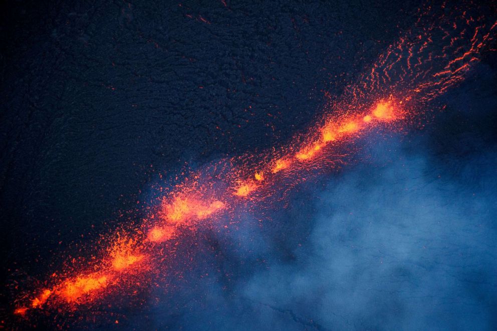
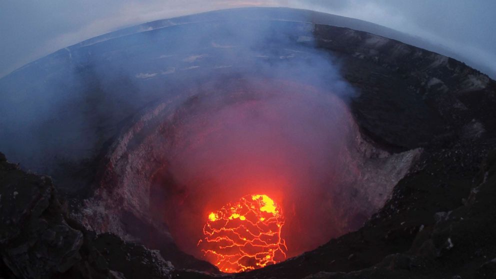
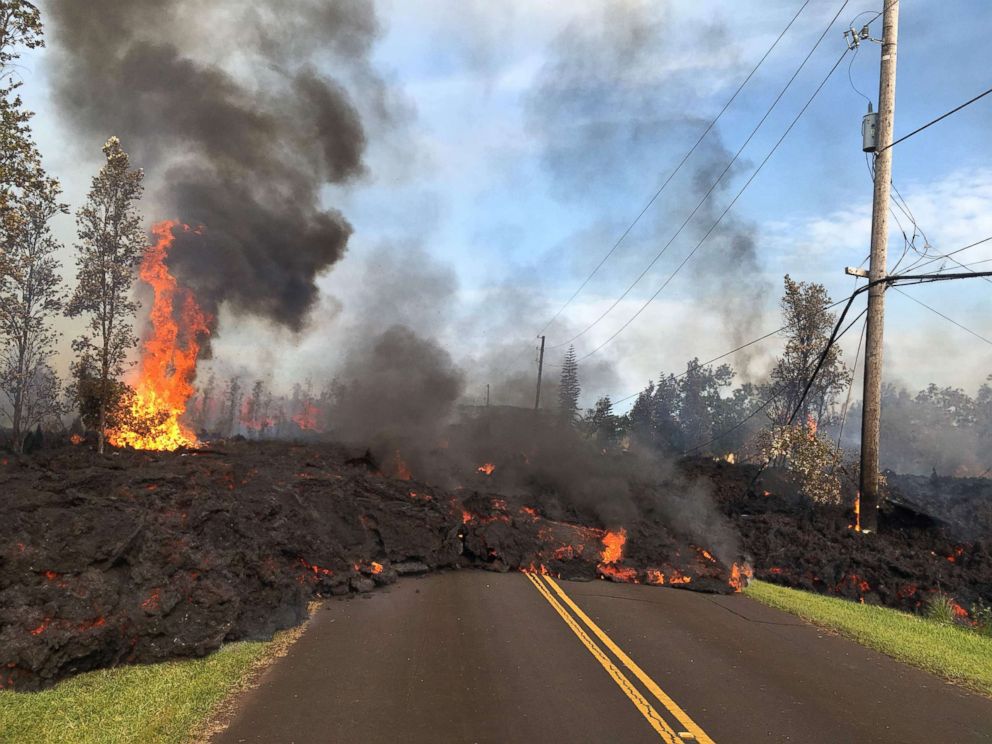
The U.S. Geological Survey reported molten lava shooting as high as 330 feet in the air -- higher than the tip of the torch on the Statue of Liberty.
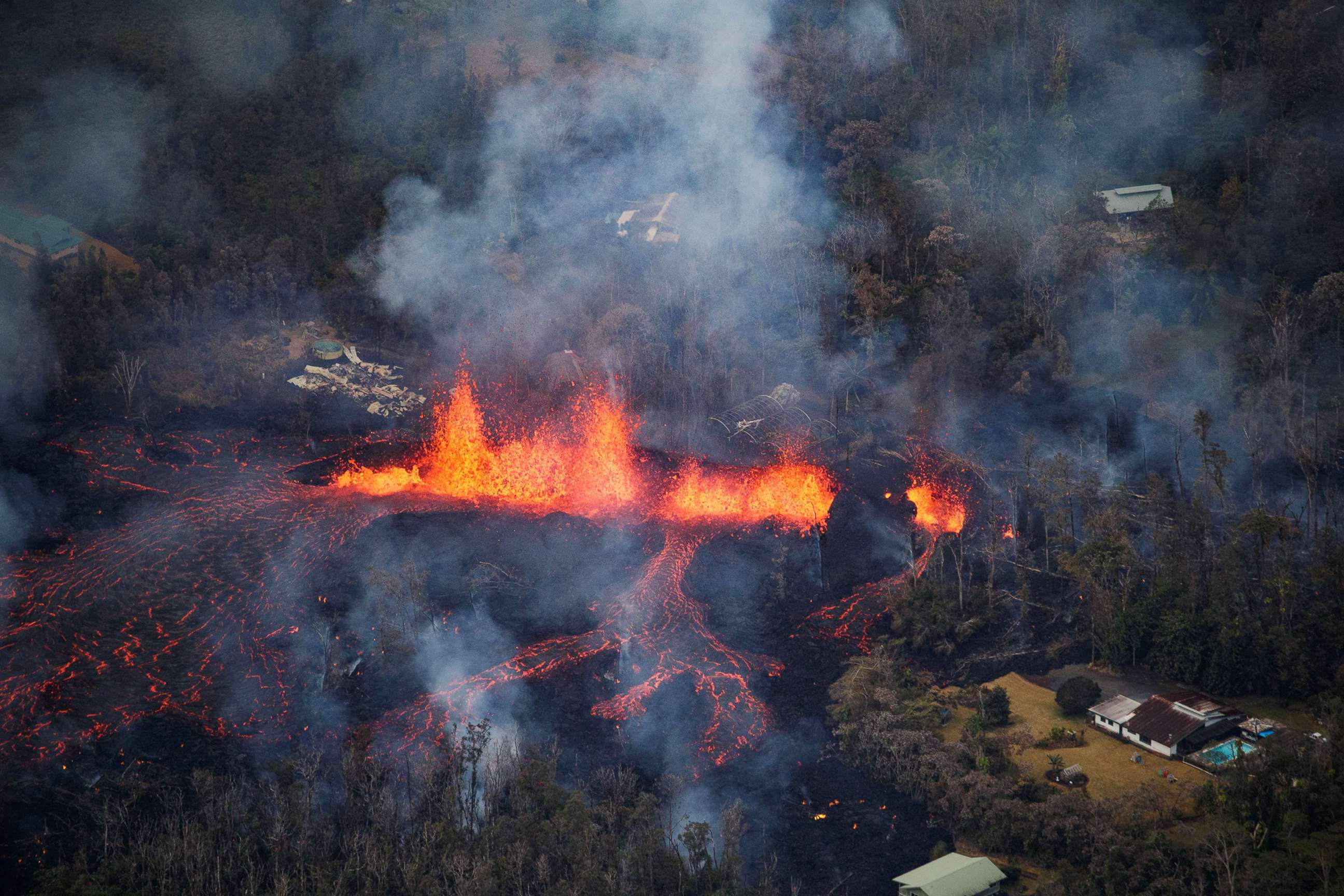
Bruce Omori/Paradise Helicopters via Shutterstock
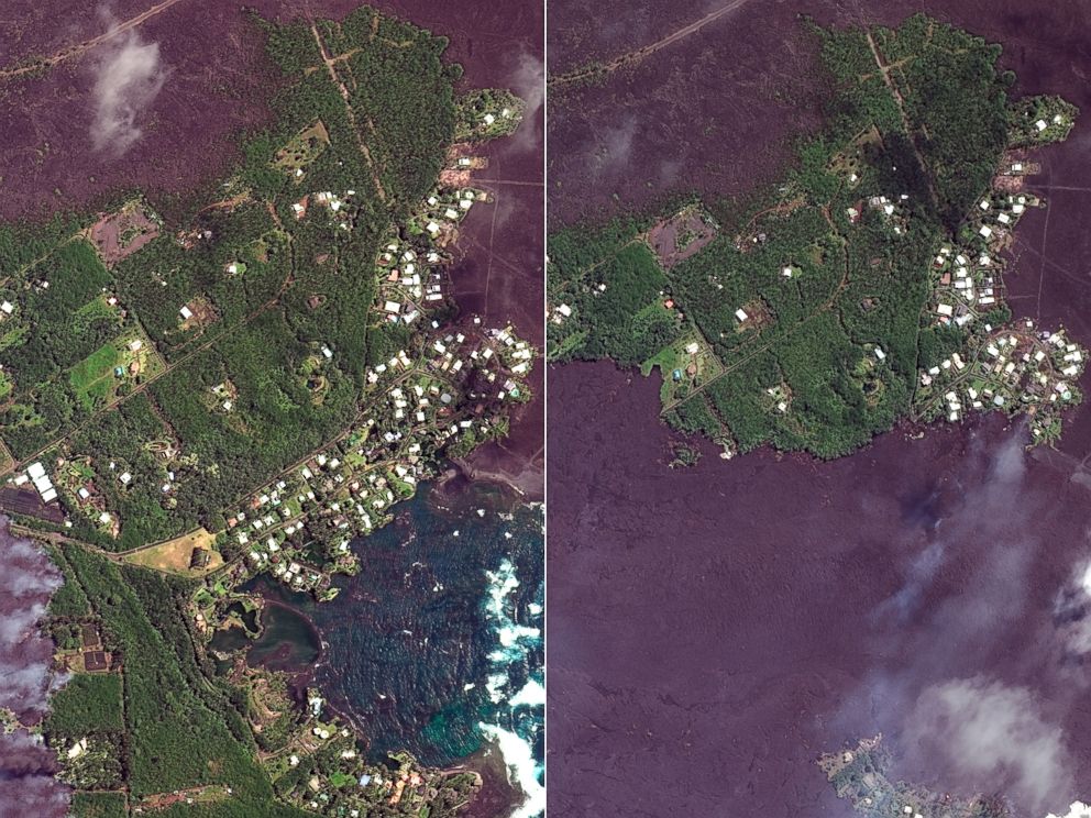
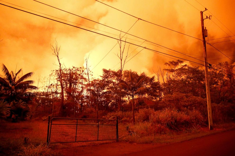
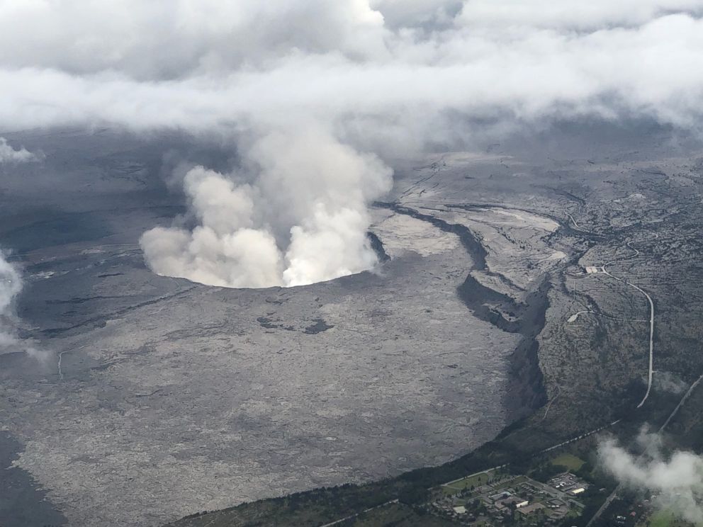
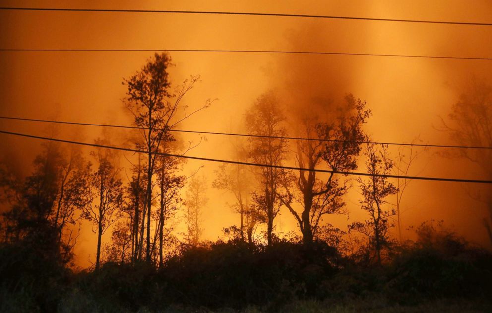
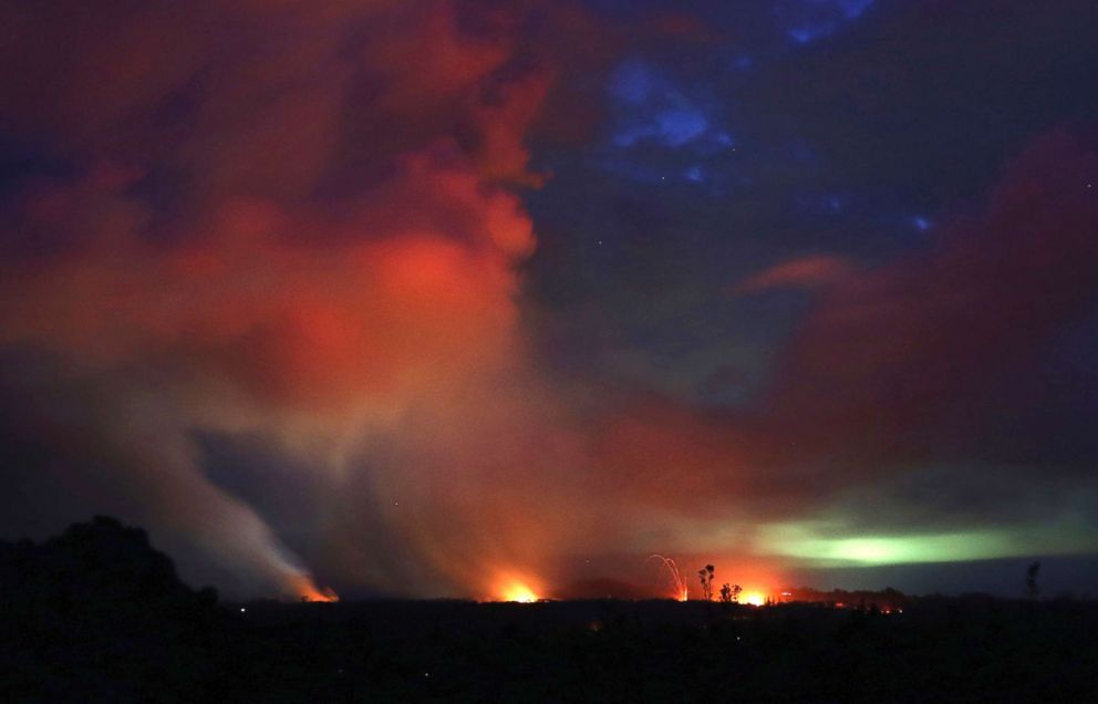
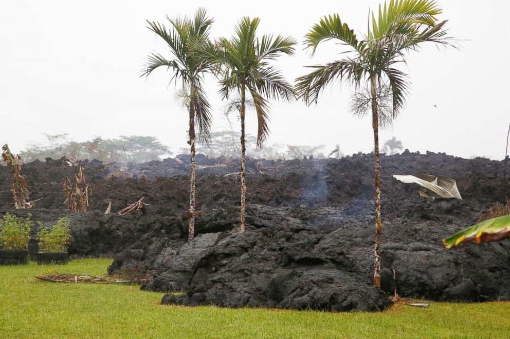
No one knows exactly how long the Kilauea volcano will continue to erupt.

Bruce Omori/Paradise Helicopters via Shutterstock

U.S. Geological Survey via AP
New eruptions from Hawaii volcano create more lava destruction

1 of 57
ZUMA Press/Newscom
Related Topics

Popular Reads
ABC News Live