Strong storms headed for East Coast Thursday
These storms will produce very heavy rain that could cause flash flooding.
As a strong cold front pushed east Wednesday, severe storms produced more than 340 damaging wind reports from Illinois to Pennsylvania.
Some wind gusts surpassed 75 mph in Indiana, Kentucky, Ohio and Michigan. More than 600,000 people were left without power in the Midwest Wednesday night.
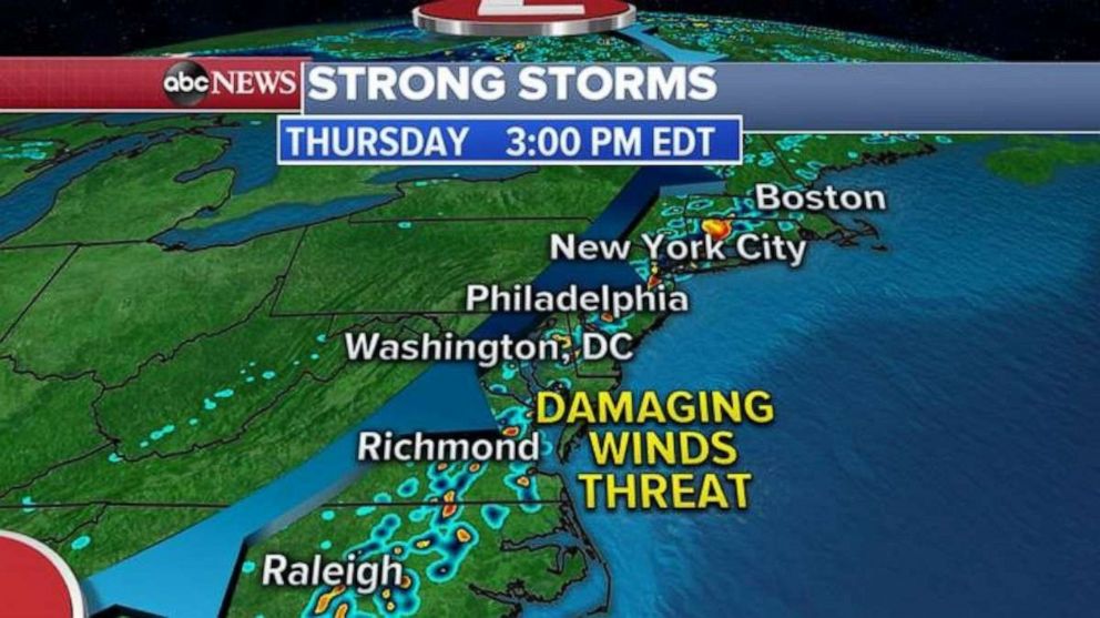
This same cold front is moving east and is approaching the East Coast Thursday with a line of thunderstorms.

With daytime heating, these storms could become strong to severe with damaging winds, lightning and heavy rain by Thursday afternoon.
Major cities on the I-95 corridor, from Boston to New York City, to Washington D.C. and down to Raleigh, North Carolina, will see these storms Thursday.
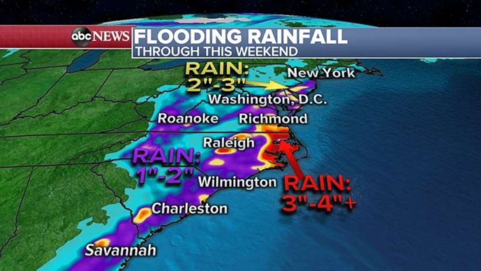
These storms will produce very heavy rain that could cause localized flash flooding from New Jersey into the Carolinas.

As part of this frontal system stalls in the Carolinas over the next few days, some areas could see more than 4 inches of rain.
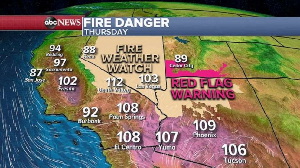
Meanwhile, in the West, the region continues to be hot with very dry and gusty winds. These conditions are perfect for spreading wildfires.
The heat will move away from coastal California Thursday and will move inland where temperatures could reach 110 degrees in spots.

Over the next few days, windy and dry weather will prevail in the Southwest.


