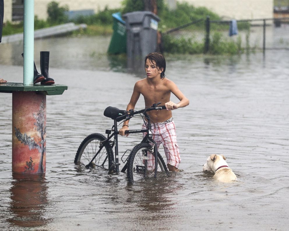
What You Need to Know About Hermine as Storm Tracks Up East Coast on Labor Day
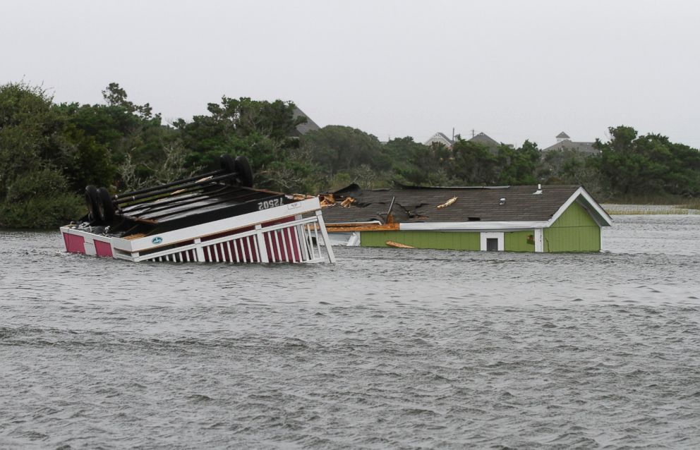
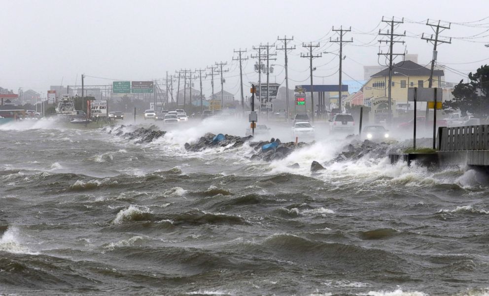
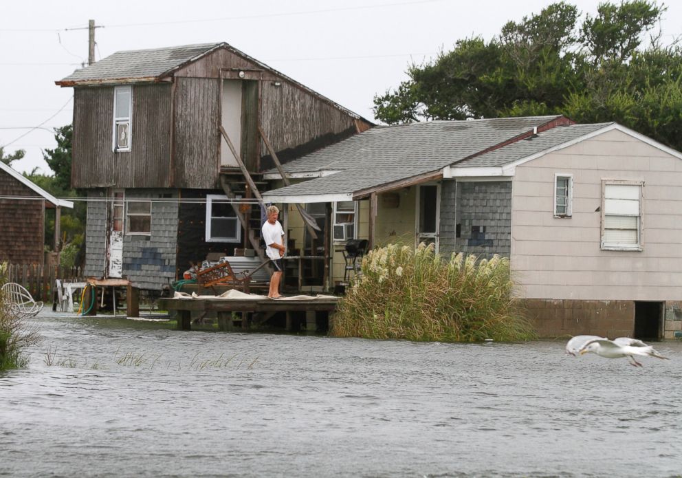
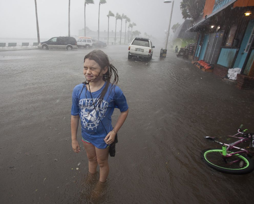
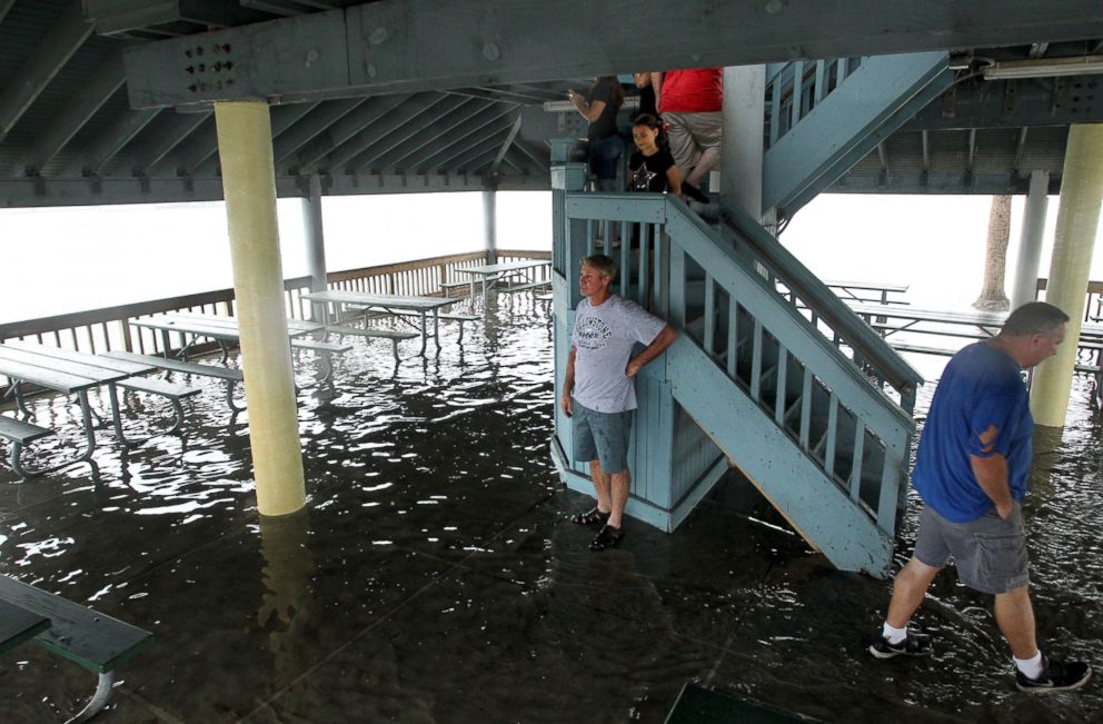
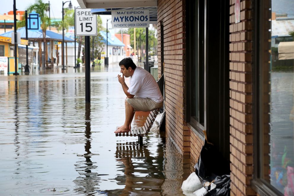
Most notable impacts the next few days will be coastal flooding and high surf.
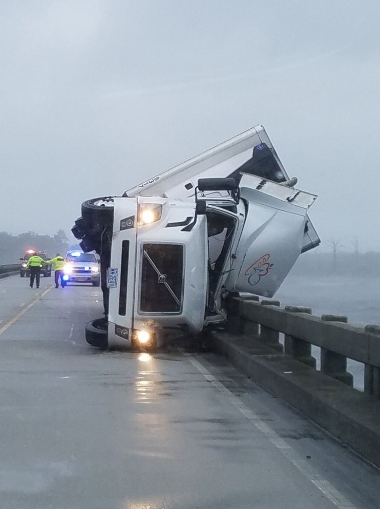
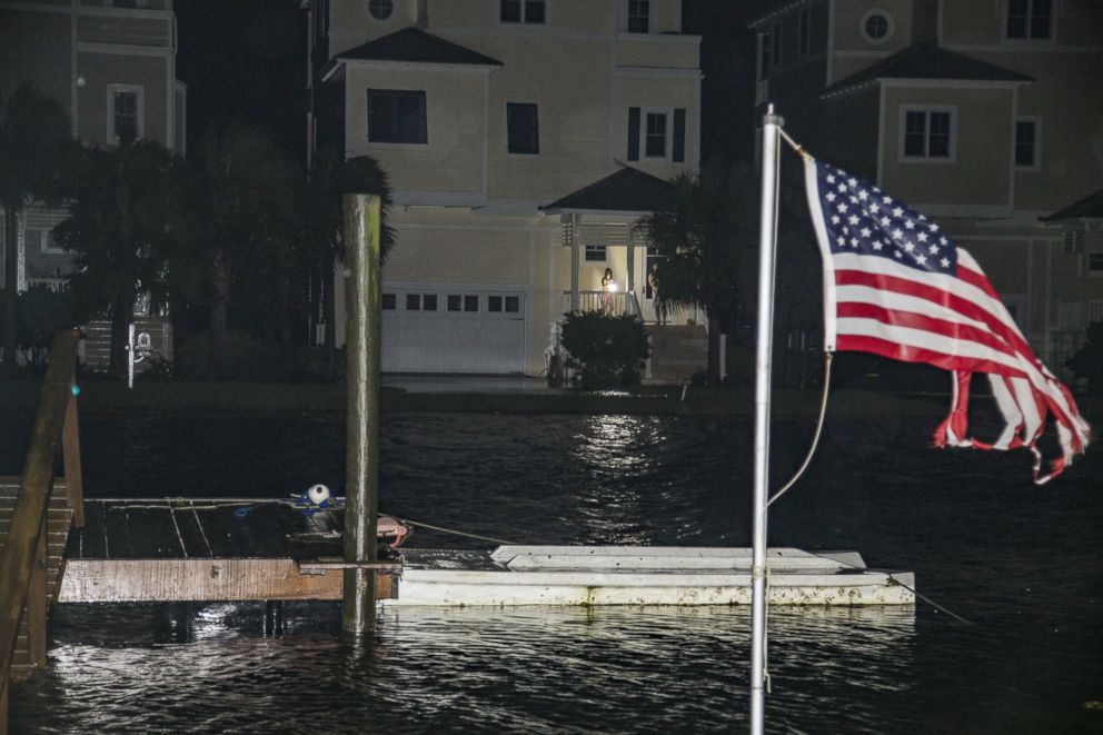
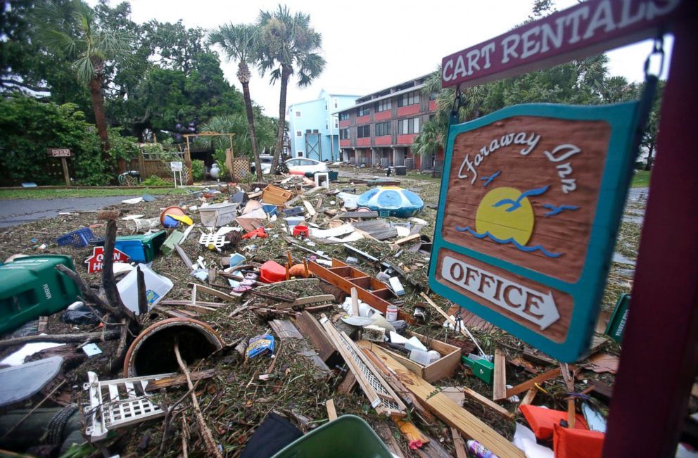
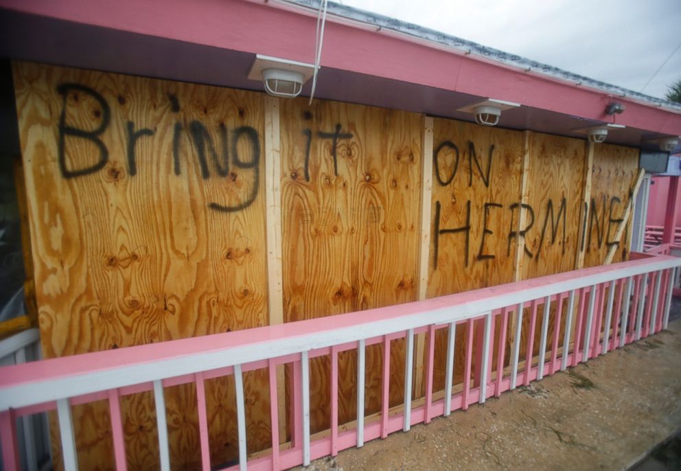
— -- Post Tropical Cyclone Hermine moved up the East Coast Sunday, stalling out at sea further east than expected, but was still predicted to affect Labor Day plans with dangerous surf and possible tropical storm conditions for some areas of the northeast.
The storm made a northward turn and is forecast to make a gradual turn northwest later today.
It will meander off the mid-Atlantic coast for the next day or two, and after that, the storm is expected to move in a northeast direction again and head out to sea.
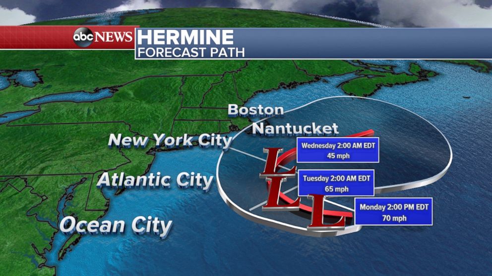
As you begin your Labor Day celebrations, here is everything to know about Hermine's impact today and for the rest of this week.
The most notable impacts the next few days will be coastal flooding and high surf in the Northeast.
The flooding is expected to be minor to moderate.
Hermine Makes Landfall
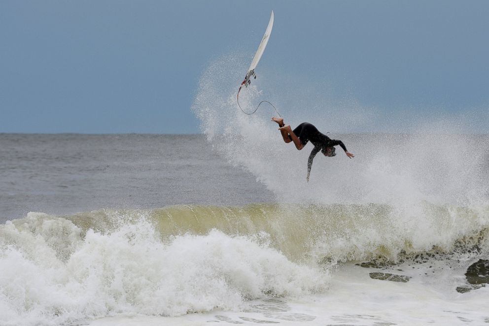
Because the storm tracked further east than expected, the coastal flooding threat has diminished greatly across the New York City area as well as in New Jersey and Delaware.
However, coastal flood warnings remain in place this morning for areas that typically flood during coastal storms, like in New Jersey.
The only tropical storm warnings that remain in effect are the eastern portions of Long Island, the eastern Connecticut coastline and the southern coastlines of Rhode Island and Massachusetts.
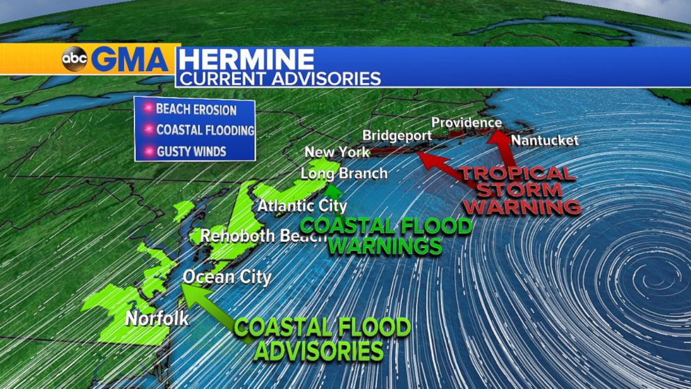
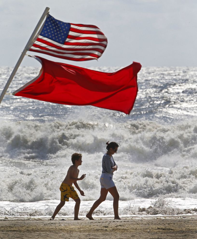
But residents are still urged to mindful of the water.
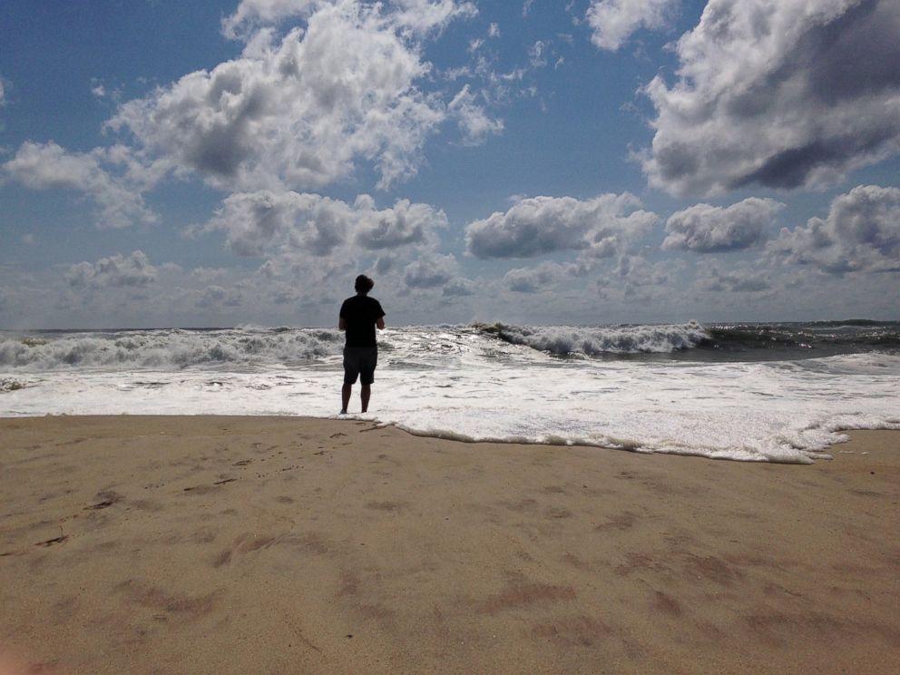
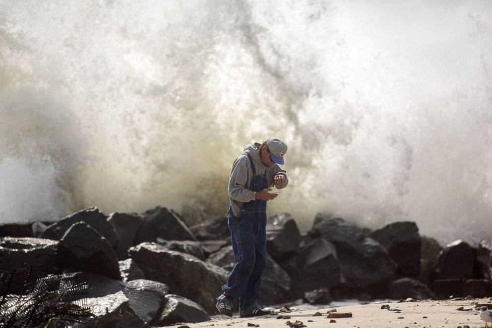
The rough surf and large waves -- especially on Long Island and the southern shores of New England -- will continue to cause beach erosion today and the following few days.
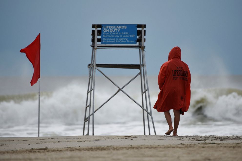
New York City beaches remain closed to swimming due to a threat of rip currents. Beach season was extended through Sept. 11 for the city.
