Map Explores Wi-Fi Penetration Around the World
Map shows how places have changed over time becoming more connected.

— -- Here's one way to put it into perspective just how connected we are around the world.
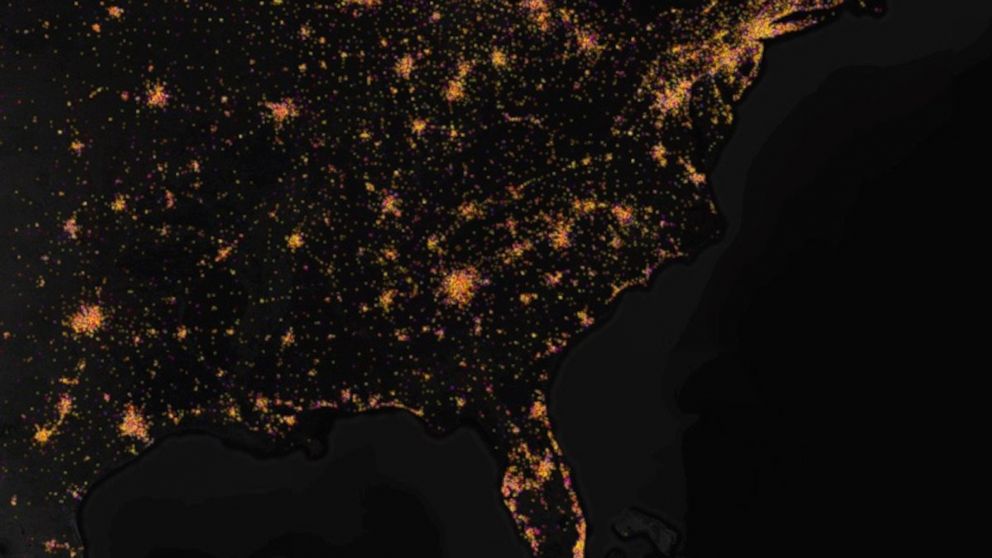
The estimated 900 million Wi-Fi signals and cellular towers globally were plotted on stunning interactive maps, allowing people to explore how large urban areas around the world have continued to become even more wired.
The maps were created using information from big data company Skyhook and then visualized by Eric Fischer at Mapbox. Each of the bright dots on the maps signifies a single Wi-Fi signal, meaning the warmest areas on the maps are likely places where many signals are frequently used, such as office buildings or schools.
"One of the most interesting things about this data set is how it shows travel patterns and how places have changed over time," Fischer said in a blog. "If you zoom out from the dense coverage of Manhattan, you can see neighborhoods full of yellow, all mapped within the last six months, where many people are constantly passing by with cell phones. The result is a snapshot of how people are moving through the city each day."


