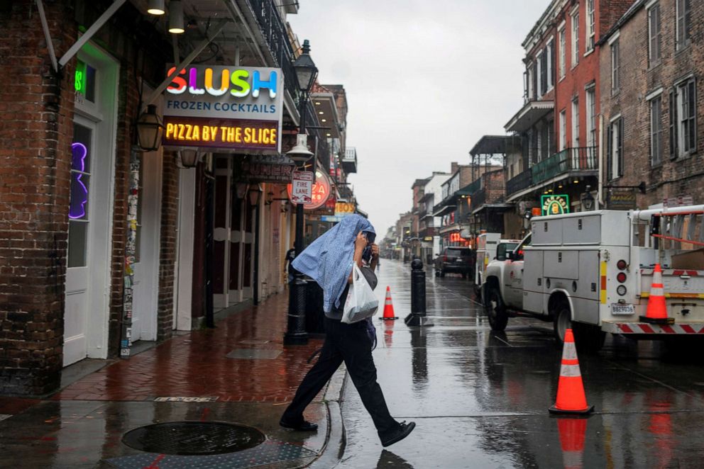
2020 was a record-breaking hurricane season. Here's what NOAA says to expect in 2021.
Climate change is affecting the increase in severity and frequency of storms.
The National Oceanic and Atmospheric Administration released this year's hurricane outlook after a record-breaking 2020 season.
Forecasters predict a 60% chance of an above-normal 2021 hurricane season, however, experts said that this year's storms likely won't surpass 2020's historic level of activity.
In the 2021 Atlantic season -- June 1 through Nov. 30 -- there's likely to be 13 to 20 named storms with winds of 39 mph or greater, 6 to 10 of which could become hurricanes with winds of at least 74 mph.
Three to five of those hurricanes could become Category 3, 4 or 5 storms with winds of 111 mph or higher, NOAA forecasted with 70% confidence.

NOAA scientists pointed to three factors that will make this season more active than normal: higher-than-normal sea surface temperatures in the tropical Atlantic Ocean and Caribbean Sea, weaker tropical Atlantic trade winds and an enhanced west African monsoon.
"Although NOAA scientists don't expect this season to be as busy as last year, it only takes one storm to devastate a community," Ben Friedman, the acting NOAA administrator, said Thursday.
Last year was "the most active hurricane season on record" in the Atlantic Ocean and the fifth straight year the Atlantic hurricane season was above normal in terms of activity, Jason Smerdon, a climate scientist at Columbia University's Lamont-Doherty Earth Observatory, told ABC News.
The 2020 Atlantic hurricane season had 30 named storms, the most in recorded history, two more than in 2005, which included Hurricane Katrina.
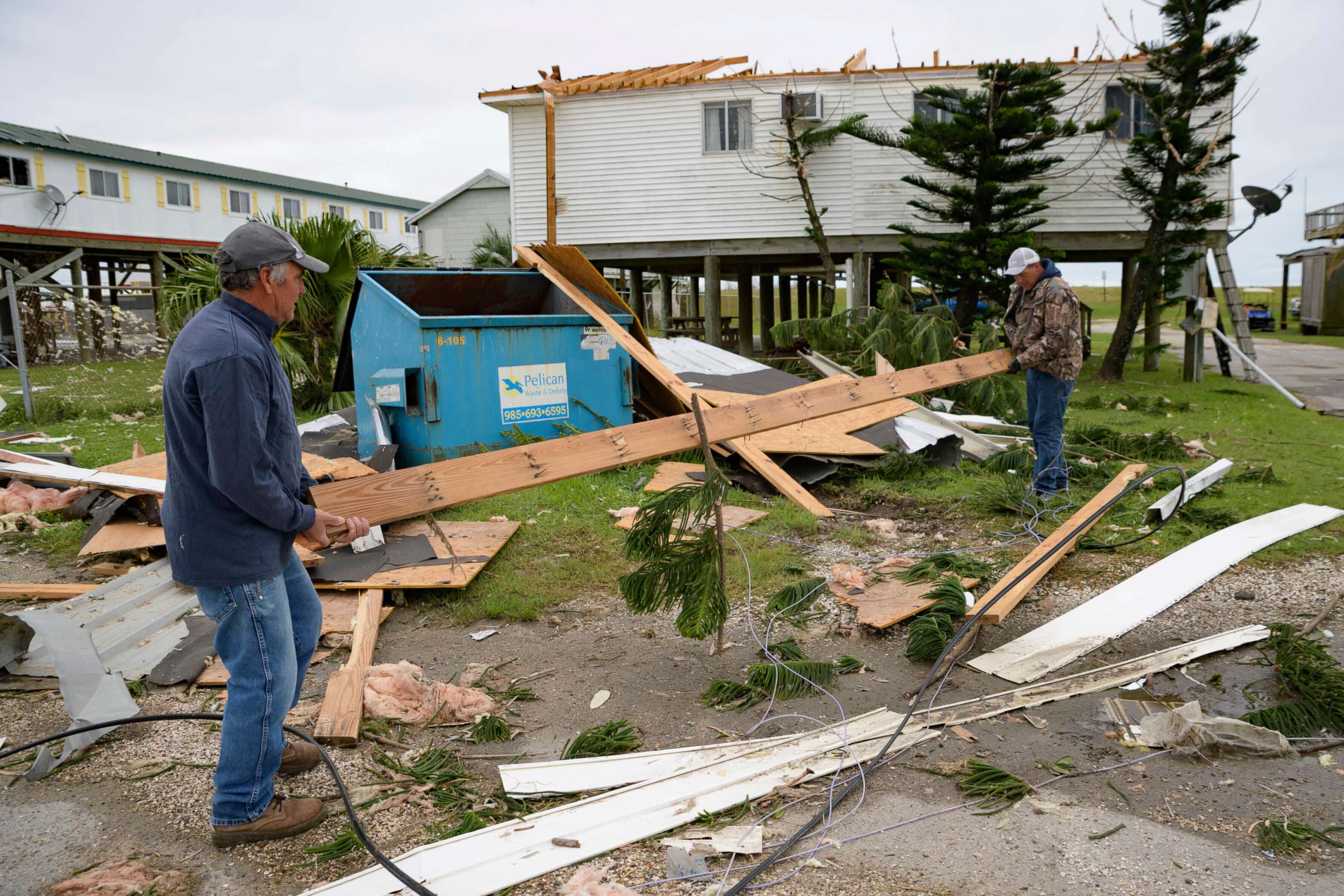
Twelve named storms made landfall in the continental U.S. last year, three more than the previous high in 1916.
Six of those were designated as hurricanes -- double what's normal -- as 2020 tied 1886 and 1985 for most hurricane landfalls in a single season. Louisiana was hit particularly hard, with five named storms making landfall, the most ever for one state.
The effects of climate change already may be evident in the behavior of recent hurricane seasons, experts said.
Rising sea levels are already adding to storm surge, making coastal communities more vulnerable, Philip Klotzbach, a research scientist at Colorado State University's Department of Atmospheric Science, told ABC News.

A Colorado State forecast from April predicted another above-normal season, with 17 named storms, eight hurricanes and four major hurricanes with winds 111 mph or greater.
In Miami, floods that result from merely a full moon and high tide already are taking place, Klotzbach said. Although the rise is 3 to 6 feet, which may not seem like much, that amount is enough to weaken house foundations and move or wash structures away when storm surge precedes a hurricane, he added.
Warmer atmospheres also are contributing to more moisture contained within storm systems. That could cause deadly flash floods from tropical cyclones for inland areas, similar to the devastating flooding that Hurricane Harvey caused in Houston in 2017 and Hurricane Florence caused in he Carolinas in 2018, Klotzbach said.
Over the last three years, hurricanes also have tended to intensify more rapidly, which could be due to the warmer water available, which is the system's source of energy, Klotzbach said. That could mean more Category 4 and 5 hurricanes are on the horizon.
The connection between an increased number of hurricanes in recent years and climate change is a bit more complicated than some might think, Klotzbach added. Warmer ocean water does help with formation of tropical cyclones, but at the same time increased temperatures in the upper atmosphere would not be favorable for tropical cyclones to develop.


