Extreme fire danger in California, record cold and snow from Texas to Montana
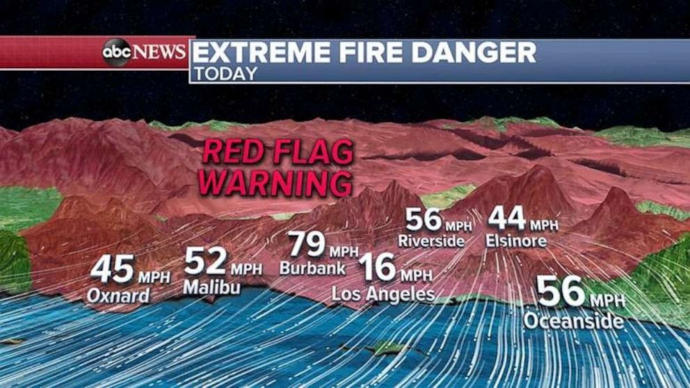
A Red Flag Warning has been issued for Southern California through Monday.
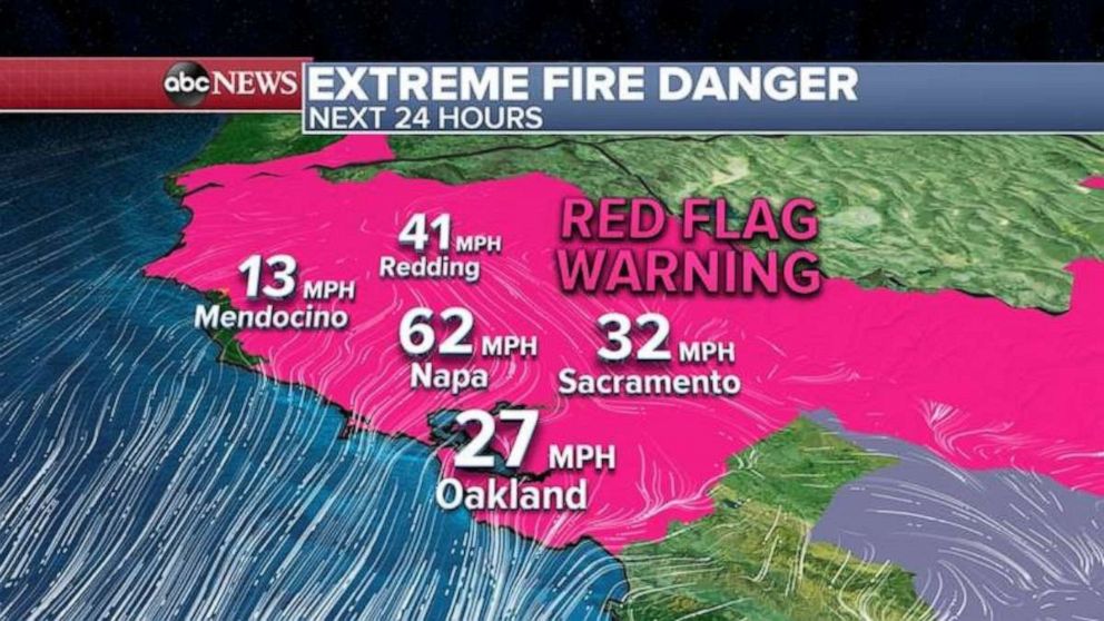
Extreme and rare fire danger is being issued for California early Monday and throughout the day.
The worst of the winds in the San Francisco Bay area were overnight and this morning with gusts reported up to near 90 mph with Oakland Airport gusting near 60 mph.
The relative humidity is down to 6 to 7% in some areas now so the combination of this along with the winds is what is making these conditions so dangerous for wildfire spread.
A Red Flag Warning continues through the morning for wind gusts of 60 to 70 mph.

In Southern California, winds have been gusty even in San Diego County where winds are as high as 68 mph.
But the real danger begins this morning and into the afternoon with winds expected to gust near 80 mph in Los Angeles County and low humidity of less than 10% will make conditions prime for rapid fire spread.
A Red Flag Warning has been issued for Southern California through today and the forecasted wind gusts in Burbank around noon today could be near 80 mph.

The extreme wind conditions in California are caused by the record cold blast in the Rockies and the central U.S.
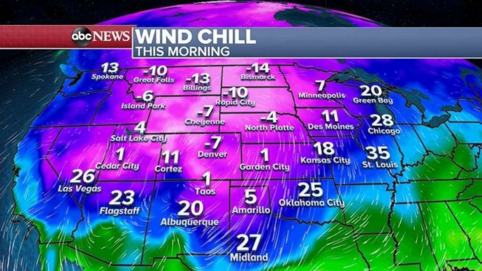
The actual temperature in Montana fell to a record breaking 29 degrees below zero, the lowest temperature measured at an official climate station anywhere in the lower 48 states so early in the season in any year.
This morning’s wind chills are in the 20s all the way to Oklahoma and the Texas panhandle.

In addition to the cold, record breaking snowfall was reported from Montana to Colorado and east to Minnesota over the weekend where some areas got up to 25 inches of snow.
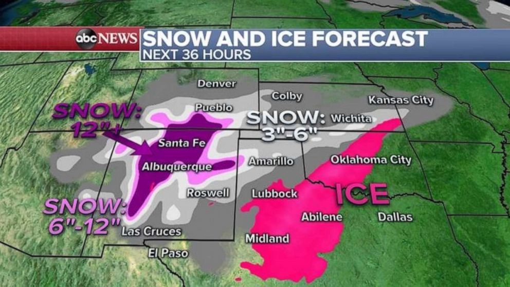
The snow and ice now shifts into the southern Rockies and southern Plains where a Winter Weather Advisory has been issued for Oklahoma City and a Winter Storm Warning for Abilene, Texas, where freezing rain, sleet and snow could be an issue Monday night for the area.
A Winter Storm Warning for New Mexico has also been issued and some areas could see more than a foot of snow in the next 24 hours.


