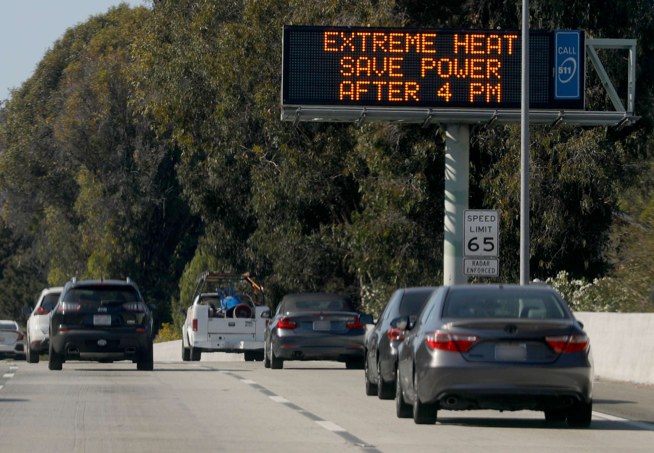
Hotter-than-normal temperatures possible for much of US this summer, NOAA says
There has already been a record warm start to 2023, meteorologists said.
Americans can likely expect summer temperatures to be even more sweltering than usual, according to the National Oceanic and Atmospheric Administration.
Hotter-than-normal temperatures are possible for much of the U.S., with all of the East Coast, the South, the West Coast and Rockies forecast to sustain scorching conditions, according to the NOAA's Summer Outlook, released on Thursday.

Overall, 2023 is likely to fall under the top 10 warmest years on record, perhaps even the top five, Karin Gleason, monitoring section chief for the NOAA National Centers for Environmental Information, told reporters during a call on Thursday.
The only regions in the U.S. that will see near normal summer temperatures will be in the Plains, the Great Lakes and the Midwest.
A large portion of the country experienced record-high temperatures to start the year, according to NOAA. Seven states on the East Coast that had its warmest start to the year include Pennsylvania, New Jersey, Delaware, Maryland, Virginia, North Carolina and Florida.
Maryland also had the driest start to the year on record, according to NOAA.

Drought conditions in the West are also expected to persist, but improve, Gleason said.
"Drought coverage and intensity have steadily decreased since October 2022," Gleason said.
Forecasts for the West favor a drier-than-normal summer, especially in Arizona, Utah, Colorado. New Mexico and western Texas, according to NOAA.
Washington, Oregon and parts of Idaho could also be on the drier side, forecasts show.

In the East, there could be more than the normal amount of precipitation. Summer is forecast to be wet and humid on the East Coast from New York to Mississippi and even toward southern Wisconsin.
Global sea surface temperature was also the warmest on record for April, which could exacerbate the effects of a strong El Nino that could develop later in the year.
A transition to El Nino is expected in the next couple of months, just in time for the peak of the Atlantic hurricane season.
El Nino tends to suppress hurricane season in the Atlantic Ocean, but due to warmer-than-normal ocean temperatures, any tropical cyclones that develop could potentially rapidly intensify.

El Nino could also bring more heavy rain to Southern California during the wet season, which will further alleviate the megadrought.
There is a 90% chance that El Nino could persist into winter for the Northern Hemisphere, which typically means a warmer winter for northern states and wetter and cooler winter for southern states.


