Over 5 feet of snow falls in New York, Pennsylvania; cold temperatures headed to Northeast, Midwest
Wind chill advisories are in effect for much of New England.
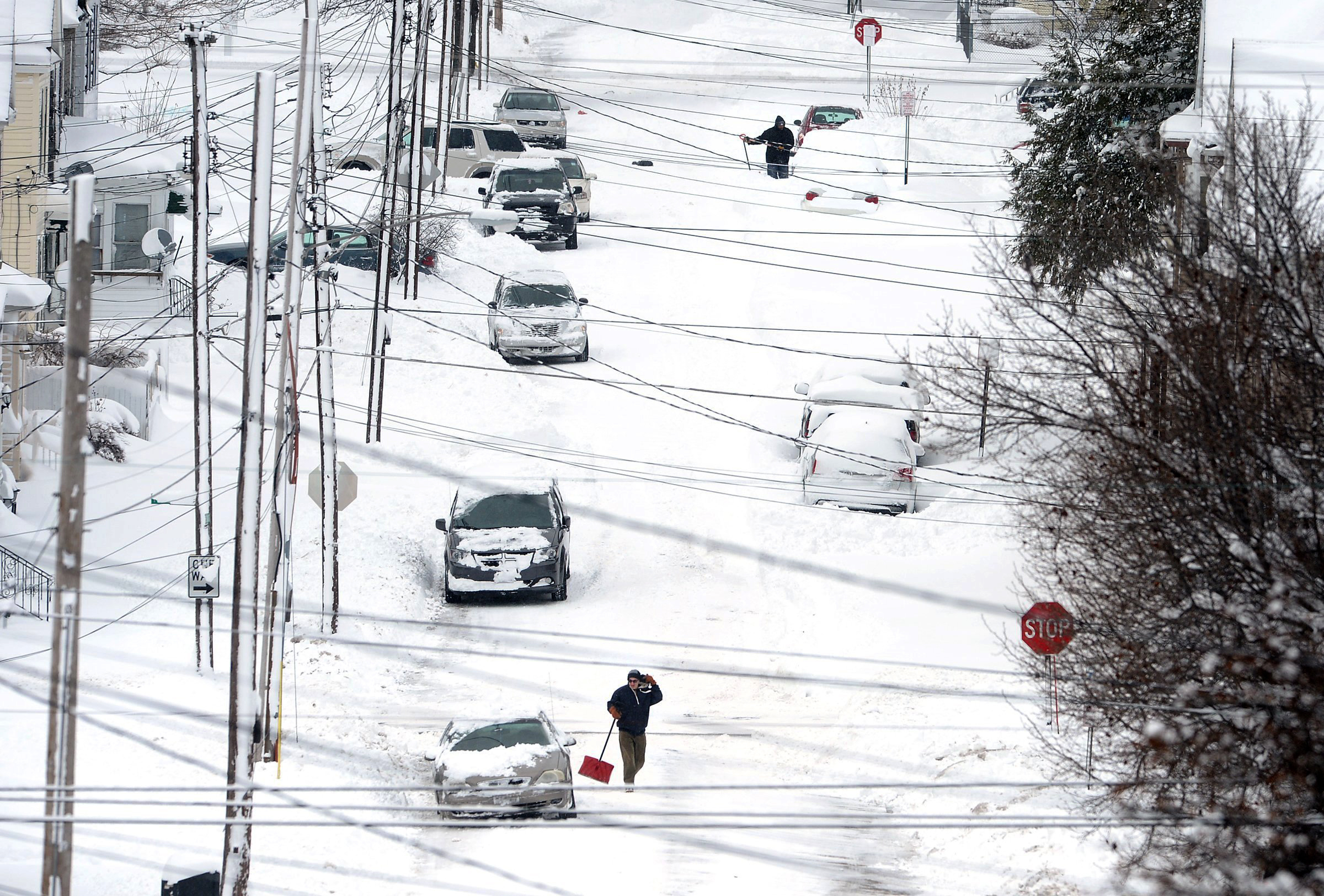
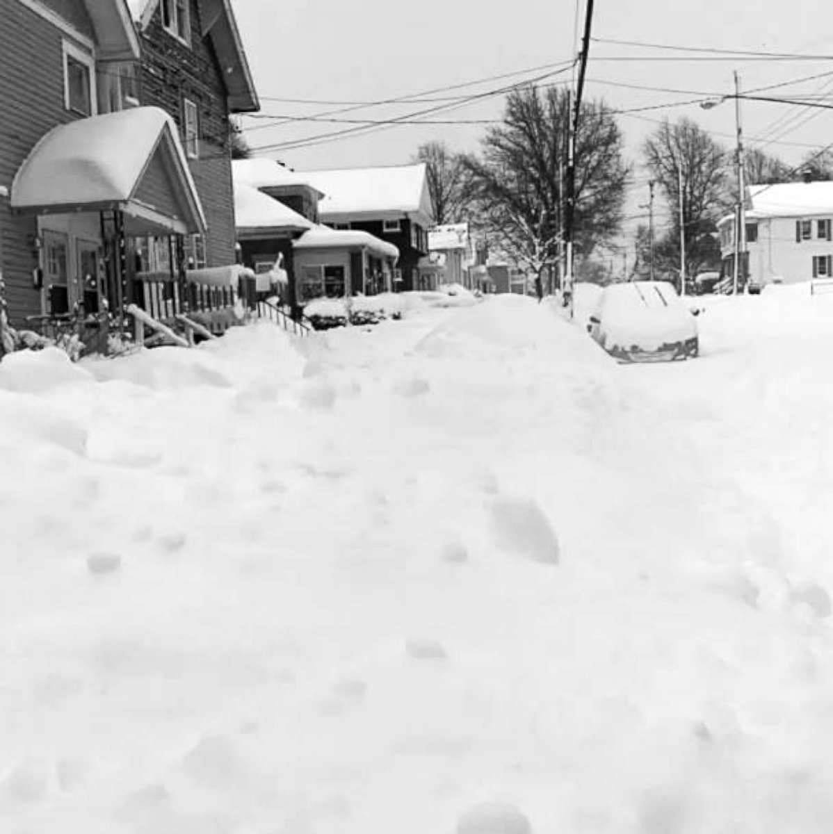
— -- Over 5 feet of snow has fallen in parts of western New York and Pennsylvania in a record-breaking lake effect snow event as bitter cold temperatures are heading to the Northeast.
The airport in Erie, Pennsylvania, has had a whopping 65.1 inches of snow from this lake effect event -- the highest snowfall total from any event on record in Erie. (Heavy lake effect snow is produced by cold Arctic air moving over relatively mild water temperatures in the Great Lakes.)
Now, with over 100 inches of snow in December, this has become Erie's snowiest month on record.
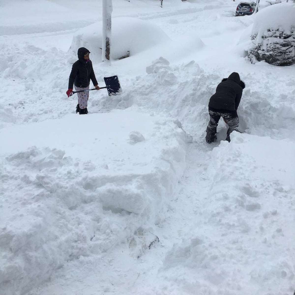
The upstate New York town of Redfield has seen 62.2 inches of snow since Christmas Day, making it the highest two-day snowfall on record for Oswego County, New York.
A state of emergency was declared in Oswego, with the mayor saying in a statement that City Hall is closed and residents should avoid traveling and parking on city streets.
In Lorraine, New York, firefighters reported that a resident was trapped in her home after several feet of snow fell in the area.
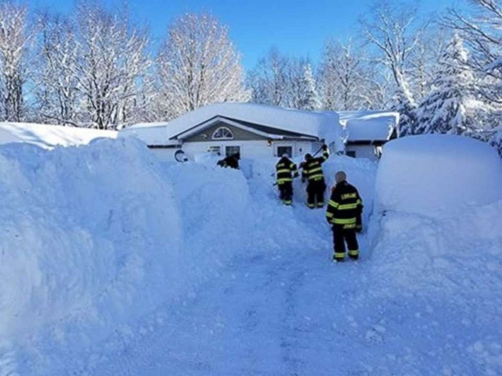
"Residents in the Town of Lorraine and Worth, please check on your neighbors," the fire department wrote on Facebook.

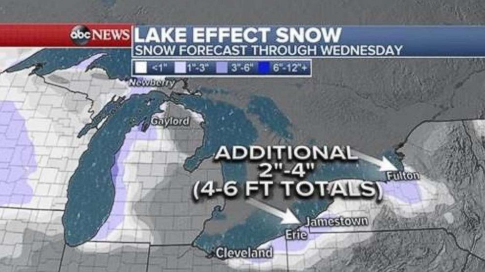
Lake effect storm warnings remain in effect this afternoon from east of Cleveland, Ohio, to Erie and to Fulton, New York.
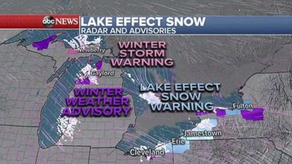
An additional 2 to 4 inches of snow is likely in western New York and Pennsylvania today, which will bring snow totals to 4 to 6 feet in some areas.
The snow is expected to wind down tonight.
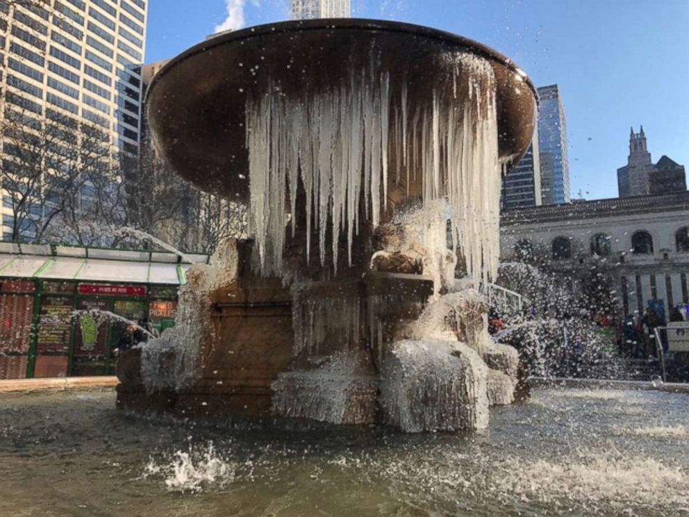
But bitter cold is coming to much of the country.
A major Arctic blast with frigid wind chills will move into the Northeast tonight.
In some of New England it will feel like 20 to 30 degrees below 0 Thursday morning, and it's expected to feel like minus-33 degrees in Burlington, Vermont.
Wind chills will even be below 0 in New York City Thursday morning.
Wind chills are expected to stay below 0 all day Thursday across New England and only reach the single digits in New York City and Philadelphia.
The bitter cold is likely to stick around in the New Year. Another widespread and major arctic blast will move across the Midwest and East over the weekend.
Sunday morning wind chills are forecast to be minus-30 to minus-40 degrees in the Northern Plains and well below 0 degrees yet again in New England. In Washington, D.C., and New York City the wind chill will be around 0 degrees.
Related Topics

Trending Reader Picks
ABC News Live