Potent storm headed to California, spring-like temperatures for Eastern US
Heavy rain of 2 to 3 inches will move into parts of Southern California.
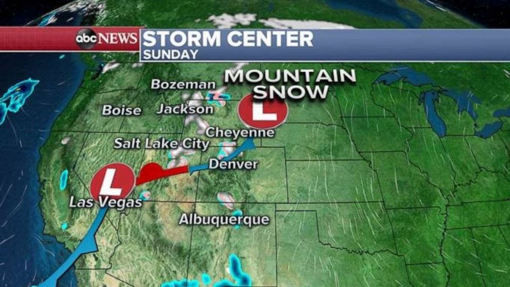
A frontal system is moving through the intermountain west after bringing some rain and snow to the Western U.S. on Saturday.
In the midst of the rainy season, San Francisco ended a 37 day dry streak and received rainfall on Saturday. While the airport itself only received .08 inches, some of the elevated areas in the Bay Area received over a half inch of rain.
Out ahead of this frontal system, dry gusty winds in the high plains caused a grass wildfire to quickly spread out of control in the Oklahoma panhandle. Residents of Beaver, Oklahoma, were encouraged to evacuate due to the rapid fire spread.

The good news is that this frontal system is moving into the Plains today and will bring some showers to the area which should help ease the fire conditions in the region. Some more consolidated heavy rain will move into the eastern Texas, Oklahoma, Missouri and Kansas on Monday.
The frontal system will reach the East Coast by Tuesday but it appears to lose its strength, and only a handful of showers appear likely at this time on the East Coast.

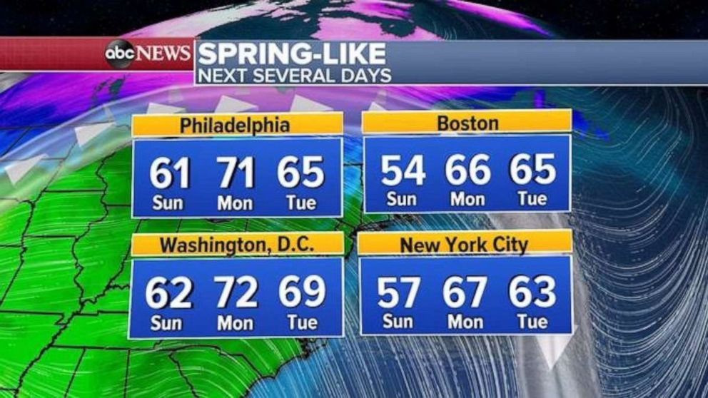
This system will also push some of the mild air that has been sitting in the central U.S. towards the East Coast. New York City, Boston, Washington, D.C. and Philadelphia all will see temperatures into the 60s and some 70’s in spots. That would be nearly 20 degrees above average for the time of the year.
Interesting to note, that the last time it was above 65 degrees in New York City was very recently on Jan. 11 and 12, with 69 and 68 degrees respectively.

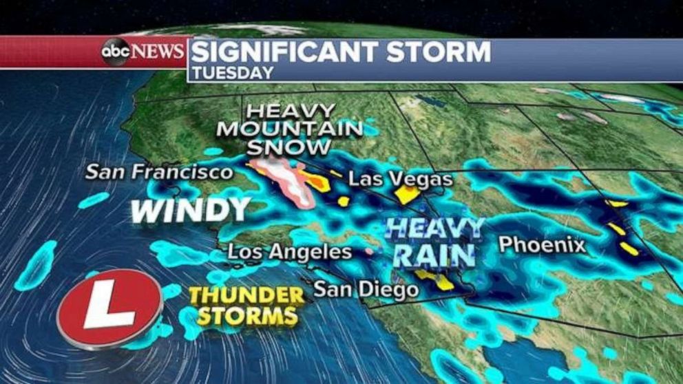
Meanwhile, attention turns to a significant storm headed for California and the Southwest U.S. beginning late Monday and lasting into Tuesday and Wednesday.
Heavy rain will move into parts of Southern California, and locally 2 to 3 inches will be possible. Higher amounts of rainfall will be possible in the hills and therefore mudslides could be a concern in spots. Winds will likely gust up to 45 mph and there could be some thunderstorms as well.


