Rain, wind likely for much of East this weekend
A storm system moving into the Midwest will bring heavy rain.
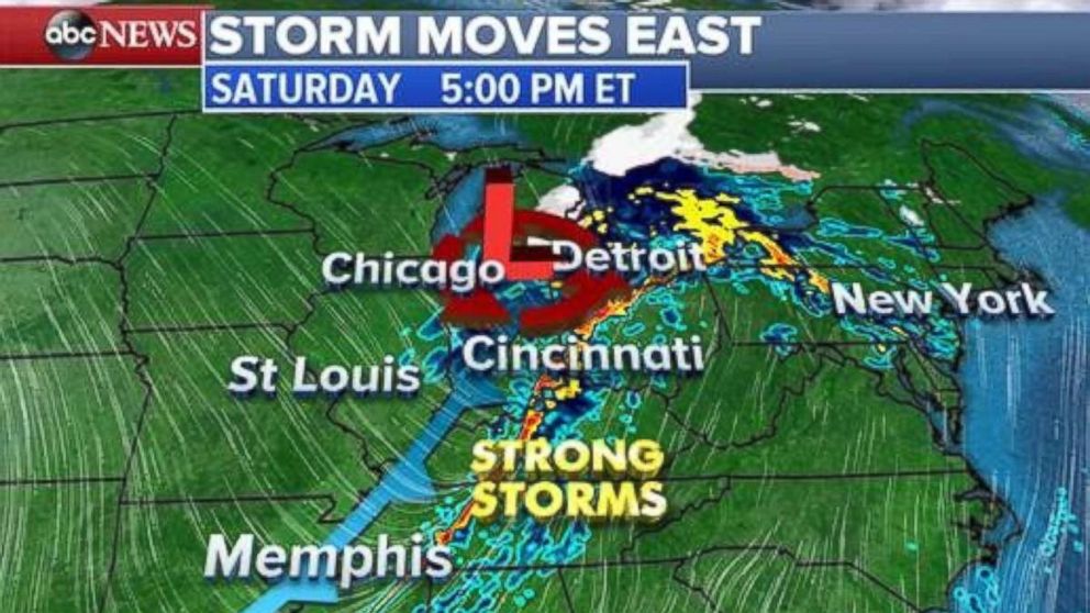
— -- The weather system that has already brought flooding rains to the Northwest and heavy snow to the Rockies is moving into the Midwest on Saturday with the Northeast to follow.
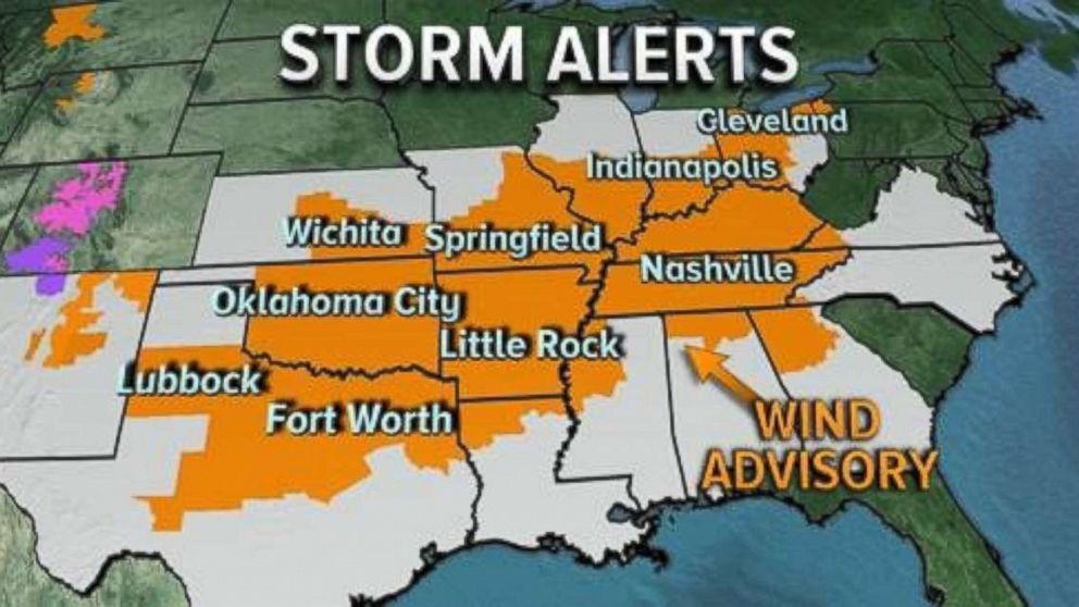
A wind advisory is in effect from Texas to Ohio as wind speeds can be expected from 20 to 30 mph with gusts over 45 mph. These gusts are high enough to cause tree limbs to fall, which may lead to scattered power outages.

This system is expected to bring periods of heavy rain to the Midwest on Saturday afternoon and through the evening hours. Some areas ahead of the cold front could bring damaging winds and small hail in the afternoon and early evening hours.

Into the East
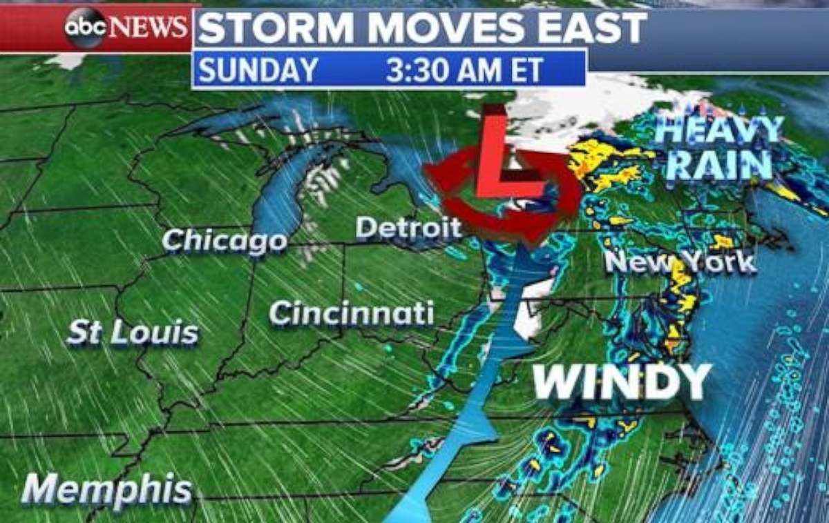
The front moves on to the East Coast and Northeast by Sunday.
The bulk of the rain from Washington, D.C. through Boston will pass during the overnight hours Saturday into Sunday Morning. Wet and windy conditions will likely impact airports at major hubs like Washington, New York, Philadelphia and Boston, as well as make for slick driving conditions on the roads.
On the back end of the storm, gusty winds from the northwest will remain and bring some lake effect snow showers across portions of Ohio, Pennsylvania and New York. Higher elevations east of Lake Erie and Lake Ontario could see as much as 3 to 6 inches of snow.

Cold winds
The end of the weekend and beginning of next week will bring cold winds to the Midwest and Northeast.
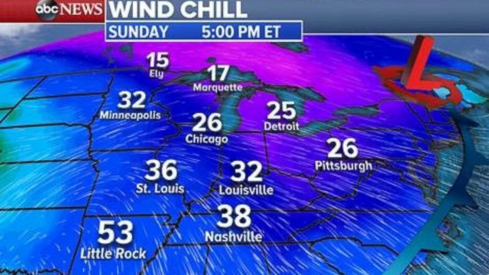
Gusty winds will continue throughout the day Sunday as cold air fills in behind the cold front. Wind chill values will be anywhere from the teens to 30s Sunday as cold and blustery conditions stretch from Marquette, Michigan all the way to Nashville, Tennessee.

By Monday, the chill moves into the Northeast to kick off the work week.


