Series of storms takes aim at Northwest, heavy rain and mountain snow expected
Cooler air moving over the Great Lakes is causing some lake effect snow.
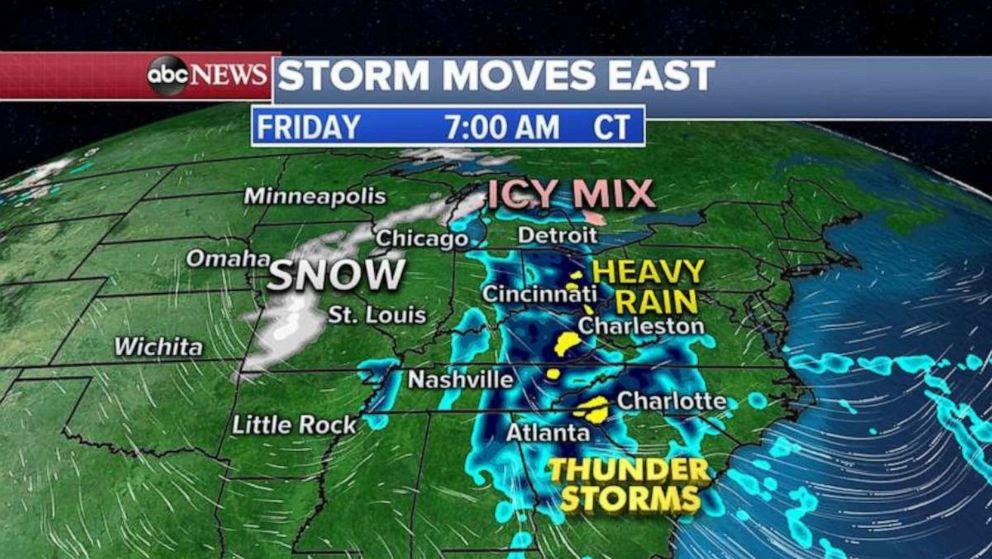
A complex storm system brought snow to parts of the Midwest and Great Lakes on Saturday, as well as very heavy rain and flash flooding to parts of the Northeast.
Nearly 6 inches of snow was reported in parts of northern Illinois and southern Wisconsin. In the northeast, nearly 1.5 inches of rain caused flash flooding in parts of Pennsylvania, especially near and around Philadelphia. Over 1 inch of rain was reported near and around the Albany region.

This morning, as the storm system heads into southern Canada, cooler air moving over the Great Lakes is causing some lake effect snow as well as snow squalls.
While all accumulations should remain minor, brief and widely scattered bands of snow could cause brief reduction in visibility, as well as slippery road surfaces.
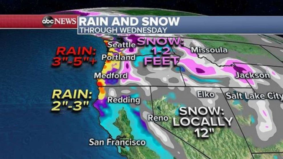
A series of storms will move into the Northwest bringing several rounds of heavy rain to the coast of Northern California to Washington State. There will also be several waves of mountain snow in the Cascades.

Locally three to five inches of rain will be possible along the immediate coast through Wednesday. In the mountains, locally one to two feet of snow will be possible in the higher elevations.
Some parts of Washington State, including Seattle, are currently over 130% to as high as 185% of their January precipitation total.
Currently, with rain expected through the end of the month, a couple of spots in the region could end up with one of their wettest January months on record, or it could end up near a record number of rain days for January.

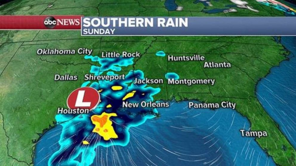
Meanwhile a weak system is moving through the South today and will bring areas of rain to parts of the region. This system quickly moves east and falls apart on Monday.
Another system will arrive in the South on Tuesday and bring a similar area of rain to parts of the Gulf Coast.
All of this could result in a couple inches of rain over the next few days, especially in parts of Texas and Louisiana.
Much of the nation is looking rather quiet which is somewhat notable given the time of year we are in. The next organized weather system looks to be at the end of this week in the eastern U.S. However, it remains unclear what extent a potential system would have.


