New storm to bring severe weather to the Heartland
This storm also brought large hail and thunderstorms overnight to the Plains.
The first of two storms has moved through the Rockies and the Heartland bringing up to 5 inches of snow for Chicago’s southern suburbs and 1 to 3 inches at Chicago’s airports.
This storm also brought large hail and strong thunderstorms overnight to the Plains and to the South this morning.
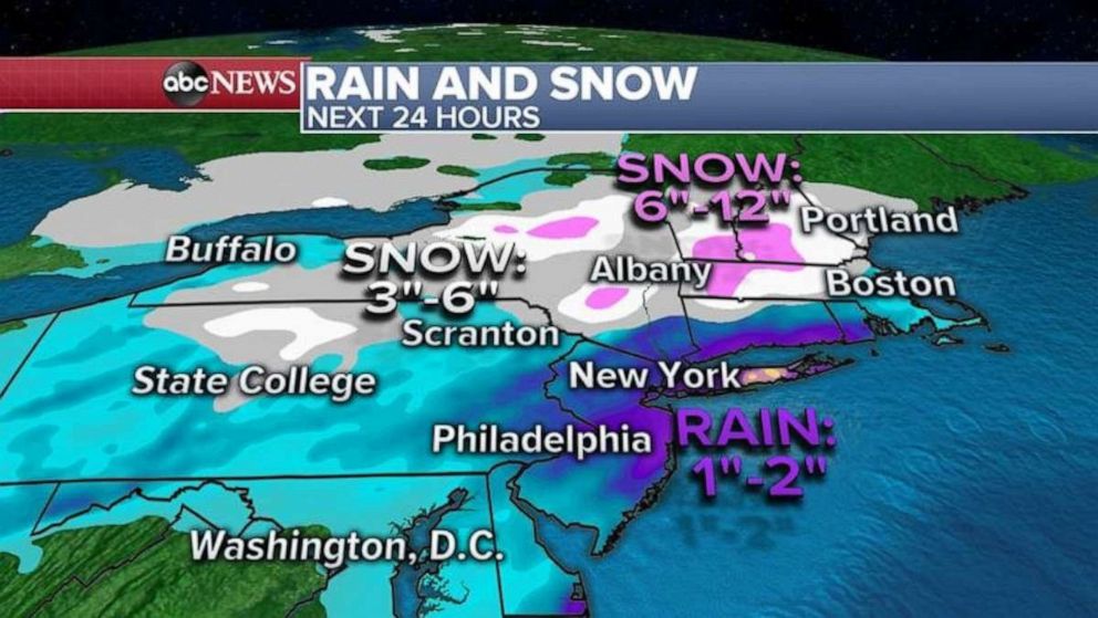
Now this storm will move into the Northeast with heavy rain for the I-95 corridor from Philadelphia to New York City and Boston with heavy snow from northern Pennsylvania to upstate New York and into New England.
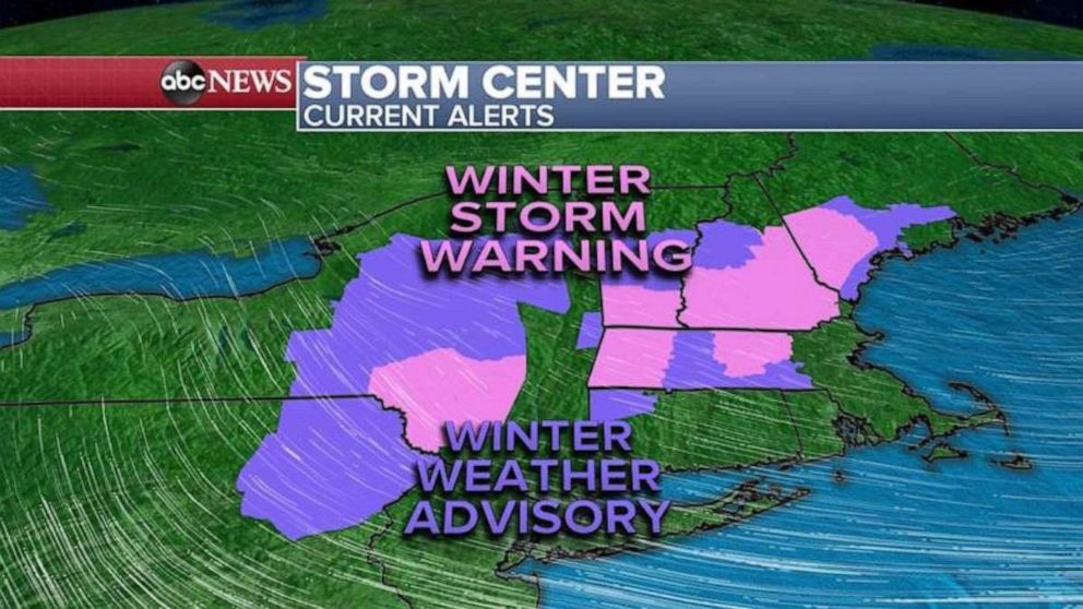
This morning, eight states from West Virginia to Maine are under a Winter Weather Advisory and Winter Storm Warning.

Here is how much snow will fall in the Northeast, away from the coast, as most areas will see 1 to 4 inches with higher elevations getting 6 to 12 inches meaning winter is back for some.
Along I-95, from Philadelphia to New York City, New Haven and into southern Rhode Island, some areas could see up to 2 inches of rain.

Also, a new storm is moving into California with rain for the Los Angeles and San Diego areas with snow in the Southern California mountains.
This storm will quickly move across the Rockies during the day bringing several inches of snow there as well.
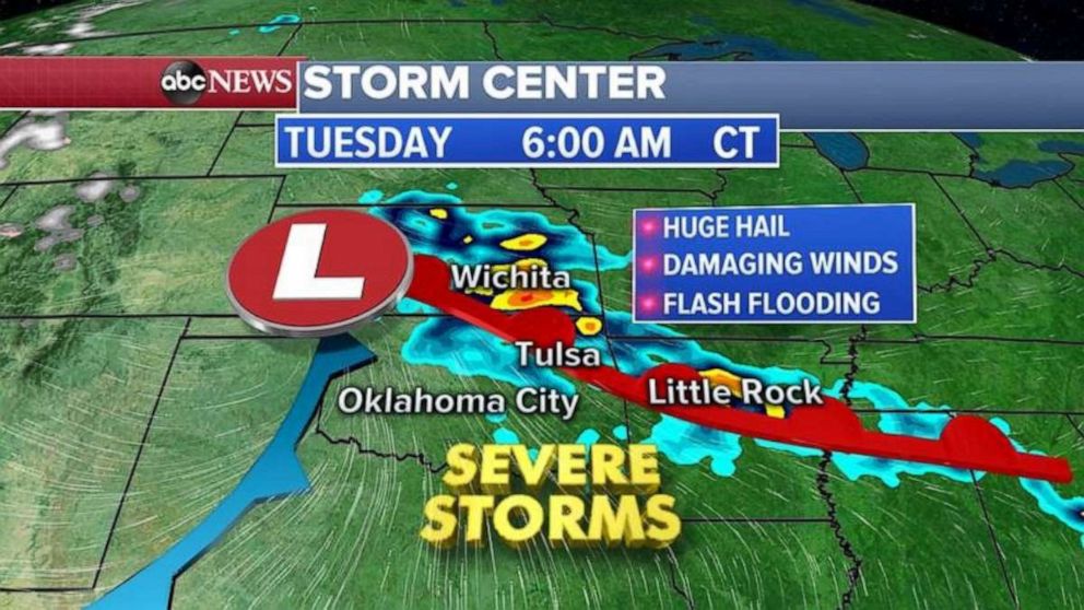
By tonight into Tuesday morning, a western storm system will form east of the Rockies and bring severe weather to the Plains and parts of the South.
The biggest threat with these severe thunderstorms will be large hail, damaging winds and flash flooding. Cities in the path of these storms will be Wichita, Tulsa, Oklahoma City and into Little Rock.


