Storms converge on East Coast as huge warm up expected across Midwest, Northeast this weekend
Finally, the severe storms have moved out of the South.
Finally, the severe storms have moved out of the South, where they produced up to 7 inches of rain and caused flash flooding for parts of the Carolinas and Georgia. Some streets in downtown Charleston, South Carolina, were impassible Thursday due to heavy rain.
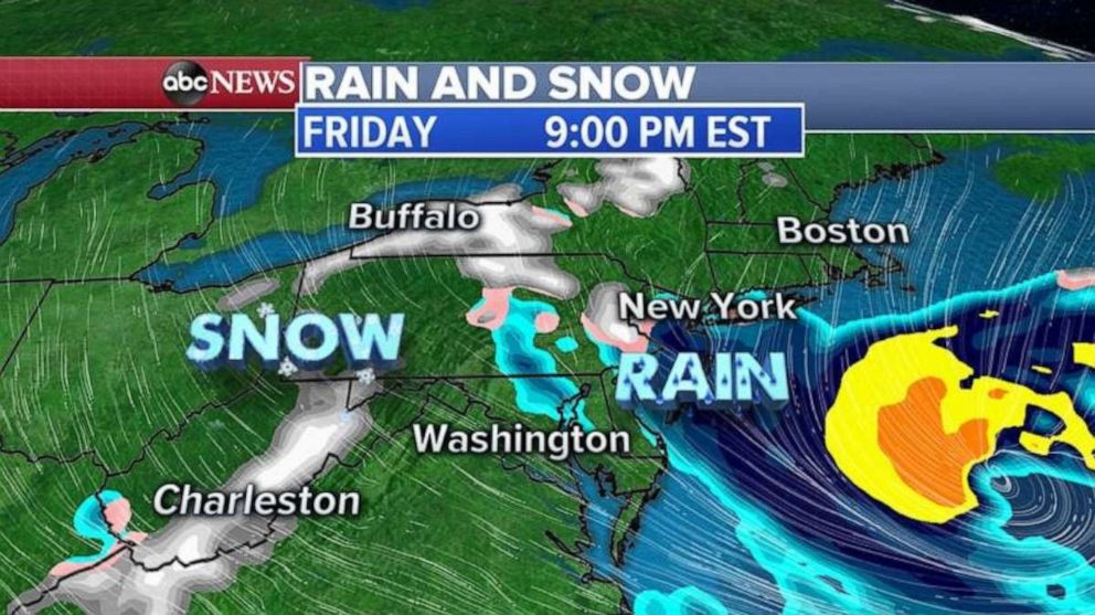
This same southern storm will now move along the East Coast and join with another storm coming out of the Great Lakes, which will bring a chance for rain and snow to the Northeast and parts of the East Coast.

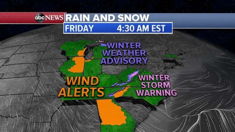
Friday morning, as these storms come together on the East Coast, 11 states are under wind and snow alerts, from Wisconsin to Georgia and up to Massachusetts.
Both storms will combine by Friday evening in the Northeast, forming a stronger storm off the coast. This new storm system could bring a brief period of snow for West Virginia, North Carolina, parts of southeast New England and eastern Long Island.

In the mountains of West Virginia, some areas could see up to 10 inches of snow.
Saturday morning, snow will be ending in most areas, with gusty winds expected on the East Coast. Some gusts could reach 65 mph in coastal Massachusetts.

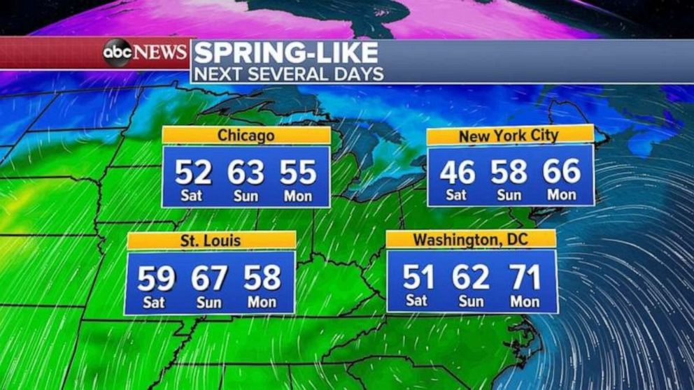
As the East Coast storm pulls away, behind it is a major spring-like warm-up with highs approaching 70 degrees in some areas across the Plains, the Midwest and the Northeast.


