Nate upgraded to Category 1 hurricane, takes aim at US Gulf Coast
The storm was upgraded late Friday night.
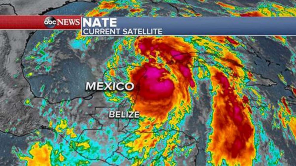
— -- Tropical Storm Nate strengthened into a Category 1 hurricane with estimated maximum winds of 75 mph, the National Hurricane Center announced Friday night.
At the time, Nate was located about 95 miles west-northwest of the western tip of Cuba and about 495 miles south-southeast of the mouth of the Mississippi River. The hurricane was moving toward the north-northwest at 22 mph, according to the National Hurricane Center.
"An Air Force Reserve Hurricane Hunter aircraft just penetrated the center of Nate and reported the hurricane-force winds," the National Hurricane Center said in an advisory late Friday night.
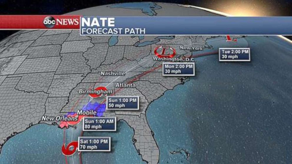
Tropical Storm Nate had gained force as it traversed the northwestern Caribbean Sea and raced past Mexico's Yucatan Peninsula on Friday night, after drenching Central America with heavy rain that caused deadly mudslides and flash floods. The storm was forecast to reach the U.S. Gulf Coast on Saturday night or early Sunday morning, making landfall east of New Orleans, Louisiana, between Gulfport and Mobile, Alabama.
Hurricane watches and warnings were already in effect for coastal areas of four southeastern U.S. states, including metropolitan New Orleans, according to the National Hurricane Center. Tropical storm warnings have extended into central Alabama, Mississippi, northern Georgia -- including Atlanta -- and the western panhandle of Florida.
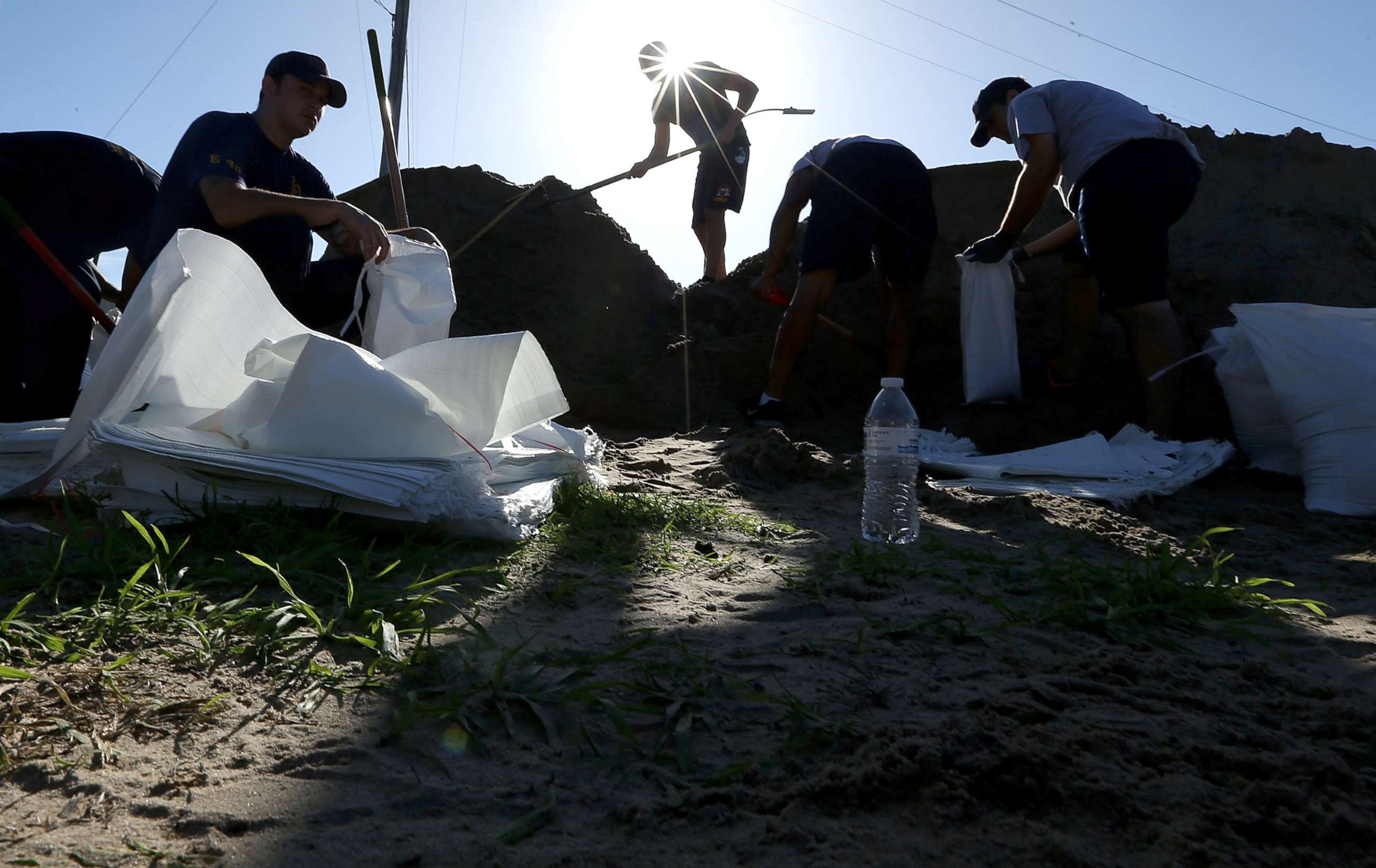
Louisiana Gov. John Bel Edwards declared a state of emergency on Thursday as the state braced for a direct hit. Edwards mobilized 1,300 National Guard troops, with 15 going to New Orleans to monitor the troubled pump and drainage system there.
In a press conference Friday afternoon, Edwards instructed Louisianans in affected areas to gather supplies now and be positioned to hunker down by 8 p.m. Saturday.
Edwards’ pre-disaster emergency declaration request for 17 Louisiana Parishes was approved by President Donald Trump on Friday, according to a statement form the governor's office. The move will help the state to more easily access federal response resources in the event they become necessary.
New Orleans Mayor Mitch Landrieu declared a state of emergency for the city ahead of the storm's approach. Landrieu warned that the areas outside of the levee protection system could see a 3-to-6-foot storm surge. A citywide curfew goes into effect at 7 p.m. Saturday.
Landrieu said officials are working "around the clock" to repair all power and pumps for the city's drainage system, which is stricken from flooding from recent rain. As of Thursday afternoon, 108 of the city's 120 pumps were working, the mayor said.
St. Bernard Parish, just 5 miles southeast of downtown New Orleans, has declared a state of emergency and issued a mandatory evacuation for residents outside of the levee system.
St. John the Baptist Parish, located 30 miles northwest of New Orleans, issued a voluntary evacuation for areas north of the Interstate 55 exit ramp, specifically Peavine, Frenier and Manchac.
The Atlantic has seen five major hurricanes -- Category 3 or higher -- during the 2017 season, two short of the record set in 2005, when seven major hurricanes hit.
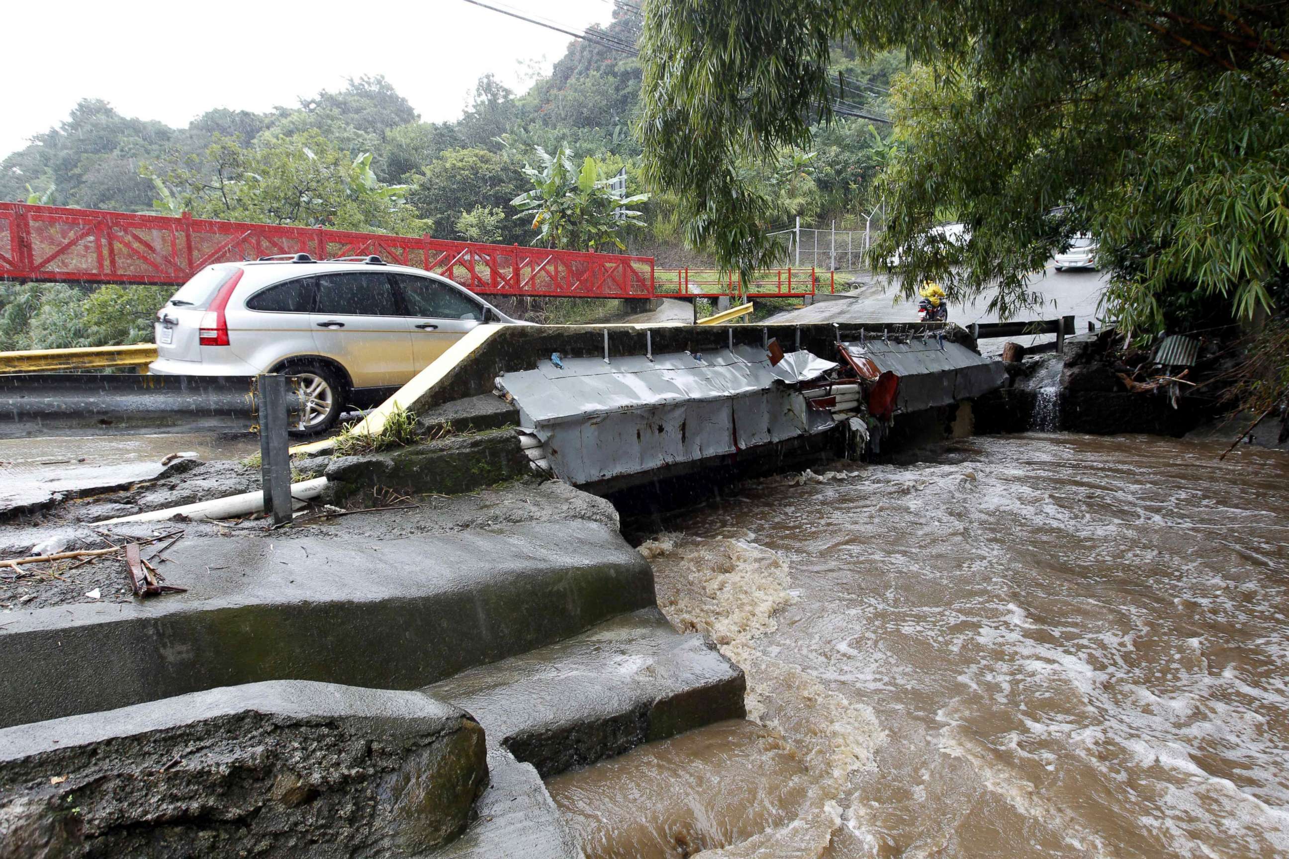
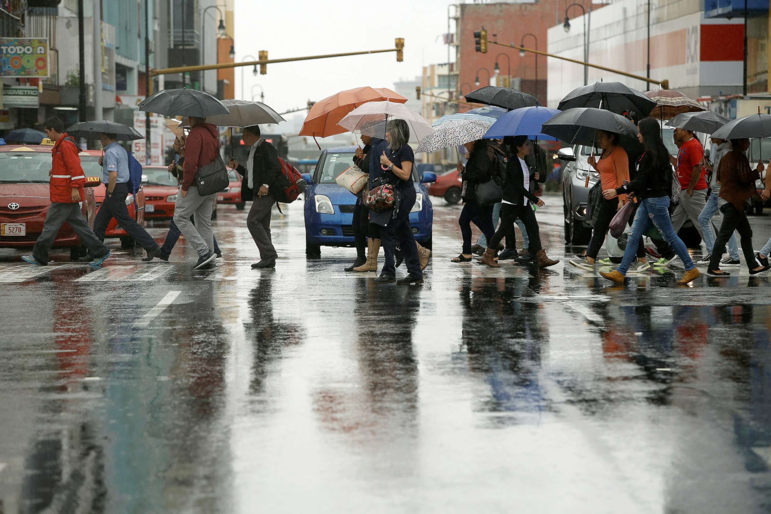
The latest weather system, dubbed Nate, strengthened into a tropical storm in the western Caribbean Sea near Nicaragua on Thursday morning. It pounded Central America with rain heavy enough to cause flash floods and mudslides that have been blamed for at least 22 deaths, including 15 in Nicaragua and seven in Costa Rica. Costa Rican officials said 15 people were missing as well, according to The Associated Press.
Some areas of Central America could see up to 15 inches of rain through the weekend due to the system, according to the National Hurricane Center.
In preparation for the storm, Mississippi Gov. Phil Bryant on Friday morning declared a state of emergency in six southern counties and issued an executive order authorizing the use of the state's National Guard.
Alabama Gov. Kay Ivey issued a statewide state of emergency that went into effect at 7 a.m. ET Friday. Ivey said that while the coast will experience the worst of the storm, Birmingham could see strong winds and rain.
Florida Gov. Rick Scott on Thursday declared a state of emergency in 29 countries.
Oil and gas companies began evacuating six production platforms on Thursday, according to the Bureau of Safety Environmental Enforcement. While one movable rig was taken out of the storm's path, no drilling rigs have been evacuated so far.
Nate could drop 3 to 6 inches of rain in states along the central U.S. Gulf Coast, with some areas getting as much as 12 inches. Tropical storm conditions and hurricane conditions are possible within the designated watch areas Saturday night.
Meanwhile, a storm surge is expected to raise water levels by as much as 4 to 7 feet from Louisiana to the Alabama-Florida border, according to the National Hurricane Center.


