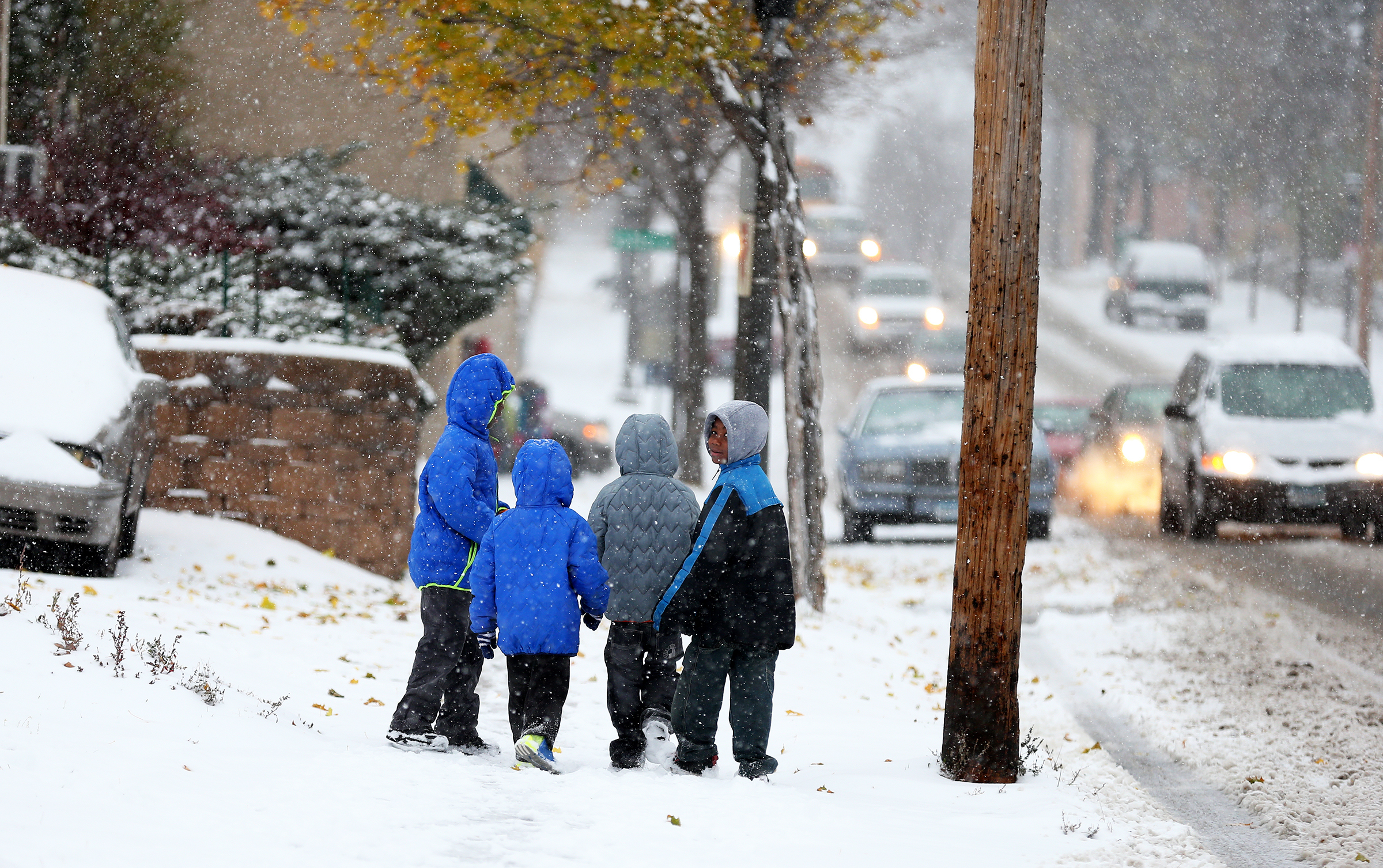
Winter Comes Early This Year for the Eastern United States
Winter officially begins in six weeks, but your temperature may say otherwise.
— -- The official start to winter is six weeks away, but it will feel like winter for most of the country this week.
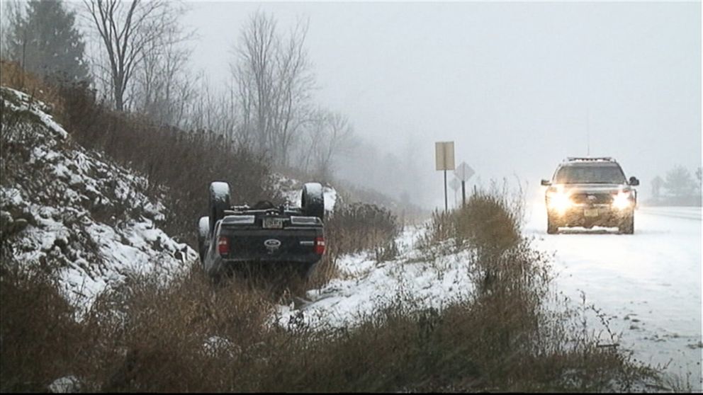
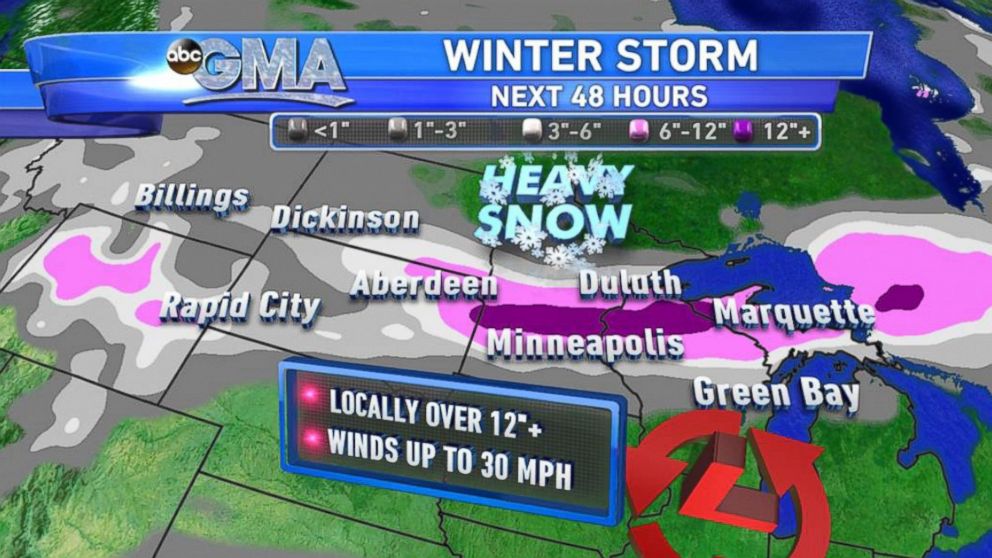
Even before the cold, the country will have to deal with snow. A low pressure coming out of Northern Rockies will strengthen into a major winter storm today in the northern Plains and western Great Lakes.
Some areas could even see one to two feet of snow. From Dakotas to Minnesota, northern Wisconsin and upper peninsula of Michigan will be in the bull’s eye.
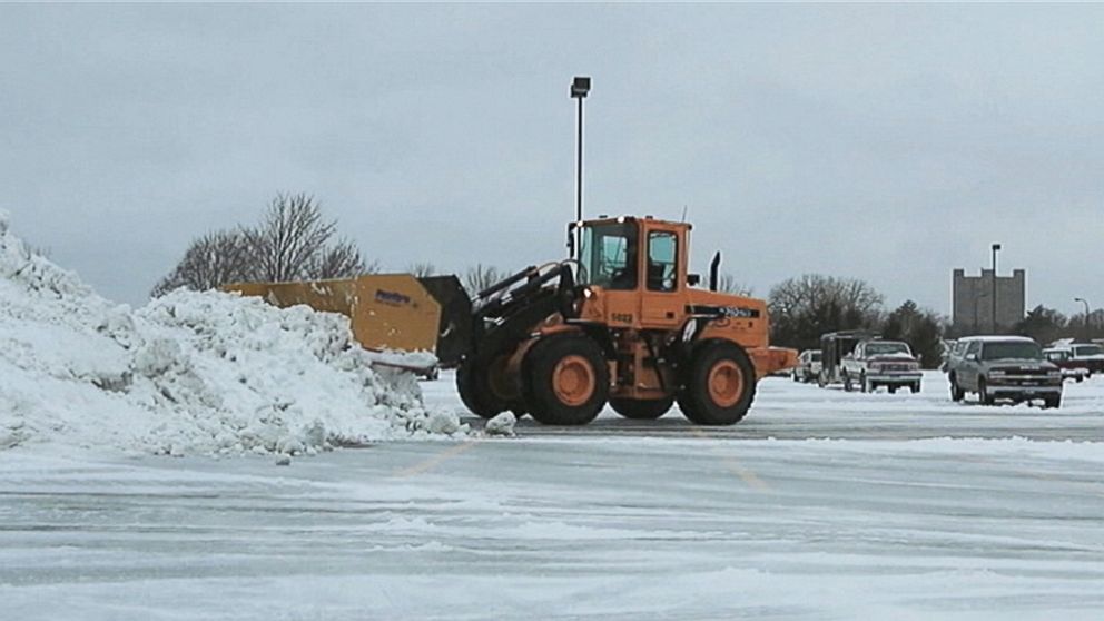
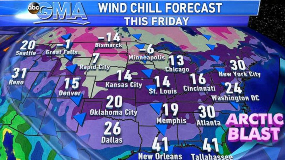
One of the major metropolitan areas in the path of this winter storm are the Twin Cities, which is forecast to receive six to as much as 12 inches of snow today into Tuesday morning. Northern suburbs could see over a foot of snow.
On average historically, Minneapolis does see about 9.3 inches of snow in the month of November. The record for single-day snowfall in November in Minneapolis is 18.5 inches, which was November 1, 1991. That snow fall was part of two-day blizzard that ravaged the areas for two days, bringing a total of over two feet of snow in the Twin Cities.
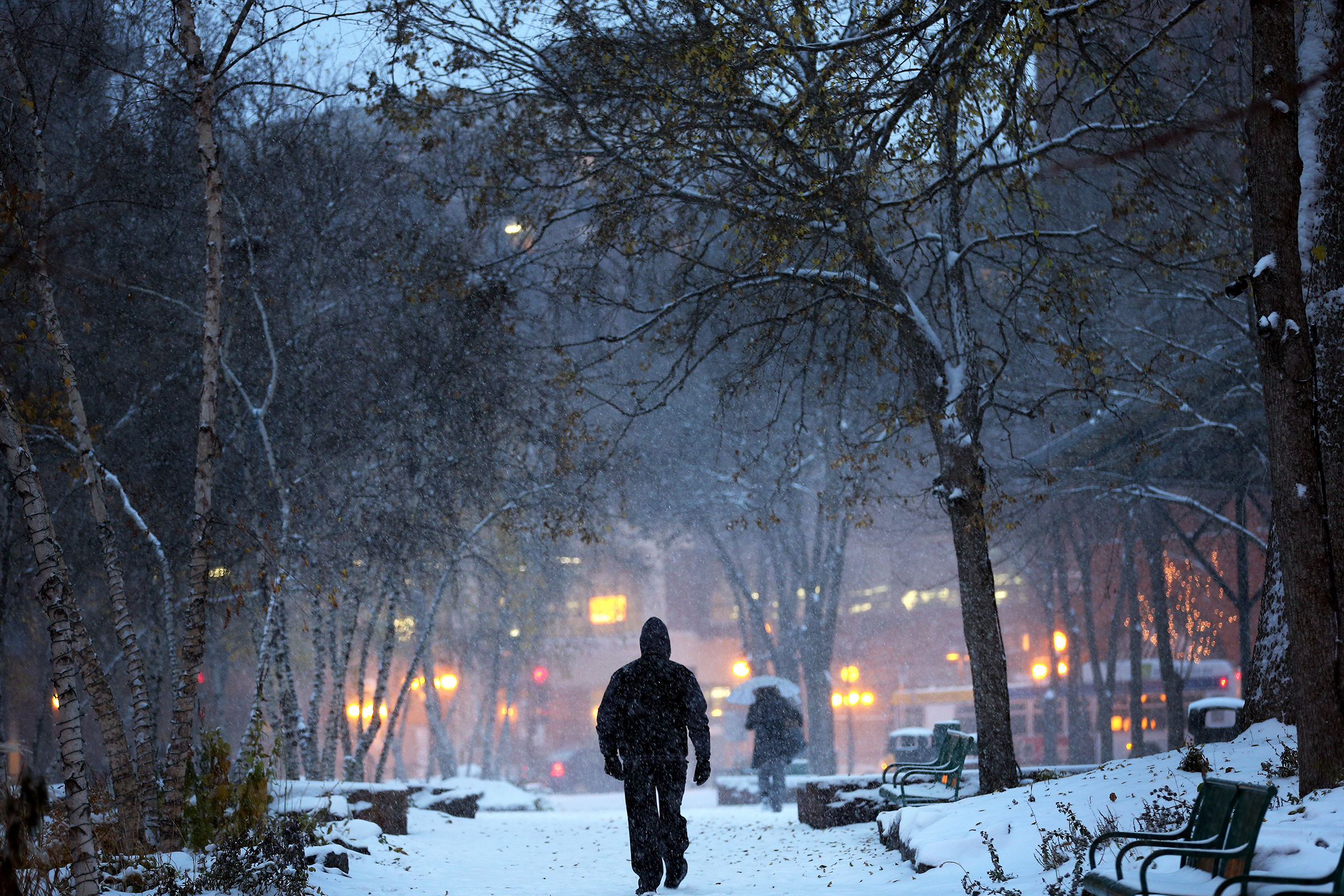
Behind this snowstorm will be the unseasonably cold air that will cover most of U.S. by Friday. Temperatures are forecast to be up to 25 degrees below normal for some.The U.S. has not seen this cold air this widespread and this early in the season since mid-90s. Guess, what? It is here to stay for weeks. Reinforcing shots of arctic air will arrive every four to five days into the Midwest and move south and east eventually.
What's the good news for the East Coast? The the arctic front will modify significantly as it moves east toward the relatively mild Atlantic coast. The cold front will reach the coast by Thursday morning, dropping temperatures up to 10 degrees below normal. This cold air is not that unusual in the Northeast for this time of the year. For example, the average first freeze of the season in New York City is Nov 11. This year, it looks it will happen next weekend, which would be only slightly behind schedule.
The cold air will even reach Texas and the Gulf Coast.
Dallas is expected to get its first freezing temperature of the year Tuesday night and again Thursday night. On average, Dallas experiences its first temperature at 32 degrees or lower after Nov. 22, so this freeze will be about 10 days earlier than normal.
Does this early cold blast mean we will have colder and snowier winter for the Midwest and Northeast? Not necessarily, as weather patterns do change eventually and polar air will return to the arctic.

Popular Reads
ABC News Live