Winter storm moving East with heavy snow
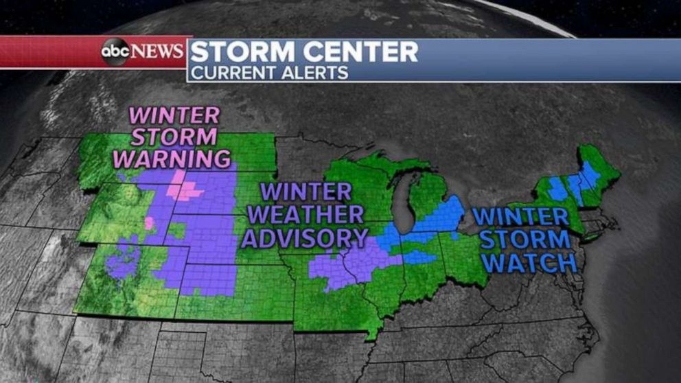
17 states are now on alert for heavy snow from Colorado all the way to Maine.
A complex storm system is strengthening in the Heartland and will be moving east over the next two days.
This storm system already brought up to 13 inches of snow with whiteout conditions to Colorado yesterday and partially shut down I-70.
As the storm moves east, 17 states are now on alert for heavy snow from Colorado all the way to Maine.
A Winter Storm Watch continues for Chicago and now has been issued for Detroit, which could see the heaviest snow in the region.

This morning, a couple of low pressure systems are trying to join together and are bringing heavy snow to the western Plains and heavy rain to the Southeast coast.
Later today and into Wednesday morning, heavy snow will breakout just south of Chicago into central Illinois, northern Indiana and into southern Michigan, roughly from Peoria, Illinois, to South Bend, Indiana and into Detroit.
With the new computer models coming in this morning, it looks like Chicago will miss most of the snow with Detroit becoming the new target. This could rival the biggest snowstorm of the season for Detroit which was 7.3 inches back in January.
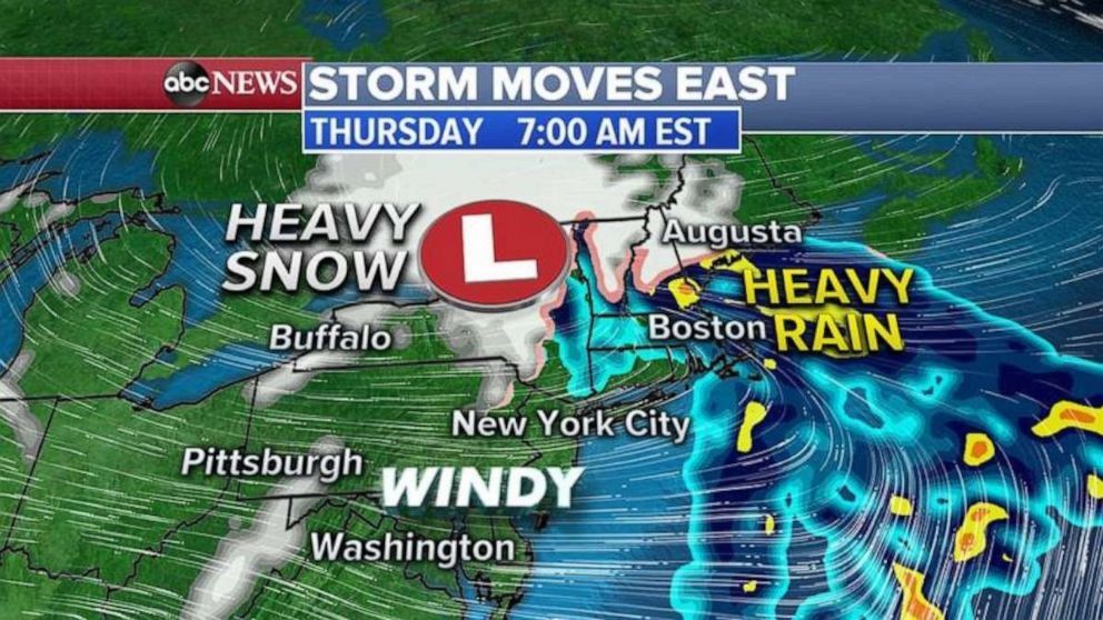
For the Northeast today, rain will move into the I-95 corridor from Washington D..C. to New York City and Boston with snow in western New York and into New England.

By Wednesday night, however, the center of the storm moves into the eastern Great Lakes which should end the snow in the Midwest and bring more heavy rain for the I-95 corridor with heavy snow continuing in western Pennsylvania, northern New York and into northern New England.
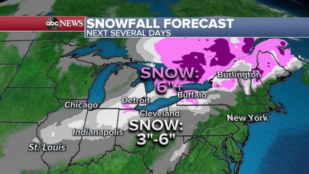
Snowfall totals will be the greatest from around Detroit to western New York and into northern New England where locally 6 to 12 inches of snow is possible.


