Chicago could receive latest snowfall in 30 years
The last time Chicago received measurable snowfall this late was May 1989.
The storm system that brought severe thunderstorms in the Mid-Atlantic and large hail in New England on Friday has moved out of the picture for the weekend.
However, a complex storm system developing in the High Plains brought strong winds and hail to parts of Colorado, Wyoming, Nebraska and Kansas on Friday and part of it is moving east.
The storm system is quickly moving into the Midwest, where heavy rain was already falling in parts of Nebraska and Iowa Saturday morning. Some of this moisture will interact with just enough cold air to bring snow across parts of the Midwest and through the Great Lakes this weekend.

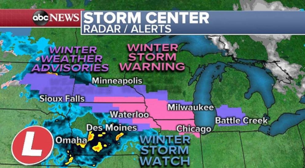
Winter weather advisories and winter storm warnings are in effect from eastern South Dakota to western Michigan, including Milwaukee and Chicago. Some of the alerts will likely expand eastward during the day Saturday.
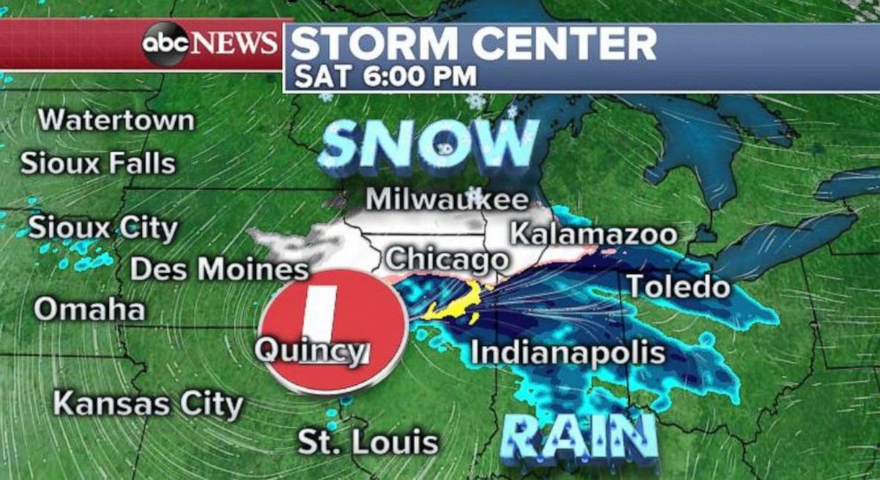
Rain will begin to change to snow later in the morning in parts of South Dakota and southwest Minnesota. As the storm quickly moves eastward, snow will likely fall across Iowa, and along the border of Wisconsin and Illinois -- with bands of snow likely reaching Milwaukee and Chicago.

The rain will transition to snow in Milwaukee and Chicago during the midday hours and last into the mid to late evening. Snowfall rates during this time period will reach 1 to 2 inches per hour, with gusty winds of 35 to 40 mph.
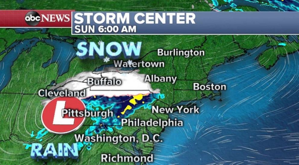
The storm will quickly move into parts of the Great Lakes overnight while a weakening band of snow is possible in parts of New York state early Sunday. Precipitation will change to rain across much of the Northeast during the day on Sunday before the storm heads out to sea late Sunday night.

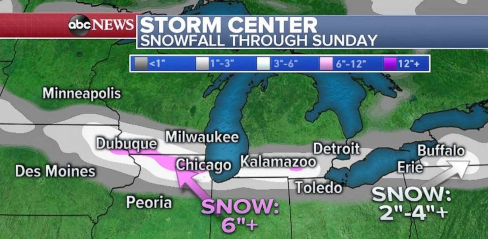
Locally, over 6 inches of snow are possible along the Illinois and Wisconsin border. Additionally, there could be some locally enhanced snow in parts of southern Michigan and western New York.
There are a couple of factors that could hold accumulations on the lower end. There will likely be a sharp cut off between heavy snow and no snow and because of marginal temperatures, the snow will be very wet. Additionally, the sun angle in late April is quite strong, and that will hamper some accumulation.
For some perspective, the latest accumulation of 1 inch of snow in Chicago was May 1, 1940. The latest total of 3 inches of snow in Chicago was April 23, 1967. And the last time there was any measurable snow in Chicago this late into spring was May 6, 1989 -- nearly 30 years ago.

Wind could become an issue on the southern side of the storm across parts of the Tennessee and Ohio valleys Saturday and Sunday morning with localized gusts over 30 mph possible.


