Saddleridge fire calms down, heavy rains on East Coast
Parts of the South could see 4 inches of rain which could cause flash flooding.
A new storm system is developing in the southern Plains and will move east over the next few days bringing a threat of flooding to the South with rain and gusty winds in the Northeast.
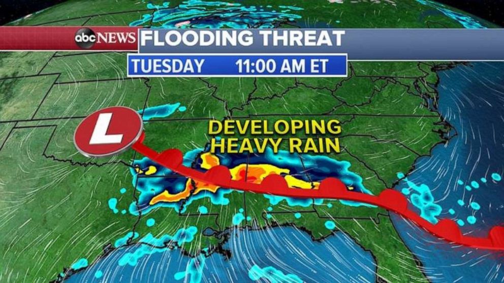
This morning, a storm system is back in the High Plains with the warm front stretching all the way through the Gulf Coast. Some rain will develop along this warm front today and get heavier into tonight and tomorrow.

On Tuesday morning, the center of the storm system will move into the southern Plains as the warm front lifts north from the Gulf of Mexico bringing lots of tropical moisture to the area, this will result in heavy rain moving over the same areas from Louisiana to Georgia.
In the next 48 hours, parts of the South could see up to 4 inches of rain which could cause flash flooding in some areas.

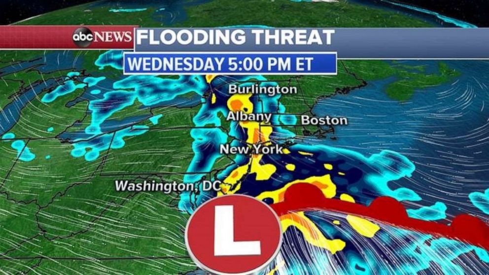
By Wednesday, the storm system will move up the East Coast and could combine with another storm system to bring heavy rain and gusty winds for the Northeast from Washington, D.C., to New York City and Boston. Flooding is not expected but this could change.
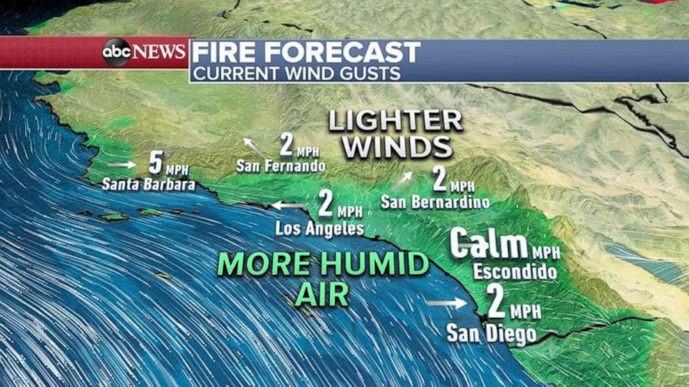
Winds are finally subsiding in southern California and humidity is moving up the coast.
Because of better weather conditions over the last 24 hours, firefighters were able to get a better handle on the Saddleridge Fire in the San Fernando Valley.
The Saddleridge Fire is now 42% contained with nearly 8,000 acres burned. All evacuation orders have been lifted.
All red flag warnings and wind alerts have expired because of higher humidity and lower wind speeds.
The green area in the map below shows higher humidity all over the coast, even in inland areas with light winds.


