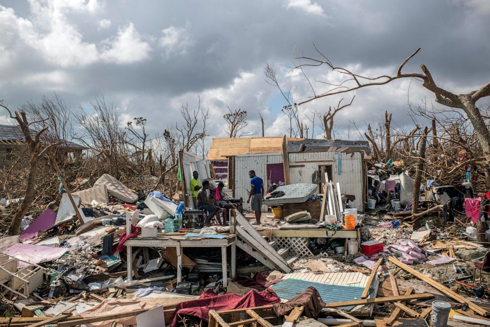
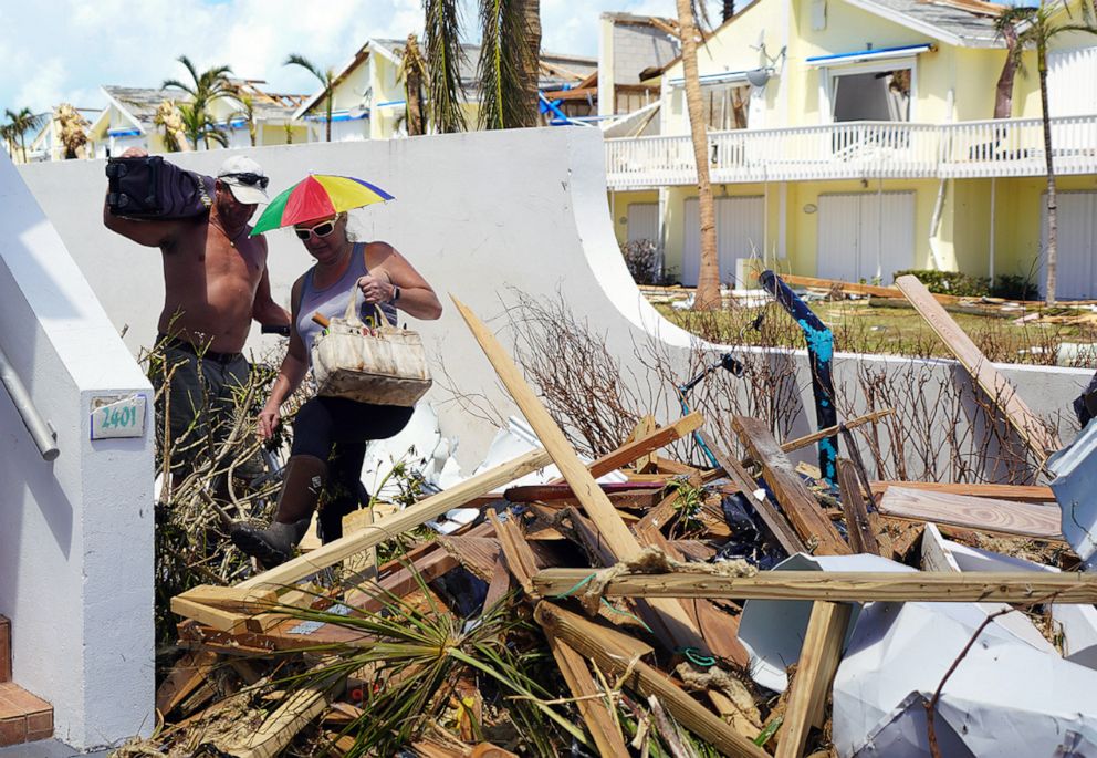
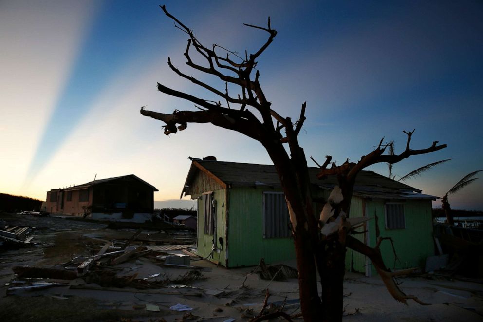
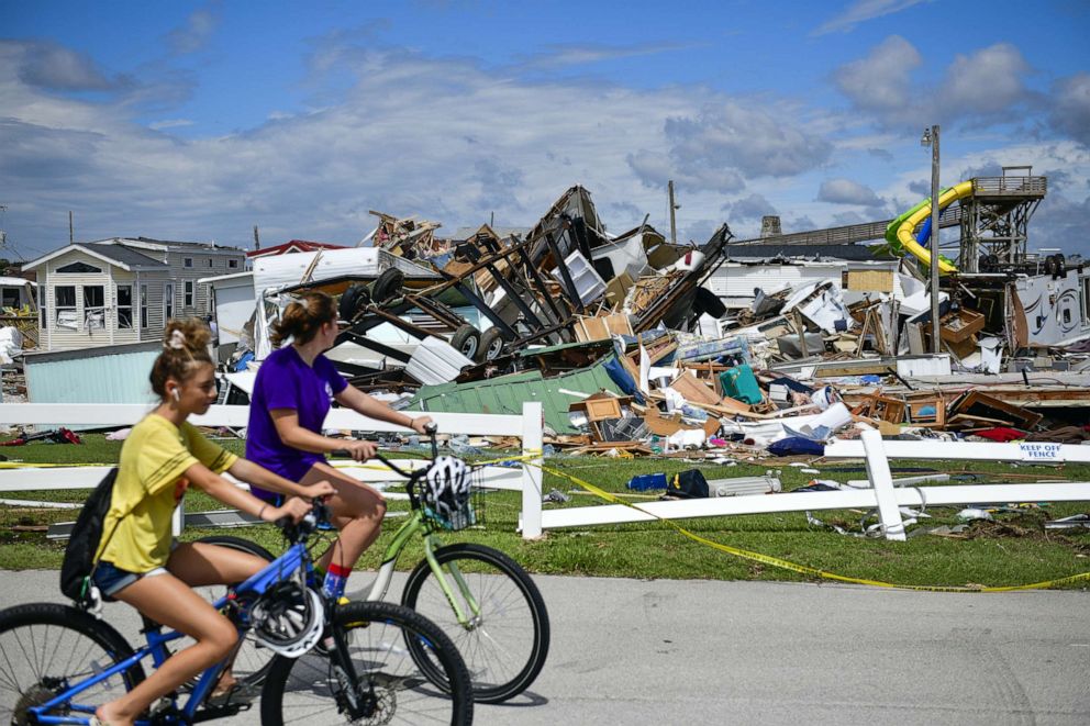
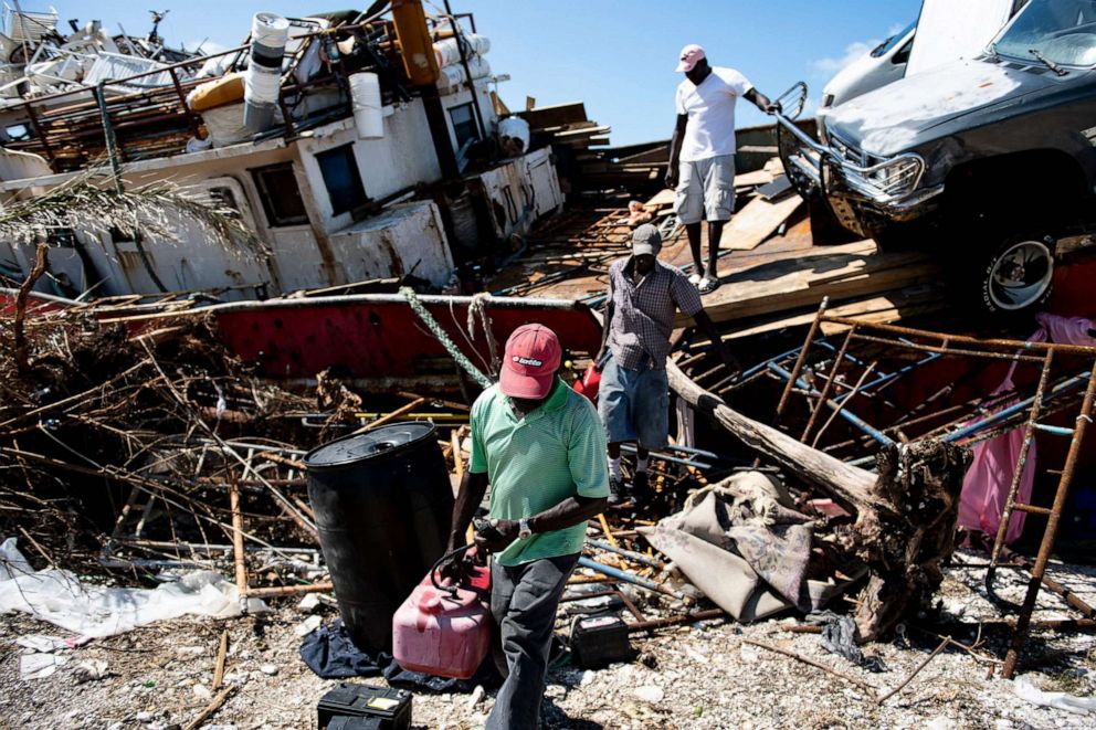
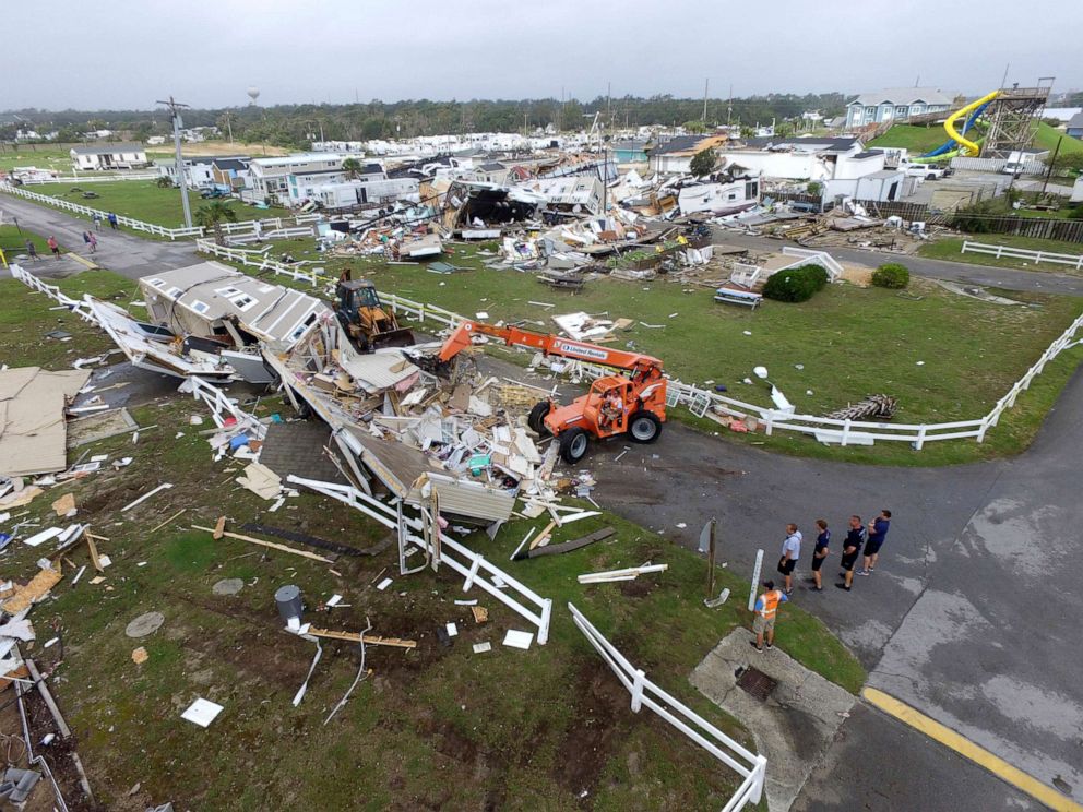
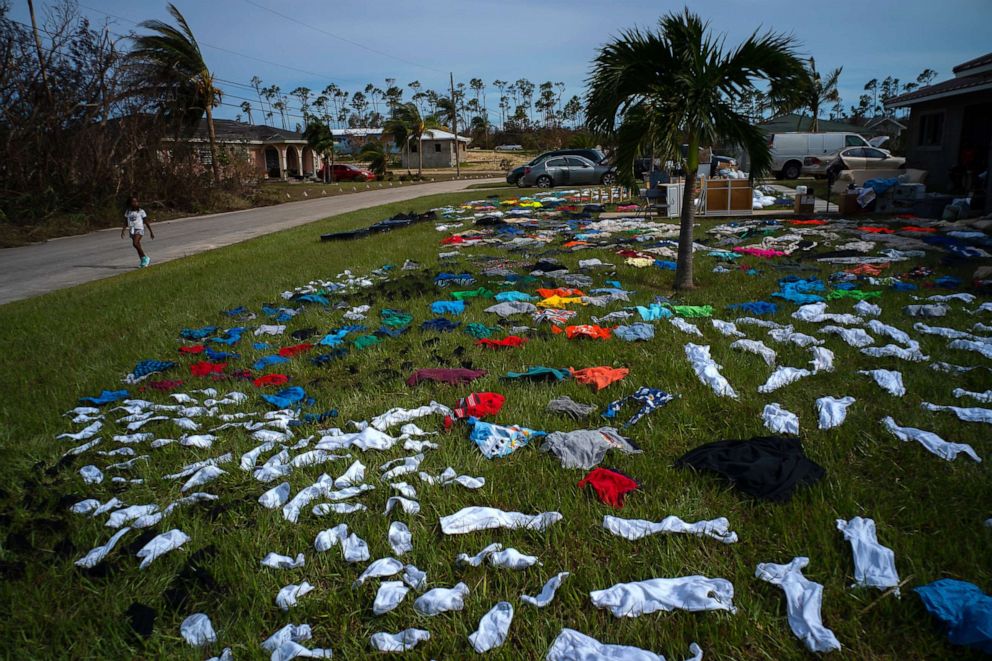
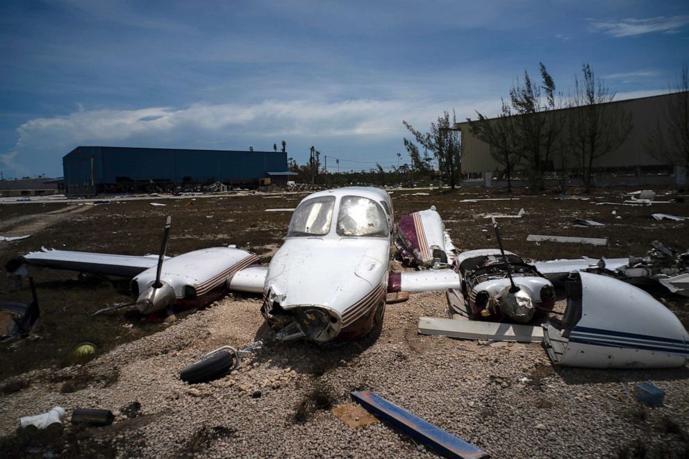
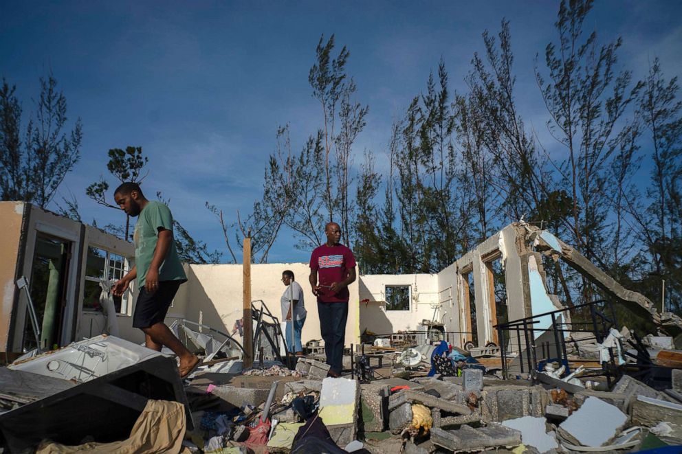
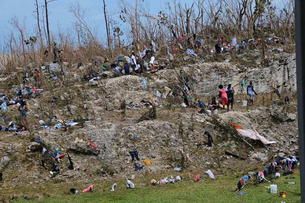
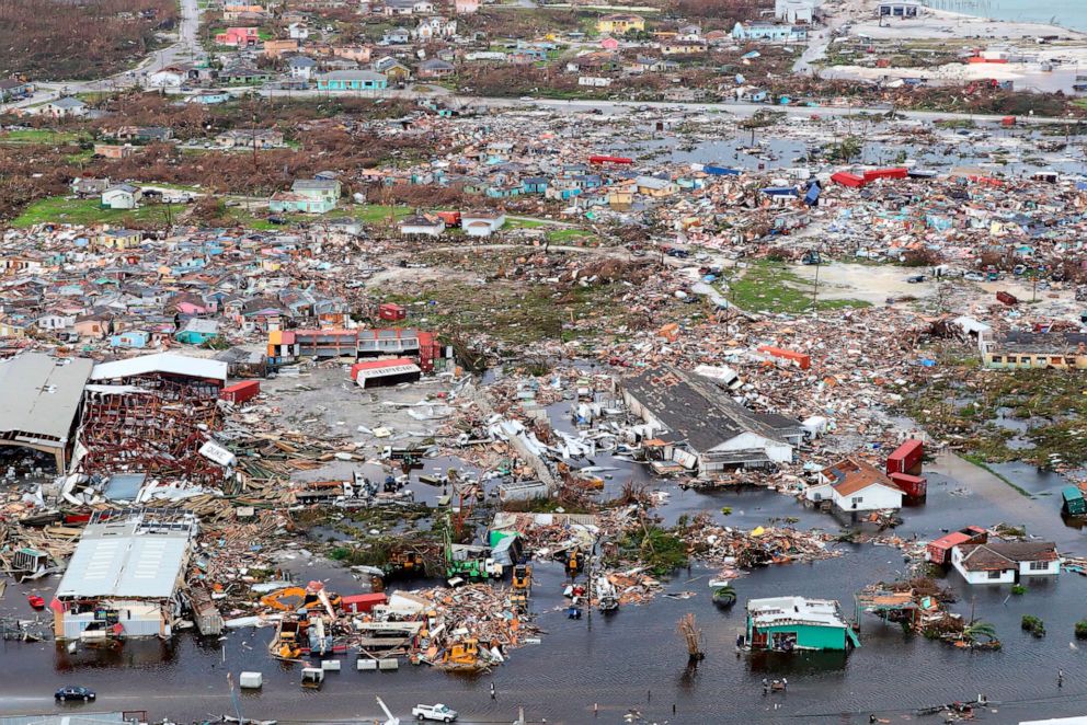
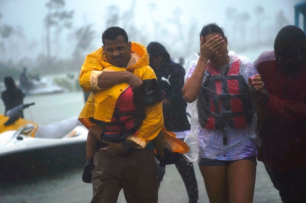
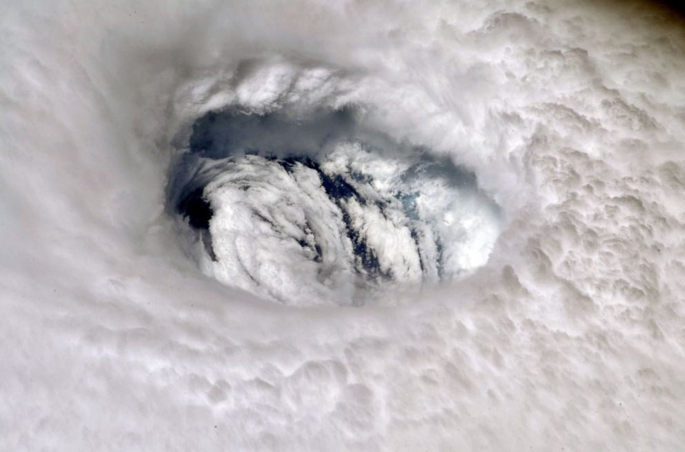
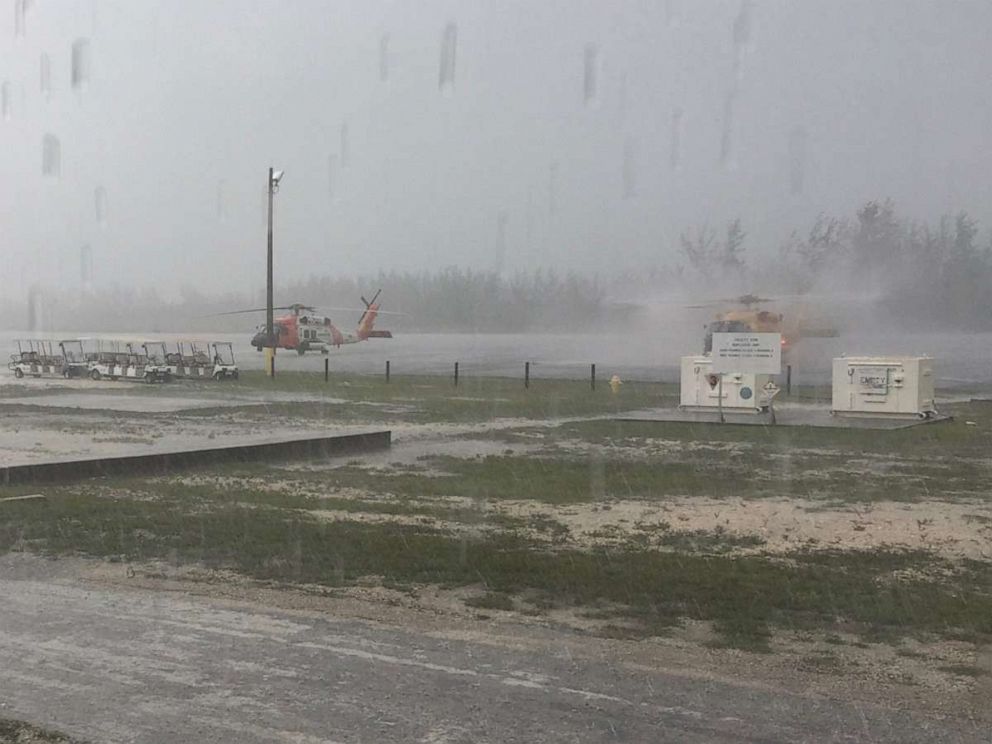
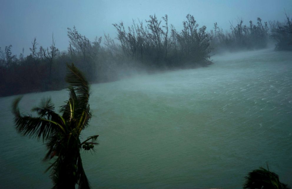
Early aerial images show the devastating impact of Hurricane Dorian on the Bahamas. The strongest Atlantic hurricane landfall on record destroyed buildings, brought floods and ripped apart roadways.
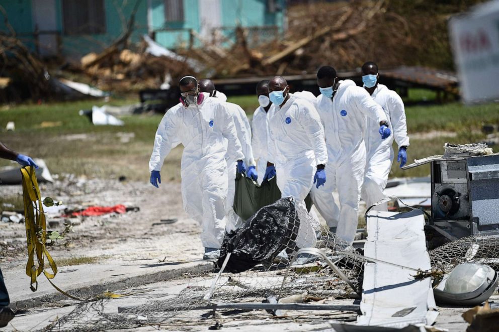
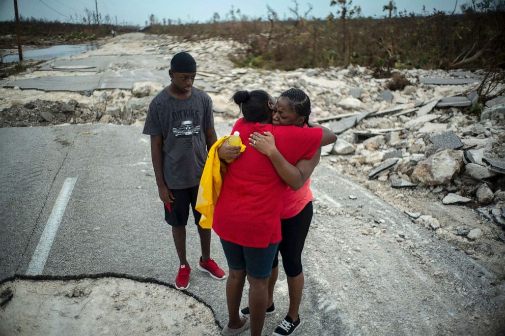
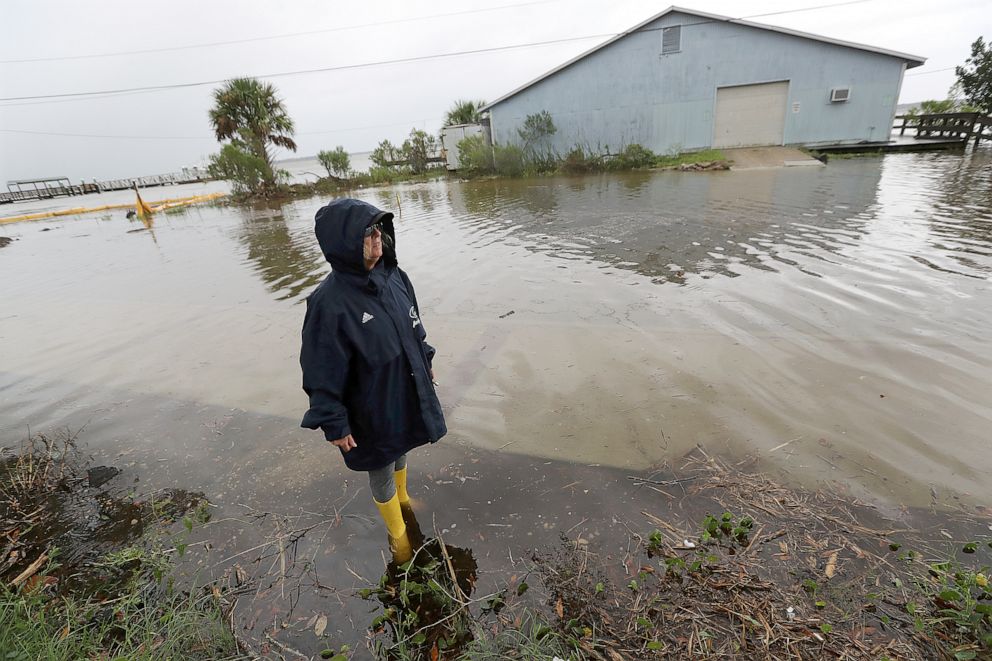
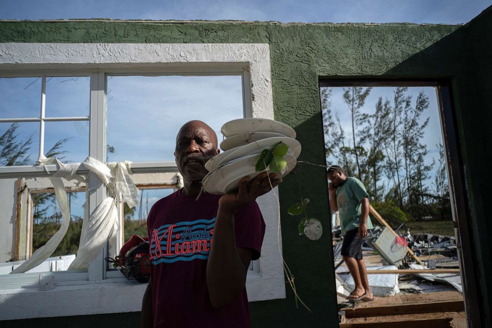
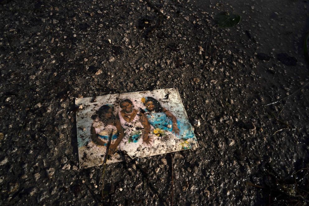
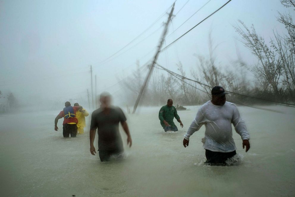
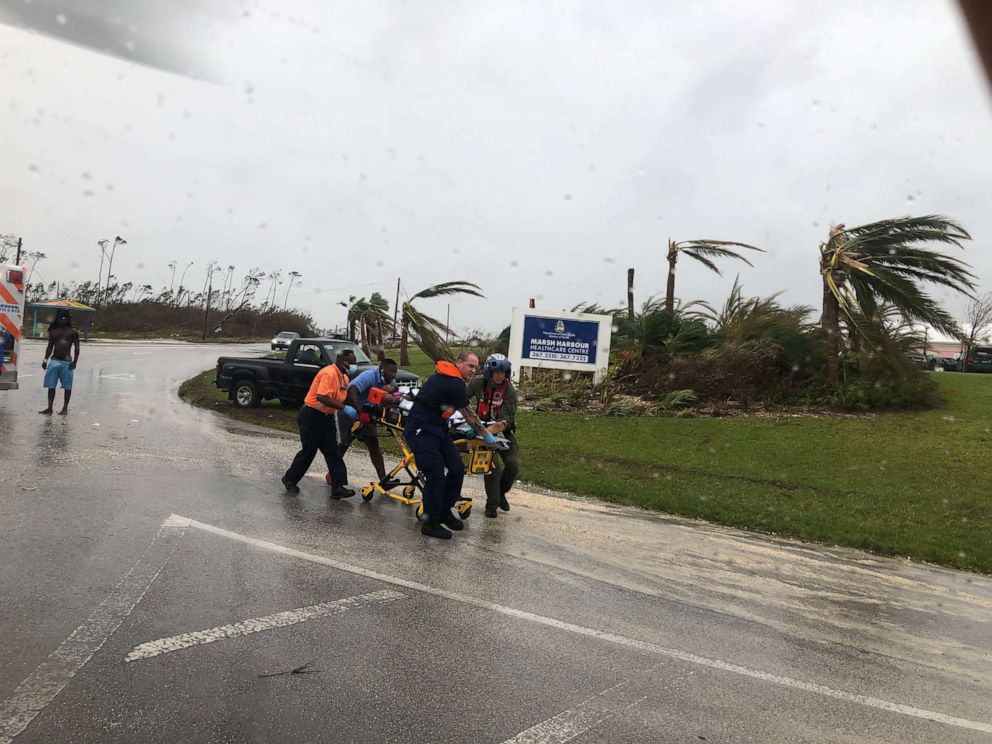
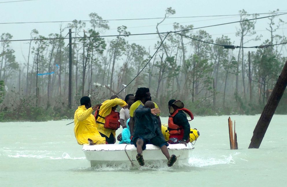
Rescue personnel are attempting to assess the damage and reach the most vulnerable victims, yet many areas remain inaccessible.
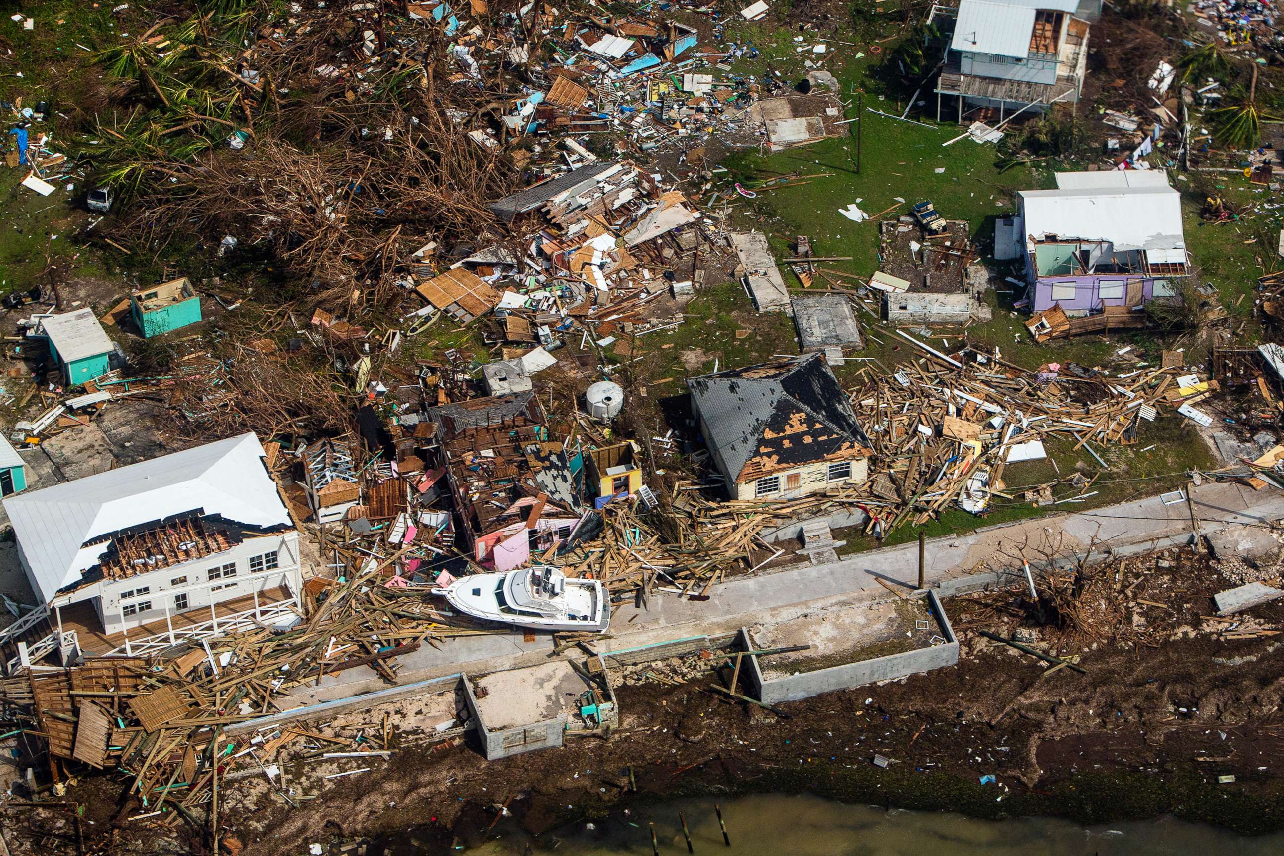
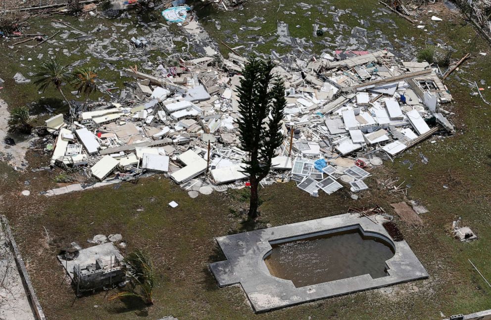
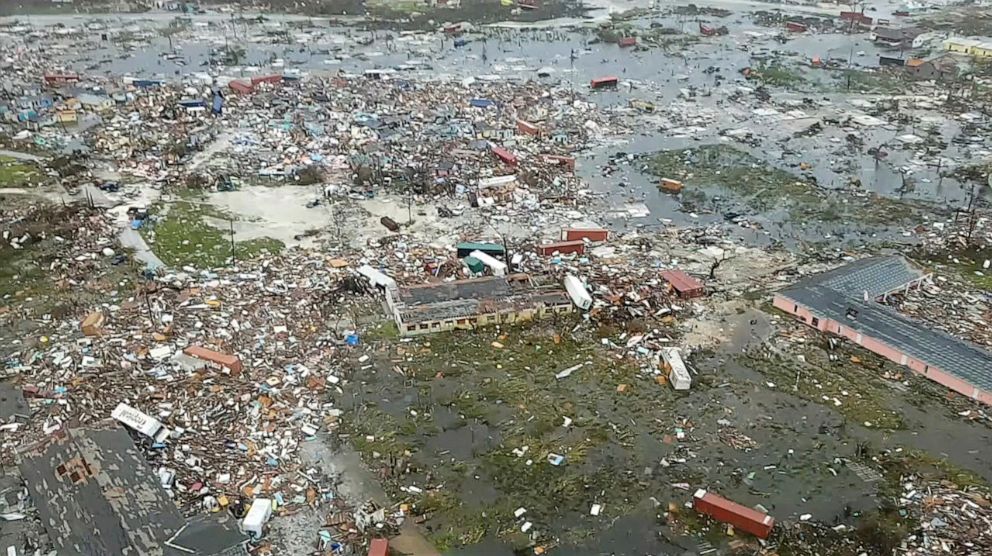
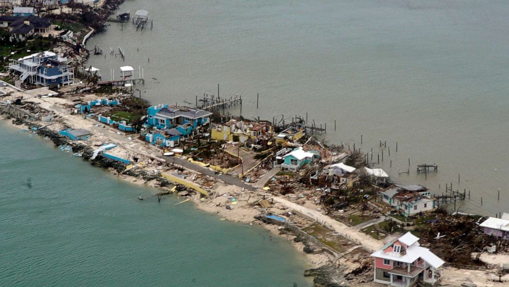
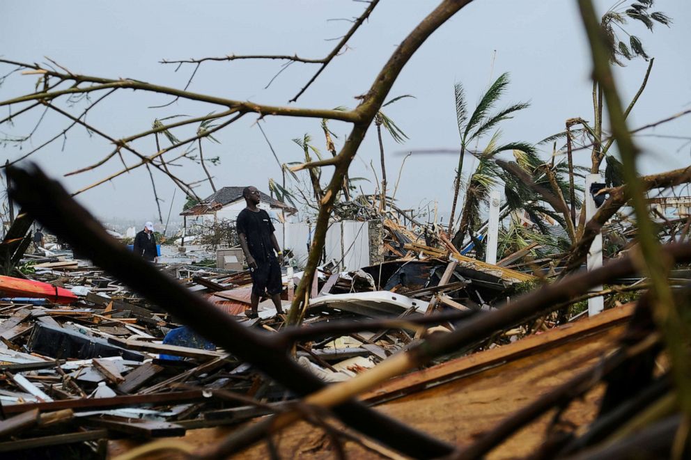
An aerial view of destroyed structures on the Abaco Islands in the Bahamas after Hurricane Dorian swept through the area, on Sept. 4, 2019.
Scott Mcintyre/The New York Times via Redux
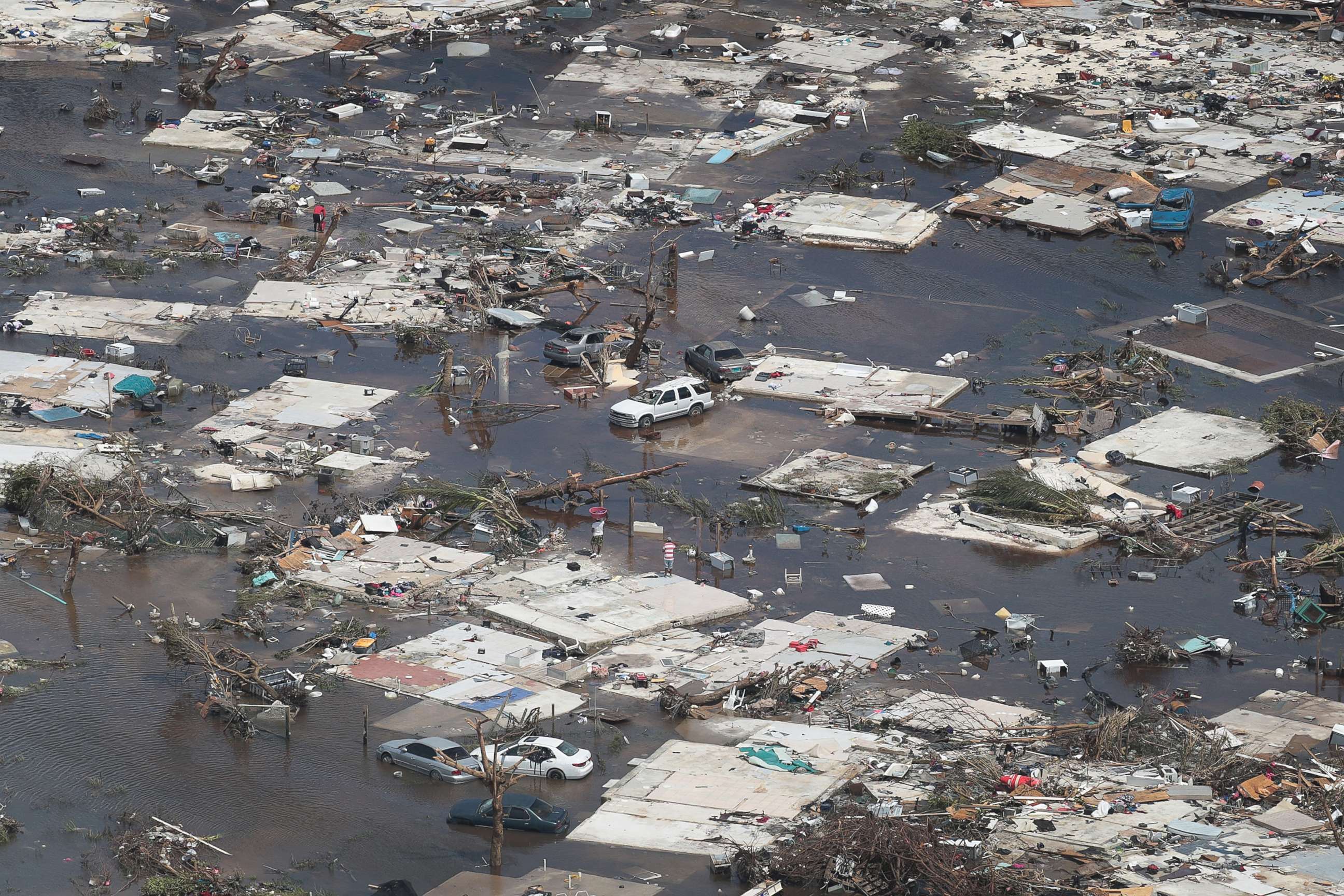
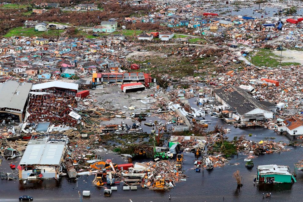
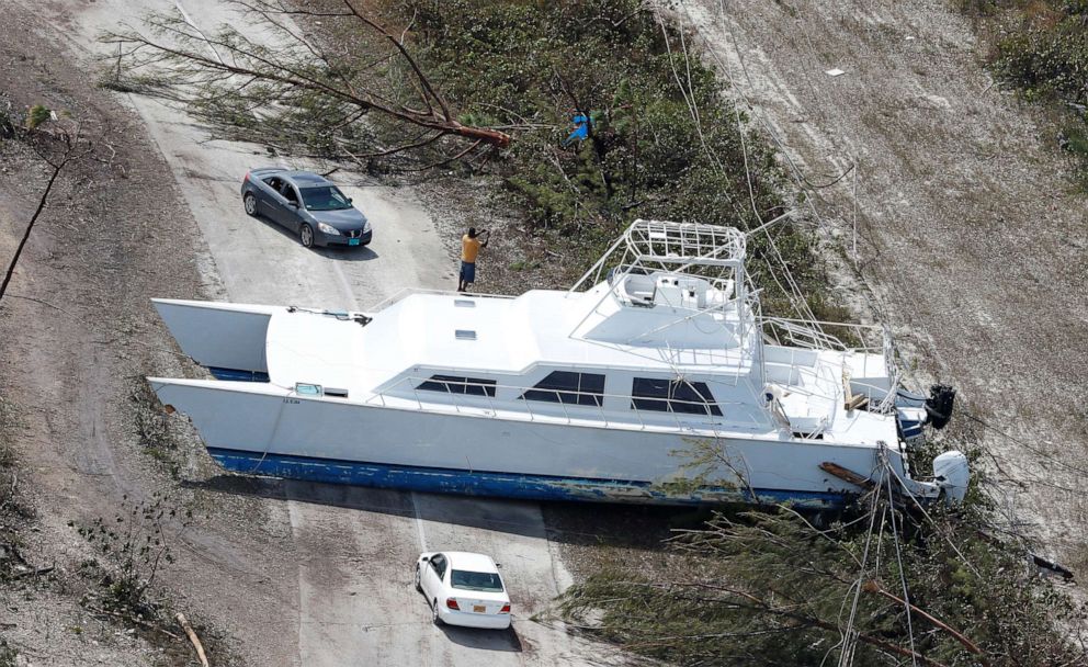
An aerial view of damage caused by Hurricane Dorian is seen on Great Abaco Island on Sept. 4, 2019, in Great Abaco, Bahamas.
Scott Olson/Getty Images
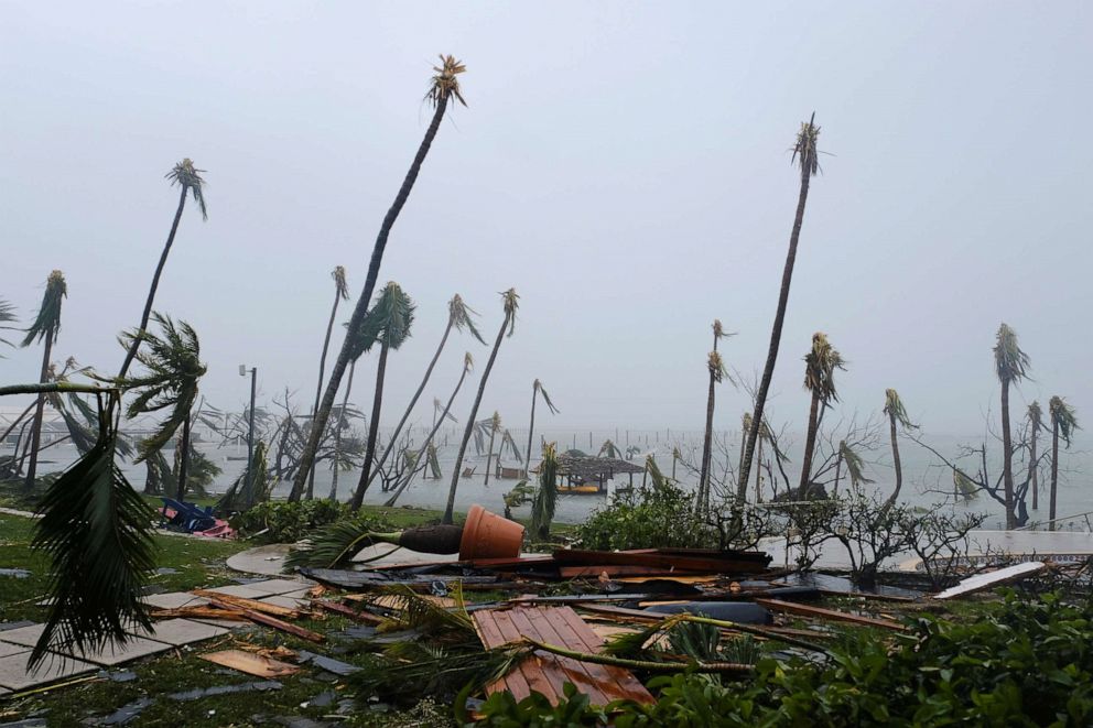
Following an air tour on Tuesday, Bahamas Prime Minister Hubert Minnis said authorities haven't been able to make a full assessment on the ground yet. He described the islands as "decimated" and the destruction "unprecedented."
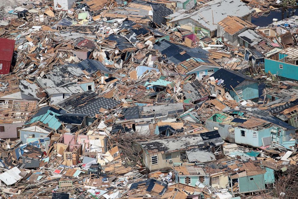
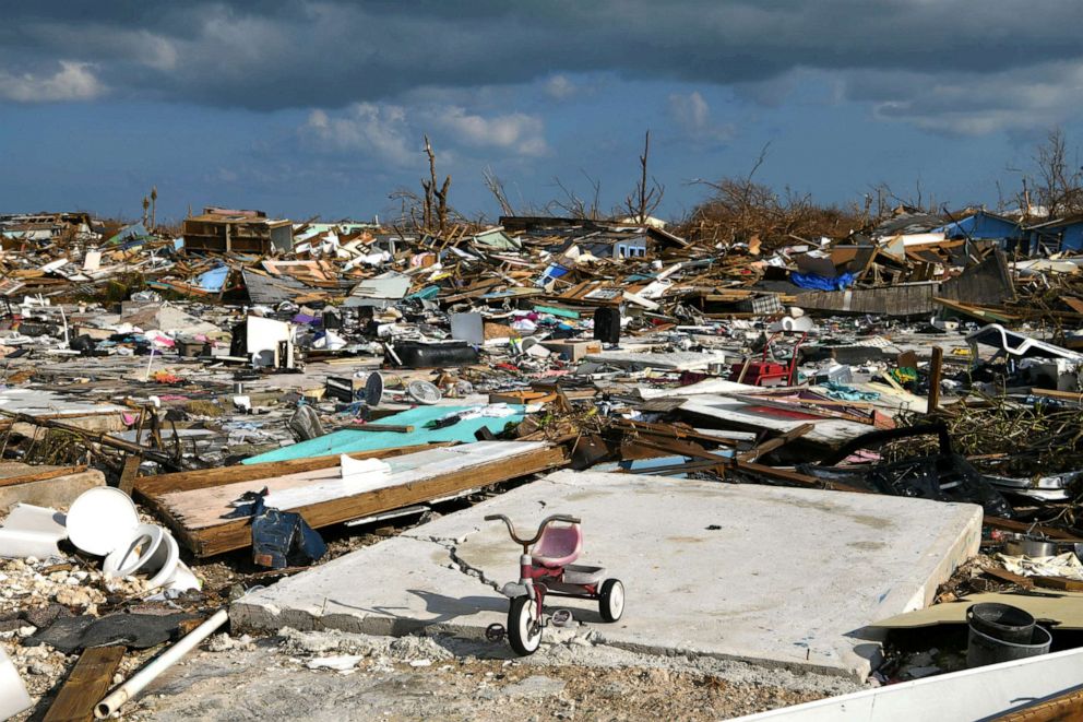
An aerial view of damage caused by Hurricane Dorian is seen on Great Abaco Island on Sept. 4, 2019 in Great Abaco, Bahamas.
Scott Olson/Getty Images
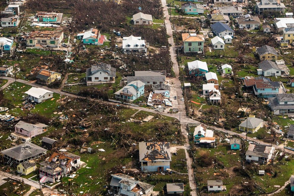
An aerial view of destroyed structures on the Abaco Islands in the Bahamas after Hurricane Dorian swept through the area, on Wednesday, Sept. 4, 2019.
Scott Mcintyre/The New York Times via Redux
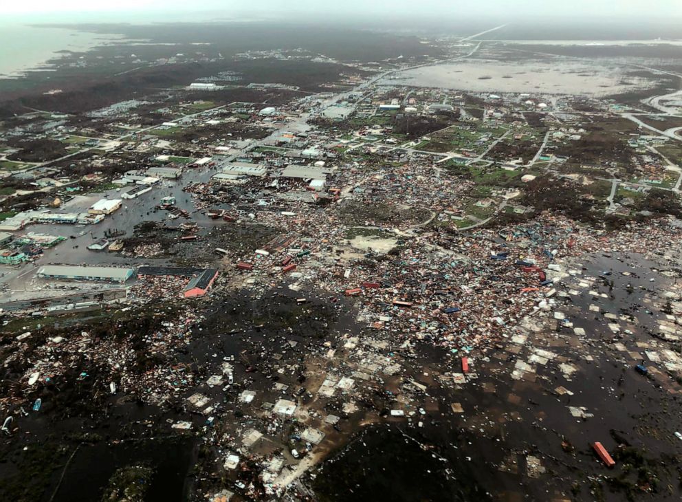
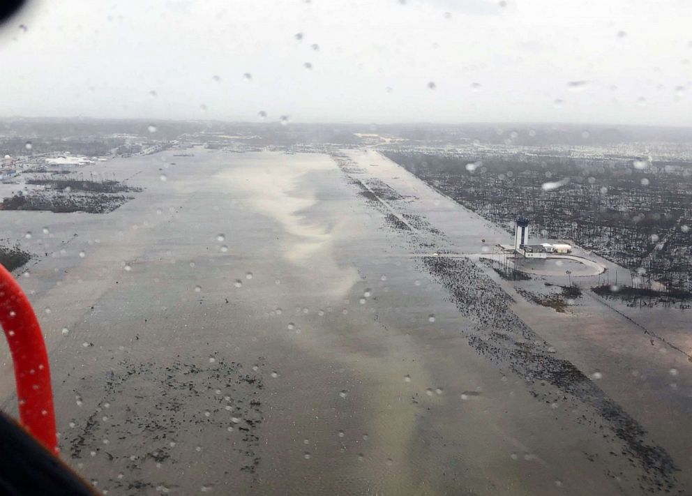
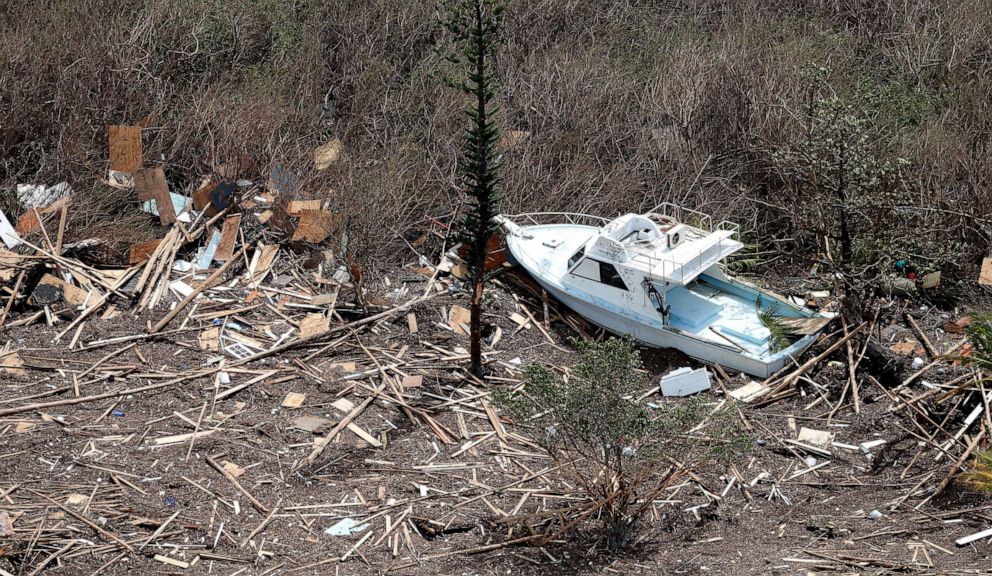
An aerial view shows devastation after Hurricane Dorian pummeled the Abaco Islands in the Bahamas, Sept. 3, 2019, in this image obtained via social media.
Michelle Cove/Trans Island Airways via Reuters
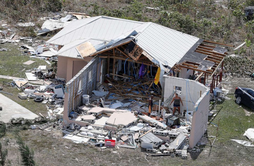
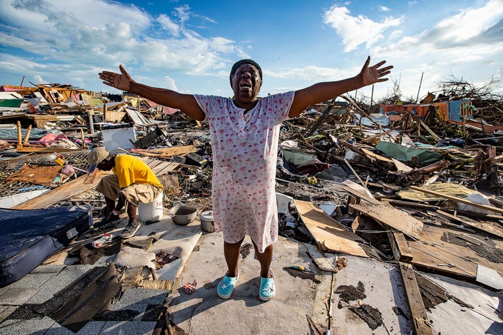
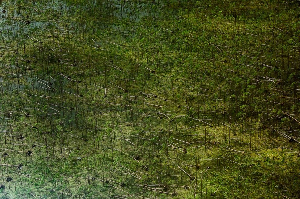
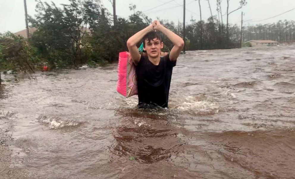
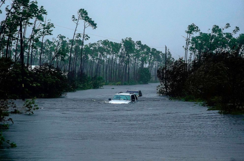
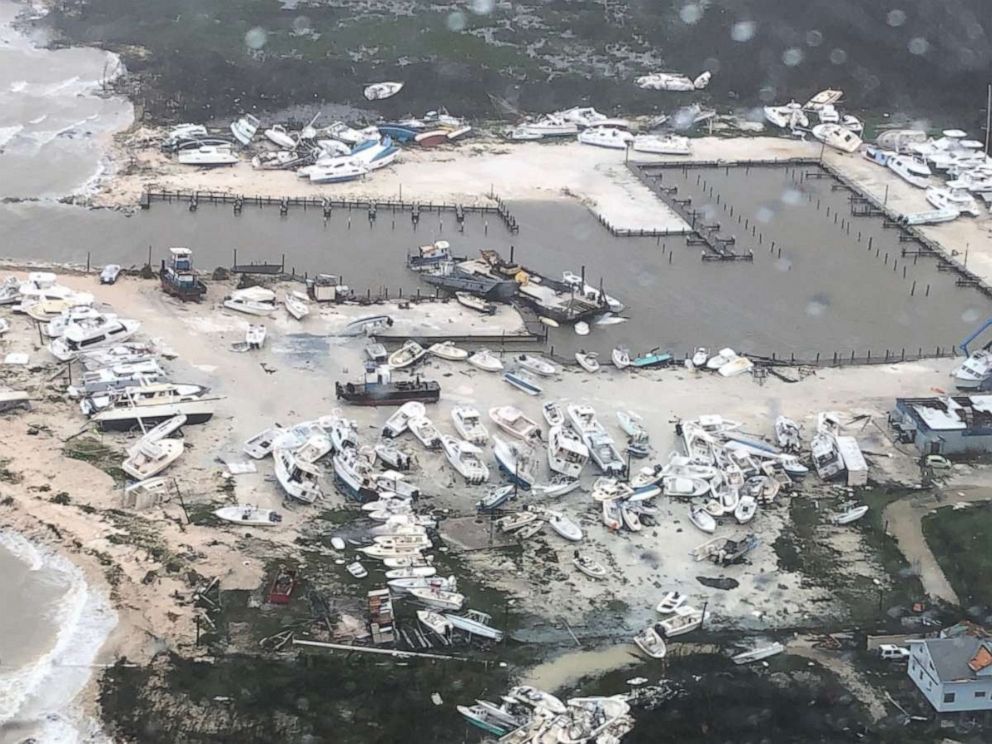
Photos taken from above reveal cargo containers and boats tossed like toys, roadways stripped of asphalt and towns under water. Roofs torn from buildings and debris litter the land and trees and piers have been stripped bare.