Mario Tama/Getty Images
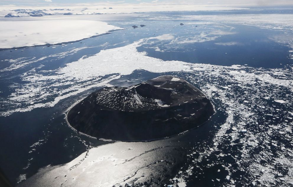
  • Mario Tama, a photographer for Getty Images, flew with NASA's Operation IceBridge, a six-year mission to monitor Earth's Arctic areas, out of Thule Air Base and other Arctic locations during its annual Arctic spring campaign. <br> <br> An iceberg is locked in sea ice near Thule Air Base in Pituffik, Greenland, March 25, 2017.
    Mario Tama/Getty Images
  • Thule Air Base is the U.S. military's northernmost base, located some 750 miles above the Arctic Circle. NASA's Operation IceBridge has been studying how polar ice has evolved over the past nine years, and is currently flying a set of eight-hour research flights over ice sheets and the Arctic Ocean to monitor Arctic ice loss aboard a retrofitted 1966 Lockheed P-3 aircraft. <br><br> Snow blows near Thule Air Base, March 25, 2017, in Pituffik, Greenland.
    Mario Tama/Getty Images
  • According to NASA scientists and the National Snow and Ice Data Center, sea ice in the Arctic appears to have reached its lowest maximum wintertime extent ever recorded on March 7, 2017. Scientists have said the Arctic has been one of the regions hardest hit by climate change. <br><br> A snowshoe hare stands near Thule Air Base, March 25, 2017, in Pituffik, Greenland.
    Mario Tama/Getty Images
  • Sea ice meets land as seen from NASA's Operation IceBridge research aircraft along the Upper Baffin Bay coast, March 27, 2017, above Greenland.
    Mario Tama/Getty Images
  • A section of glacier is seen from NASA's Operation IceBridge research aircraft along the Upper Baffin Bay coast, March 27, 2017, above Greenland.
    Mario Tama/Getty Images
  • Crevasses in a glacier are seen from NASA's Operation IceBridge research aircraft along the Upper Baffin Bay coast, March 27, 2017, above Greenland.
    Mario Tama/Getty Images
  • A section of ice sheet is seen from NASA's Operation IceBridge research aircraft along the Upper Baffin Bay coast, March 27, 2017, above Greenland.
    Mario Tama/Getty Images
  • An iceberg is locked in sea ice as seen from NASA's Operation IceBridge research aircraft along the Upper Baffin Bay coast, March 27, 2017, above Greenland.
    Mario Tama/Getty Images
  • Sea ice is seen from NASA's Operation IceBridge research aircraft, March 29, 2017, above Ellesmere Island, Canada.
    Mario Tama/Getty Images
  • Sea ice is seen from NASA's Operation IceBridge research aircraft, March 29, 2017, above Ellesmere Island, Canada.
    Mario Tama/Getty Images
  • A section of an ice field is seen from NASA's Operation IceBridge research aircraft, March 29, 2017, above Ellesmere Island, Canada.
    Mario Tama/Getty Images
  • A section of a glacier is seen from NASA's Operation IceBridge research aircraft, March 29, 2017, above Ellesmere Island, Canada.
    Mario Tama/Getty Images
  • A section of an ice field from NASA's Operation IceBridge research aircraft, March 30, 2017, above Ellesmere Island, Canada.
    Mario Tama/Getty Images
  • A section of an ice field is seen from NASA's Operation IceBridge research aircraft, March 30, 2017, above Ellesmere Island, Canada.
    Mario Tama/Getty Images
  • Sea ice is seen from NASA's Operation IceBridge research aircraft off the northwest coast, March 30, 2017, above Greenland.
    Mario Tama/Getty Images
  • Sea ice is seen from NASA's Operation IceBridge research aircraft off the northwest coast, March 30, 2017, above Greenland.
    Mario Tama/Getty Images
  • A glacier is seen from NASA's Operation IceBridge research aircraft, March 30, 2017, above Ellesmere Island, Canada.
    Mario Tama/Getty Images