How the US watches the sky -- and tracks what's flying overhead
NORAD, the FAA and third-party groups all monitor objects up above.
President Joe Biden spoke to the nation on Thursday about the recent shoot-downs of flying objects in U.S. and Canadian airspace.
He addressed how the military responded in the immediate aftermath of discovering a suspected Chinese sky balloon flying toward and then across the U.S. That vessel was subsequently taken down off the coast of South Carolina, on Feb. 4. The other objects were each shot down days later.
"Our military, through the North American Aerospace Defense Command, so-called NORAD, closely scrutinized our airspace including enhancing our radar to pick up more slow-moving objects above our country, around the world," Biden said Thursday.
The strategy of monitoring U.S. airspace -- from before the recent saga of high-altitude objects -- includes a combination of military and other government systems watching the skies above.
NORAD: Tracking threats and Santa
NORAD uses a self-described "network of satellites, ground-based radar, airborne radar and fighters" to monitor and protect Canadian and U.S. airspace. That network is under scrutiny after the initial high-altitude balloon flew over North America beginning on Jan. 28. One piece of that technology is the same tool used to track Santa every year.
On Dec. 25, 2022, the official NORAD Tracks Santa Facebook page posted an update, saying the "E-3 Sentry has detected Santa flying south from Alaska."
While Saint Nick may be mythological, the rest of the year the E-3 Sentry actually serves as an "airborne warning and control system," according to the U.S. Air Force.
It's a modified version of the Boeing 707/320 airplane with a 30-foot wide radar attached to it. According to the Air Force, the E-3 "can detect, identify and track airborne enemy forces far from the boundaries of the United States or NATO countries."
The FAA's approach
The Federal Aviation Administration monitors U.S. airspace to help pilots safely navigate the skies. The FAA's National Airspace System encompasses "controlled and uncontrolled airspace, both domestic and oceanic" as well as information used to make air travel safe, according to the agency.
The NAS, according to its website, also involves air navigation facilities, equipment, navigation information, aeronautical information and rules and regulations, among other things.
According to the FAA, the organization is moving away from the familiar radar technology and toward an Automatic Dependent Surveillance-Broadcast (ADS-B), which uses satellites to show both controllers and pilots other aircraft, hazardous weather and any necessary flight information.
Third-party information
There are also third-party websites that give the public an interactive way to see available data.
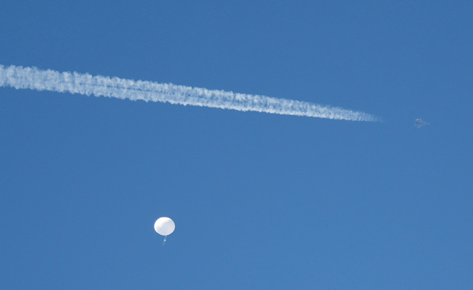
Sites like the SondeHub Tracker use a network of hundreds of receivers across the world to track radiosondes, which are the small devices attached to high-altitude balloons that take measurements and transmit back to the ground.
There are limitations to online trackers because they don't have all available data points.
However, with the available information, users can see real-time updates -- including location, altitude and any recorded measurements. Sites like SondeHub also give people the ability to find radiosondes once they return to earth.
Related Topics

Popular Reads
ABC News Live