Charleston is vulnerable to storm surge, and Hurricane Ian is taking aim
More storm surge is expected than what Charleston Bay can handle.
Another coastline known for its sensitivity to storm surge will feel Ian's wrath as the storm system strengthens back into a hurricane and makes another landfall in a vulnerable region.
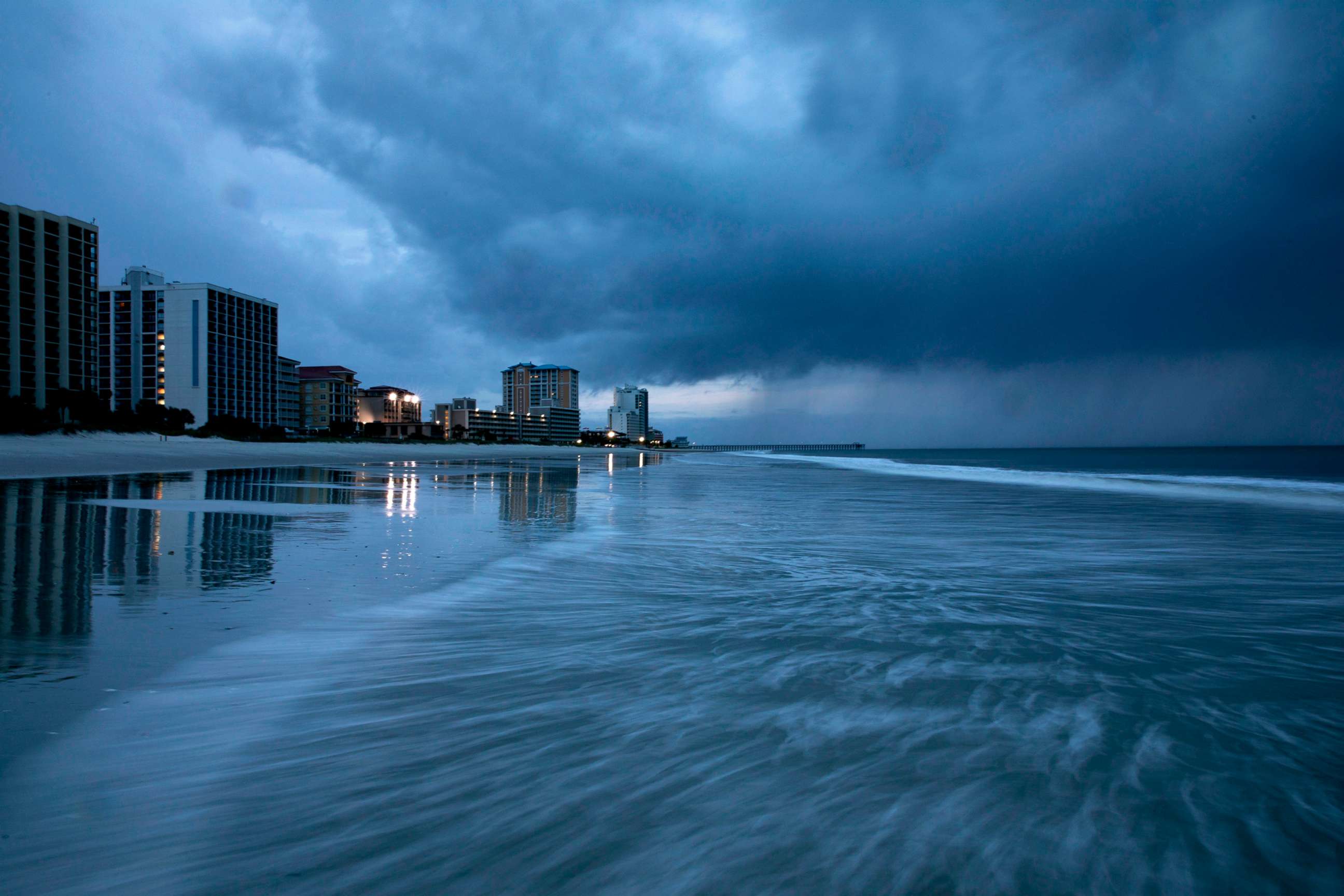
While Ian made a slow crawl through central and northern Florida on Thursday as a tropical storm, its sights will soon be set on the coast of South Carolina -- specifically Charleston, which historically does not do well with storm surge.
After exiting into the Atlantic Ocean, the warms waters, combined with the Gulf Stream, could allow Ian to regain strength as it heads toward the South Carolina coast as a Category 1 or even Category 2 storm.
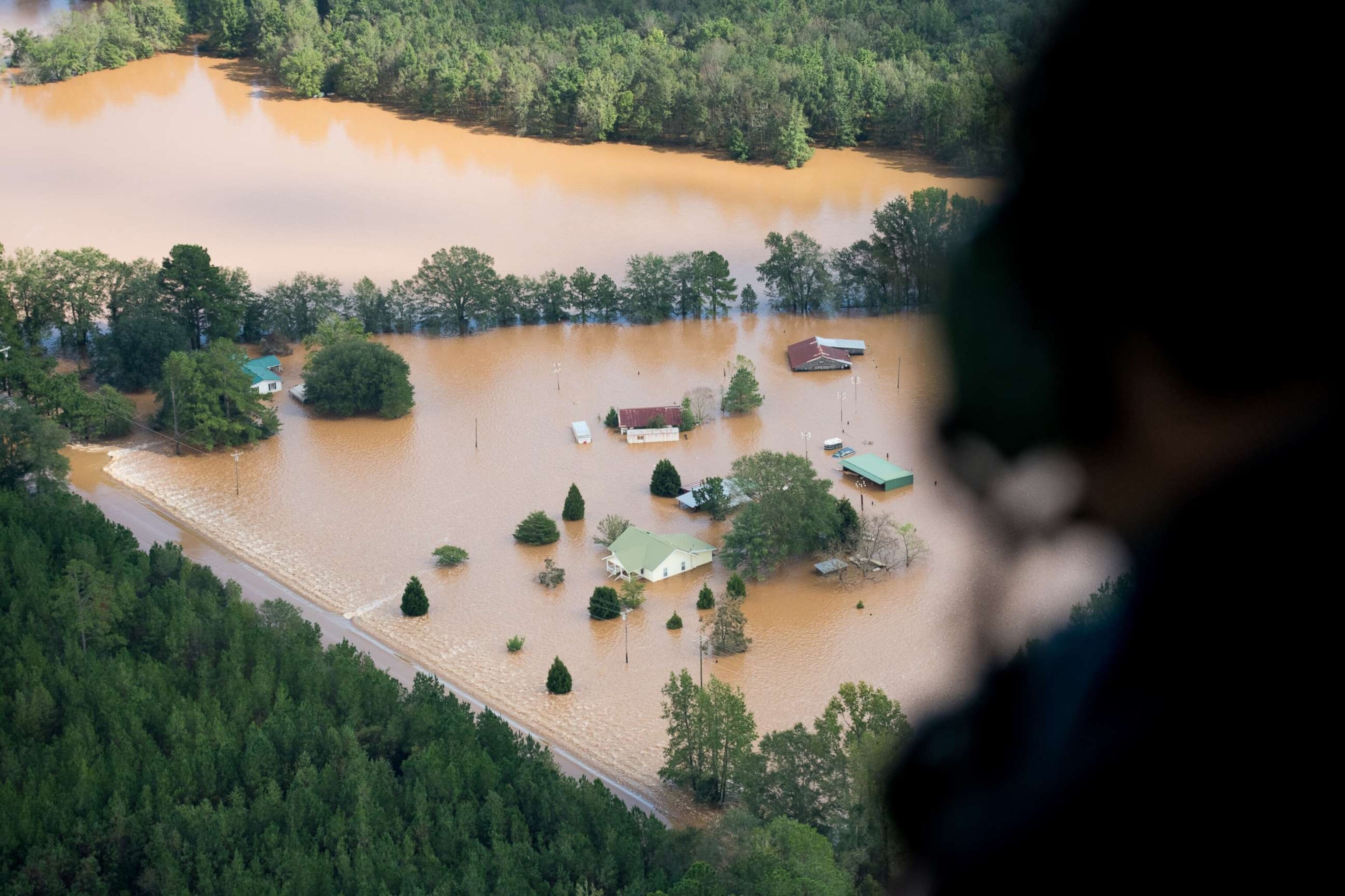
Charleston is extremely susceptible to storm surge due to its geography and proximity to the coast.

Nearly 90% of Charleston homes and businesses are vulnerable to storm surge, a 2020 report conducted by the City of Charleston found.
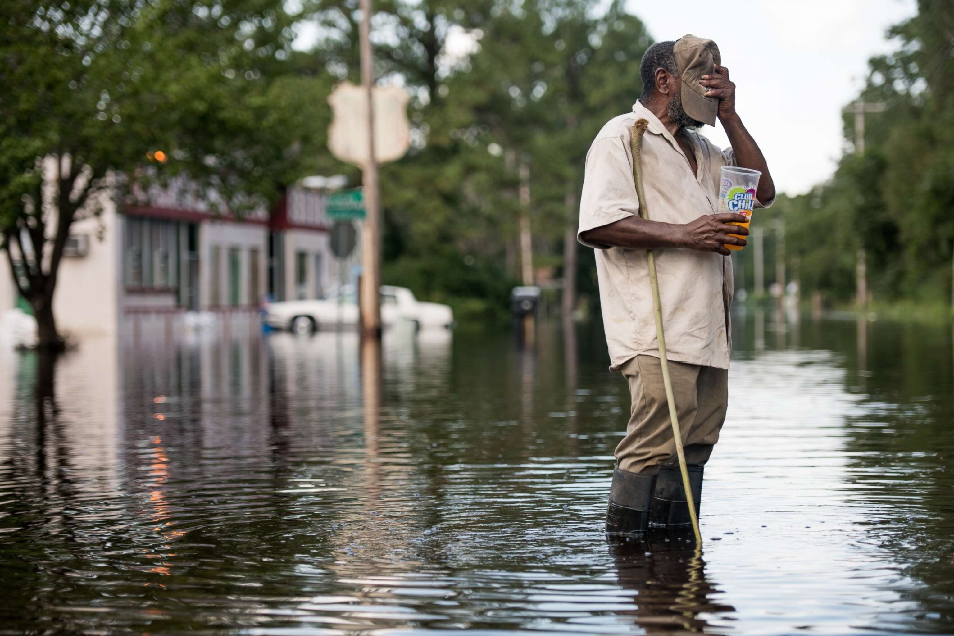
During a major flooding event, emergency responders would not be able to reach about 86% of properties citywide due to roadway flooding, the report found.
Many areas surrounding Charleston Bay could be flooded with even just over 3 feet of surge.
Meteorologists are forecasting a storm surge in Charleston topping 7 feet, putting those who live near the coast in peril. The all-time record for storm surge in the region is 9 feet after Hurricane Irma struck in 2017.

A hurricane warning has been issued for the entire coast of South Carolina, while parts of Georgia are now under hurricane watch advisories, and parts of North Carolina are under tropical storm warnings.
The system is expected to form back into a hurricane Thursday night and could make landfall in South Carolina Friday morning.
Ian had already threatened other regions particularly vulnerable to storm surge.

South Carolina will be Ian's fourth landfall. The hurricane first made landfall as a Category 3 storm near La Coloma, Cuba, on the southwest side of the island, early Tuesday morning.
The system then traveled up the Gulf of Mexico and made landfall twice in Florida on Wednesday afternoon -- first near Cayo Costa, near Fort Myers Beach, as a Category 4 storm with 150 mph winds and again 90 minutes later in Punta Gorda, near Pirate Harbor, with winds at 145 mph.
Ian's path of destruction is far from over.
ABC News' Max Golembo contributed to this report.


